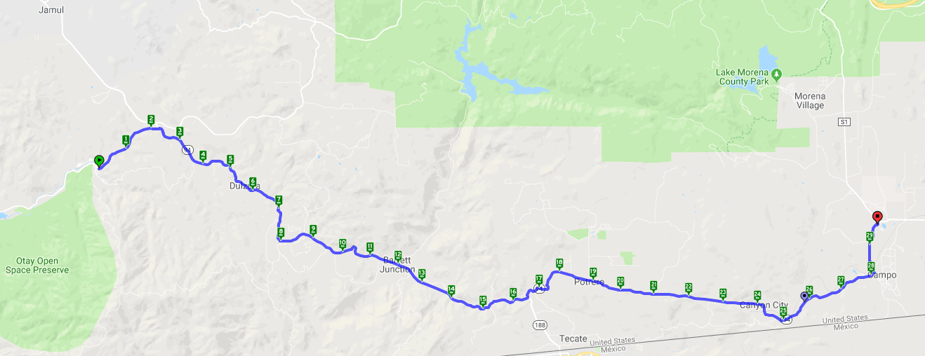
Pio Pico RV Resort & Campground to Cameron Corners, CA
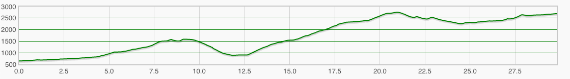
Daily Elevation
I actually slept pretty well in the back of the truck. It is good to know that if we really don’t want to pitch our tent once in a while, we can make it work. I awoke around 7 AM and was happy to see that it wasn’t raining, but is the bridge passable so we can get out of here and ride? A scouting party went out and came back with the good news that the bridge is clear, although the main road out is flooded, but we can walk around it. Awesome!
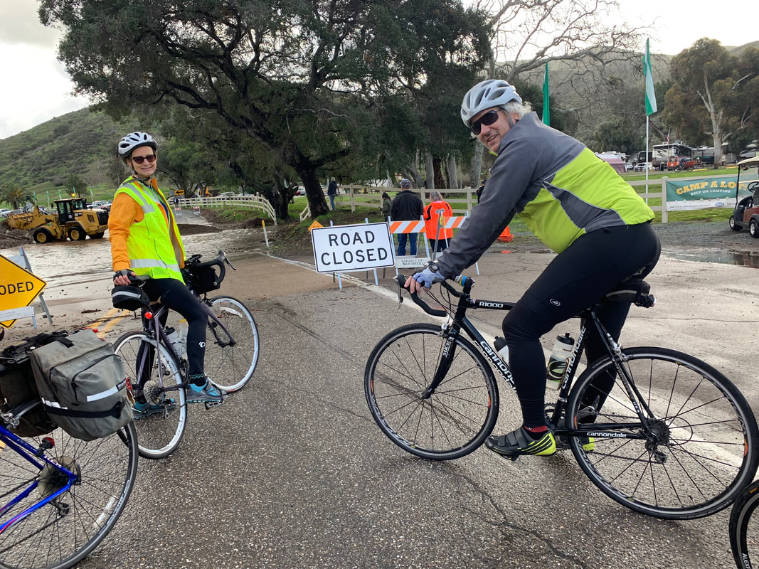
Road Closed, but there is a walk-around
It was a little chilly this morning, so nobody was in too much of a hurry to leave, but we were finally motivated and got on the road at 10 AM. When we got out on the main road there was much action going on with a river flowing across the road and a back hoe trying to remove the mud. There were a lot of people gathered around watching the show as we rode/walked around the flooded road. By the way, I should have mentioned that today is one of the hardest days on the entire ride. Yes, we only have 30 miles to ride, but we have the second most feet of climbing on the entire ride. This is the day that I have been thinking about since I saw the route. Yes, I have many miles in the saddle of a bicycle, but very few were climbing over mountain passes. I thought about today on every training ride we did in preparation. I even did some running to help improve my cardio so I could climb over 3,000 feet in one day.
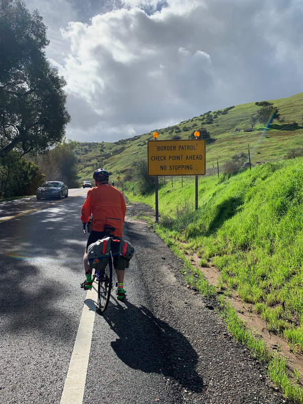 Yes, we are riding close to the Mexican boarder | 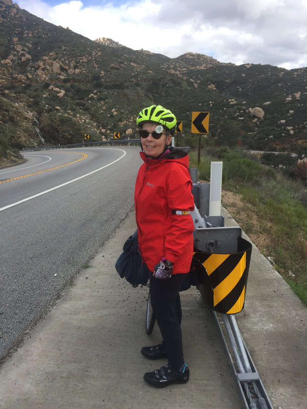 Mel enjoying a roadside break |
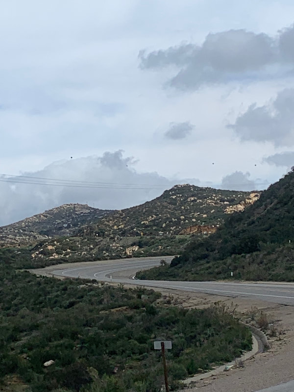
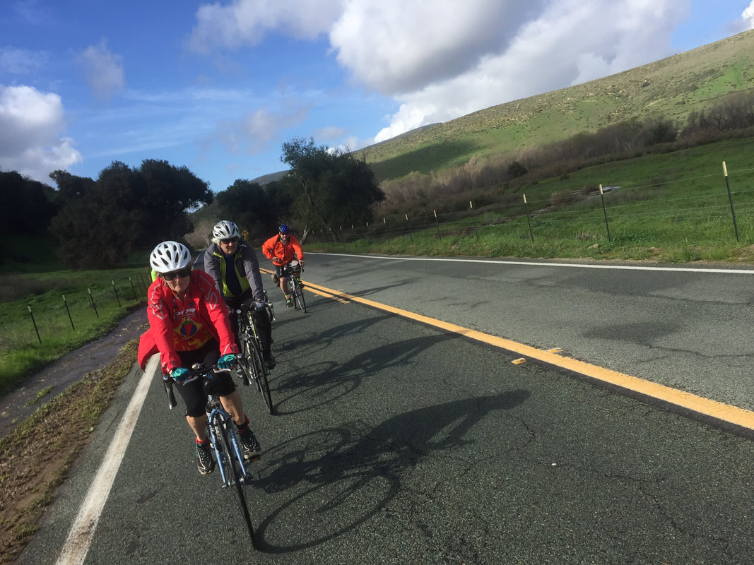 Beautiful scenery | 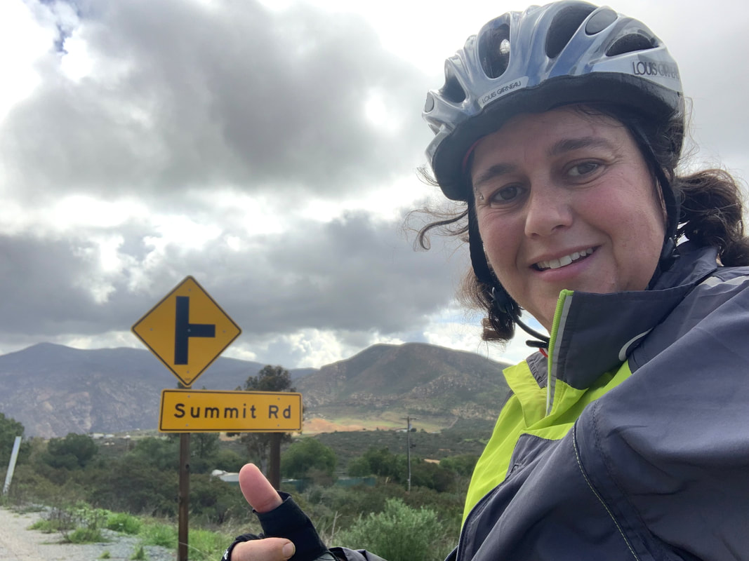 First long climb of the day compete. |
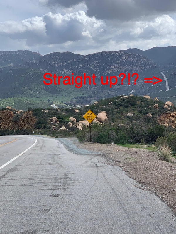
Anyway…we arrived at our first rest stop, Barrett Junction, and found it to be the perfect stop. The road in front of us looked like it went straight up the mountain. After consulting google maps, it was determined that in the next 7 miles, we have to climb 1,480 feet, meaning an average grade of 4%…that is some substantial climbing.
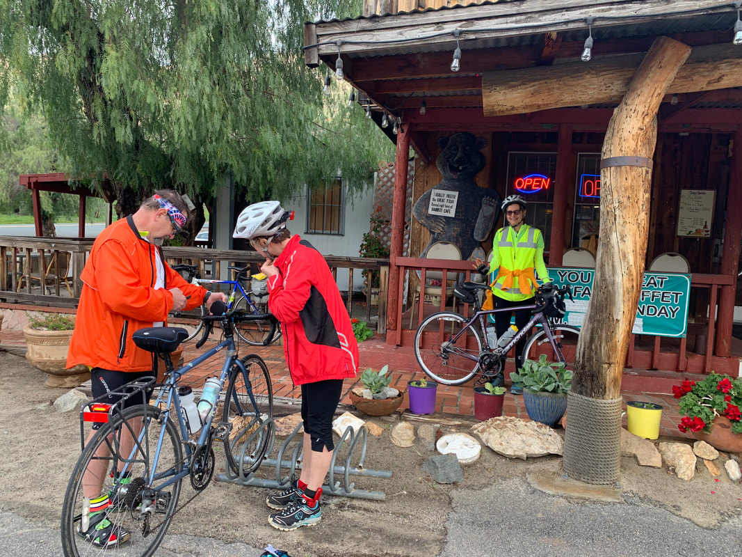
Taking a break in front of Barrett Junction Cafe & Mercantile
After a half-hour or so break, we got back on the road. It was a struggle with many stops to rest for a couple of minutes, but one hour later I arrived at our second rest stop in Potrero. We have now completed over 70% of the climbing for the day. The last 10 miles of the ride promised to be better, with 950 feet of climbing, but there was almost 700 feet of downhill to look forward to.
 Steep, curvy mountain road we are climbing | 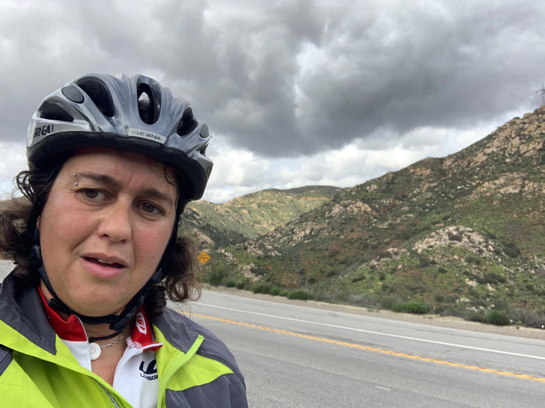 One of my many rest breaks |
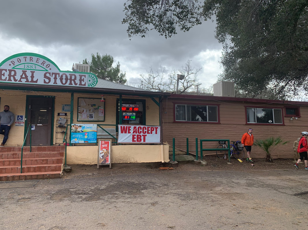
Break at Potrero General Store
We had a snack and some Gatorade and saddled up for the last 10 mile stretch. The climbing was hard, but the downhills were awesome. There was one straight, steep down with an immediate straight up, so I just let it fly and before I knew it my speedometer was reading 41 miles per hour….woohoo. There was then a climb, but it was followed by an awesome stretch of down with a few turns that was just beautiful and fun. All this down almost makes the ups worth it…almost. The scenery is really pretty with lots of green thanks to the current rain.
On the climb back up, I noticed a Pacific Crest Trail (PCT) sign. This is mile 2.31 on the trail. 2 years ago I was in this exact place on my first day of my PCT thru-hike. Who ever thought I would be back here again?!?
On the climb back up, I noticed a Pacific Crest Trail (PCT) sign. This is mile 2.31 on the trail. 2 years ago I was in this exact place on my first day of my PCT thru-hike. Who ever thought I would be back here again?!?
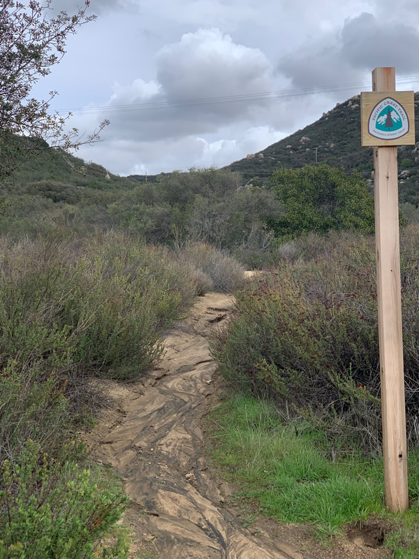 PCT trailing crossing |  PCT app proving I am on the PCT...agian |
A few miles later I arrived at Campo where my PCT hike actually started…mile 0 of the PCT.

Campo, Mile 0 of the PCT
Right across the street was a sign that noted we have completed the first 50 miles of our adventure.
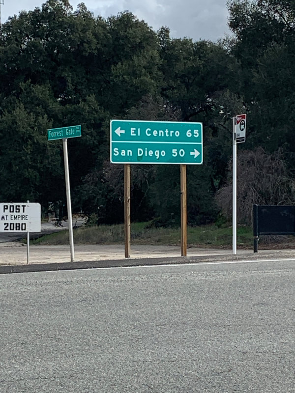
San Diego is 50 miles behind up!
I then finally arrived at the end of our ride at Cameron Corners after completing the most climbing I have ever done in one day. I actually felt pretty good proving that all the hill training we did in Palm Springs really paid off. Tim also did better than he thought he would. He figured he would have to walk his bicycle up some of the steeper parts, but he didn’t have to.
Our campground is actually 5 more miles up the road, but since this road is off the official course, Patrick came down and picked us up…all but Mary who still had the energy to climb these 5 miles to the campground. Arrive campground, eat a snack, change clothes, pitch our tent, drink some hot chocolate, and just relax for a bit. By the way, this campground, Lake Morena County Park, is right on the PCT at mile 20. Tim and I have stayed here twice during our PCT adventures…again, who would have thought that we would be back here?!?
From the PCT days, I knew there was a general store that served pretty good food, so we all walked the half mile and enjoyed a nice dinner. We got back to the campground and everyone was ready for bed…at 8:30 PM! This seems to be a group of early to bed people. Tim and I went to the tent and dressed up in our cold-weather sleeping gear since it is supposed to rain and get down to 39 degrees tonight. We aren’t too freaked out about the rain since it is forecasted to stop around 7 AM…let’s just hope the forecast is correct.
Tomorrow is supposed to be pretty cold to start. It will be our longest day so far at 70 miles. We do have over 2,000 feet of climbing, but we also have over 5,000 feet of descending. I’m kind of looking forward to it, especially since we get to stay in an AirBnB and we have the next day off. Until tomorrow…
 RSS Feed
