Tuesday, 19 November 2019
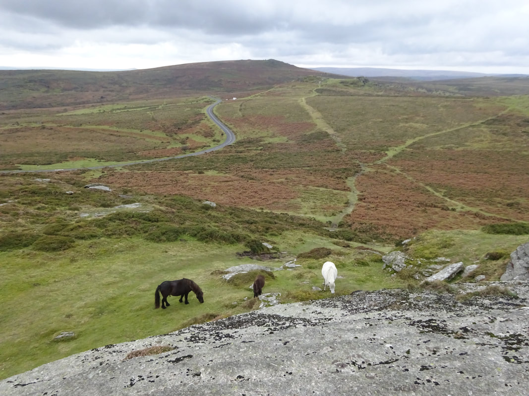
Today we are doing "Dartmoor Driving Tour" in Rick Steves' England guidebook. FIrst stop is in an area called "The Moors". A moor is land with a relative lack of vegetation except for high grasses and heather. This area has long views of undulating expanses of open land without trees, but is littered with prehistoric stone monuments.
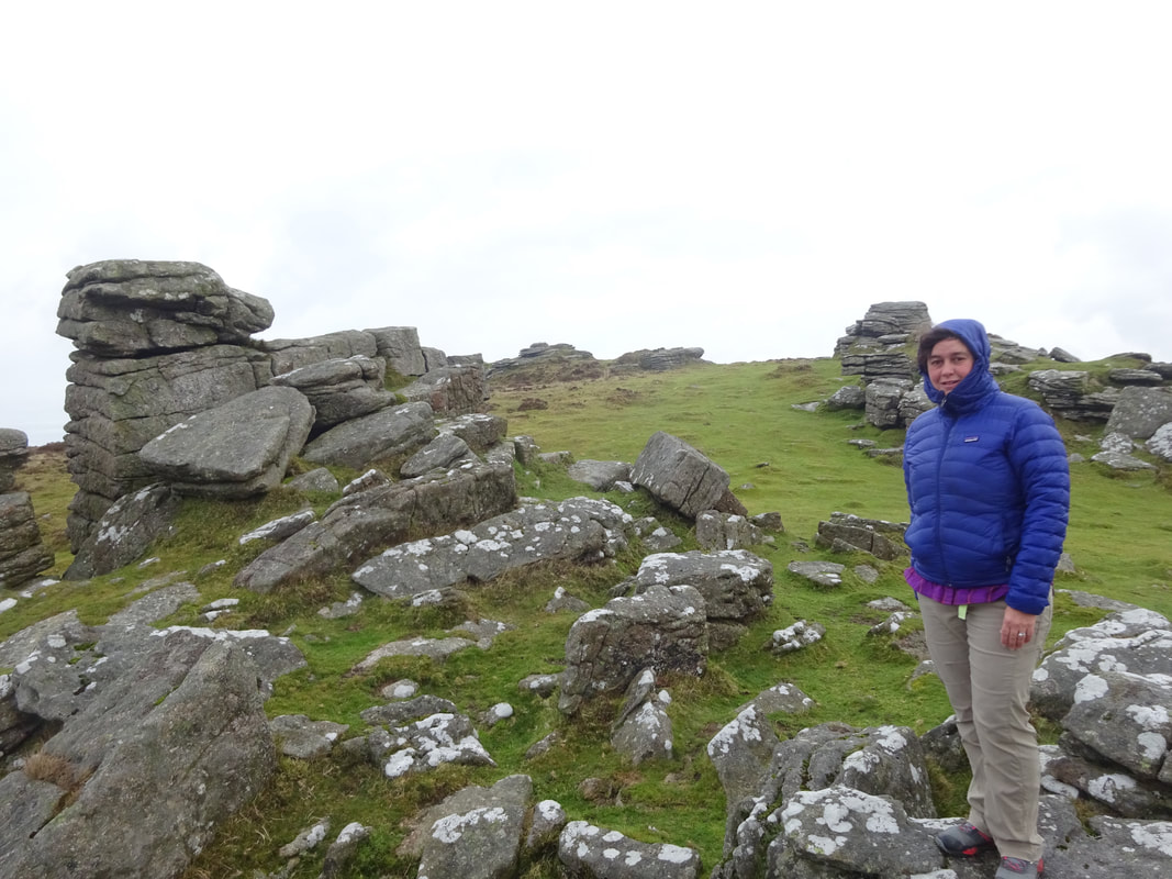
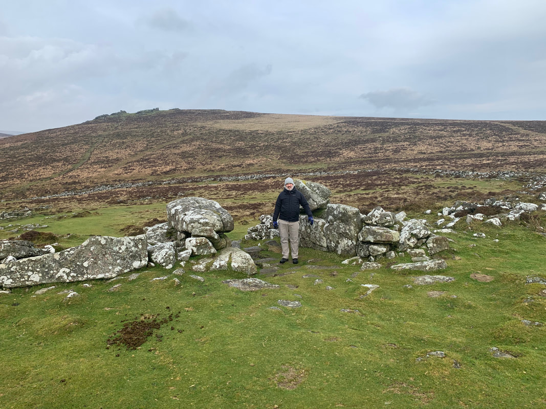
Our first stop is to hike up to a stone monument called "Grimspound." We parked on the side of the road and hiked up a hill to the monument. Here are some nice "view" photos:
Our first stop is to hike up to a stone monument called "Grimspound." We parked on the side of the road and hiked up a hill to the monument. Here are some nice "view" photos:
 |  |
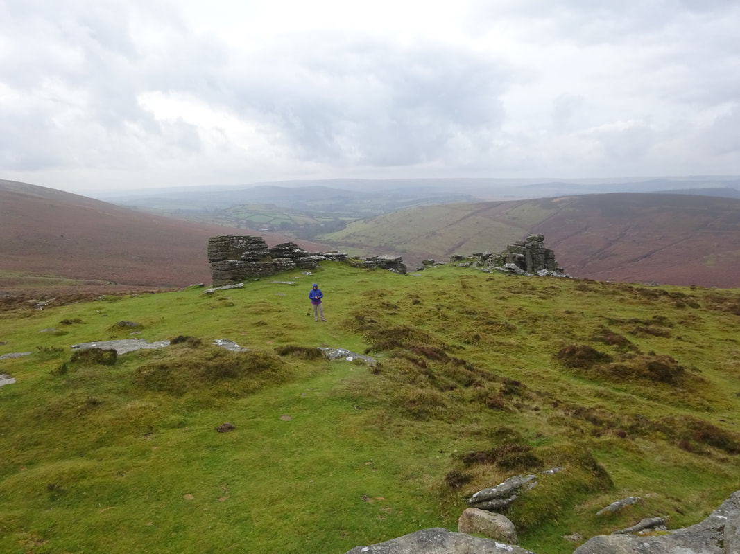
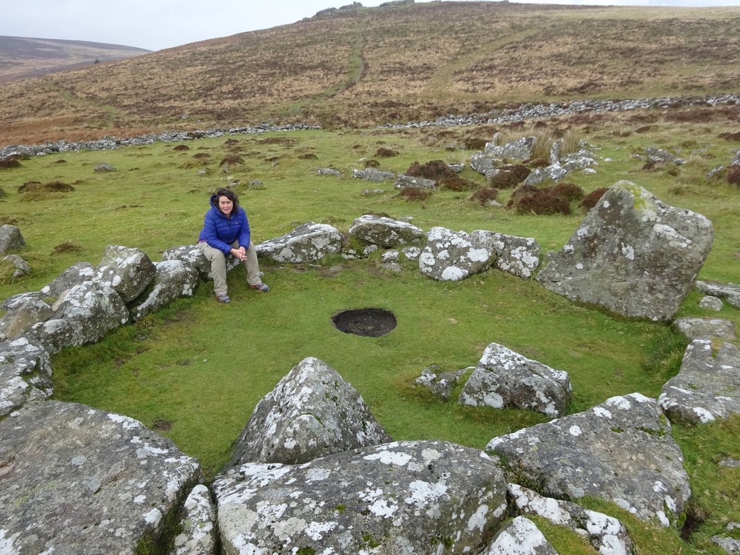
Below us is Grimspound (see the circle of rocks):
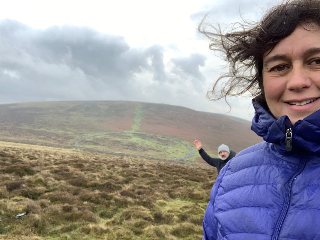
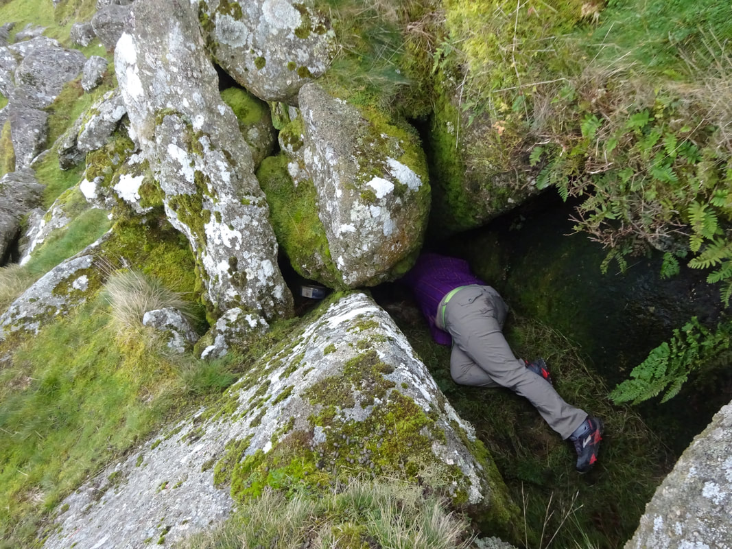
Gruimspond dates from 2000 BCE and is a late-Bronze Age fortress used as a settlement for 800 years. The inner stone circles, like the one I am sitting on below, would have been stone huts.
 |  |
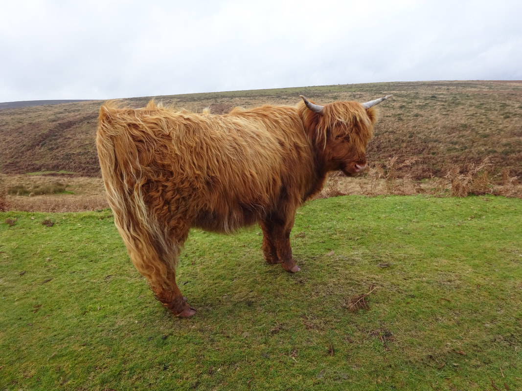
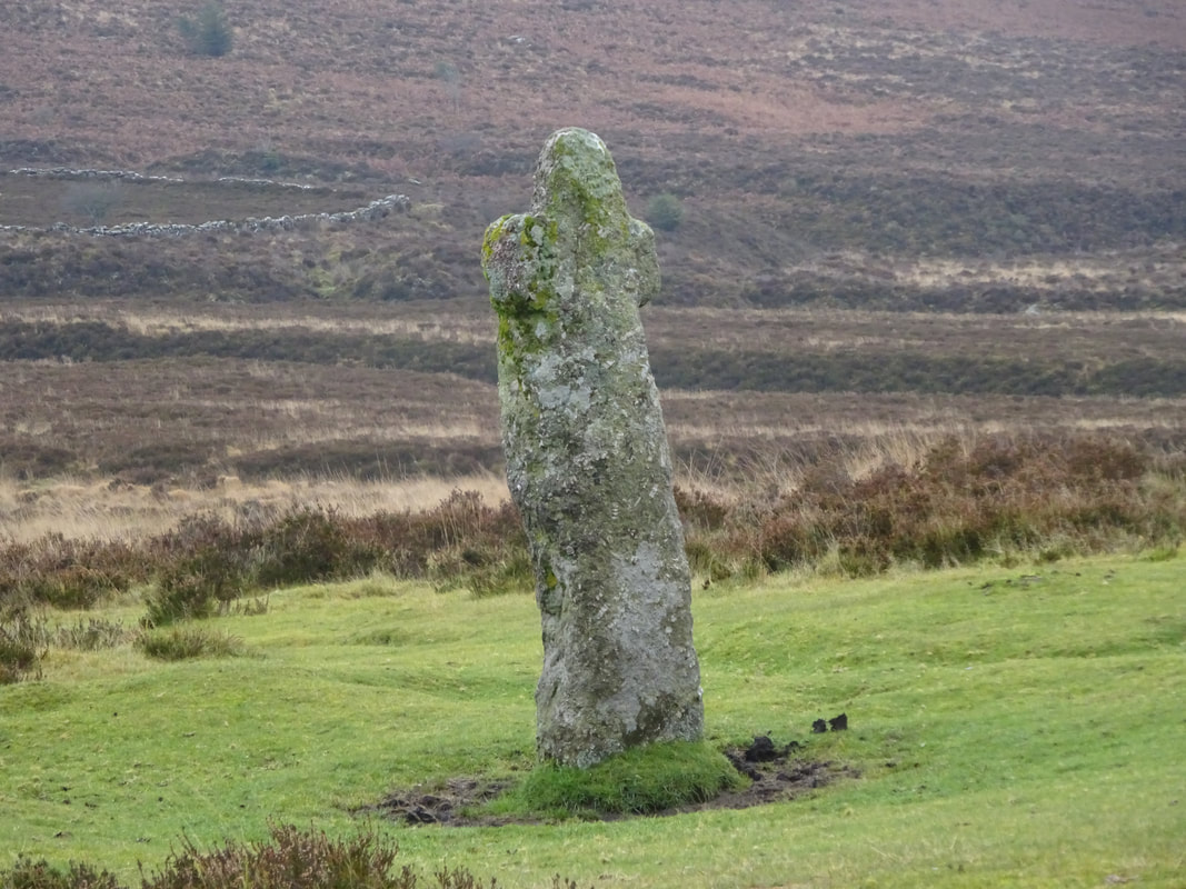
We returned to the car to continue the driving tour. We passed these cool cows on the side of the road along with a celtic cross. These celtic crosses are found all along the road and marked the way for villagers to cross the moor, often for funeral processions.
 |  |
Further down the road is the village of Postbridge, and has a very cool and very old bridge called a clapper bridge that dates back to the Middle Ages.
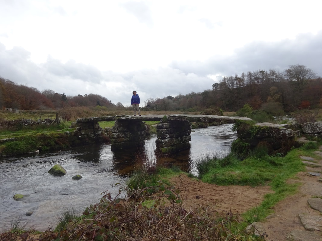
Clapper Bridge
It was about noon and we were hungry so we stopped in the next town, Widecombe-in-the-Moor. This was a very small town with a cute church. Luckily there was a gift shop that sold pasties.
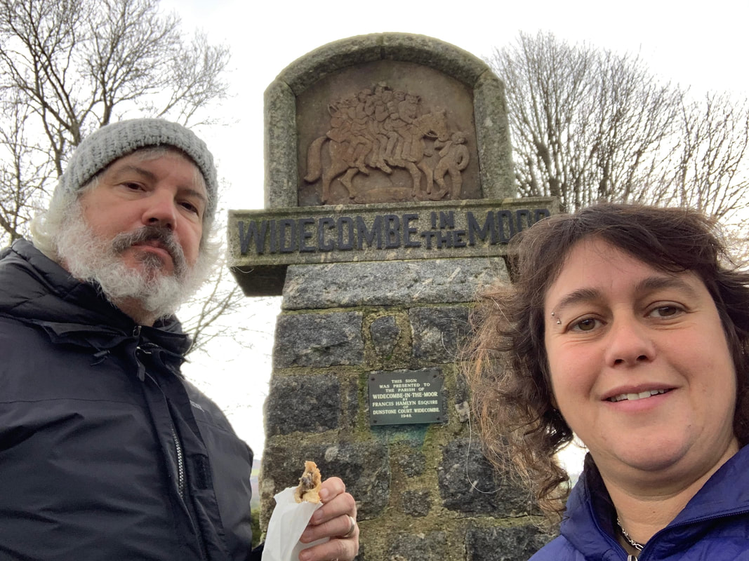
Eating a pastie in Widecombe.
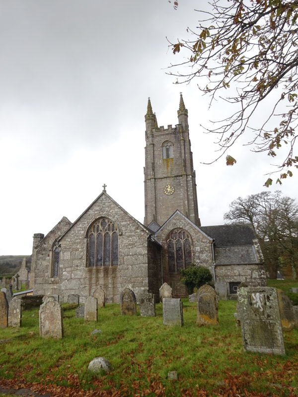
Church of St. Pancras.
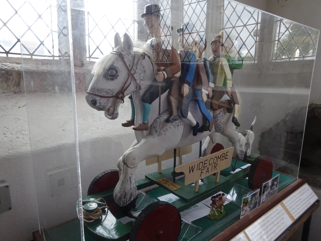
This image of many people on the back of a gray mare appears all over town. Notice the city sign above as well. The image comes from a popular folk song called Widecombe Fair about a a man called Tom Pearce, whose horse dies after someone borrows it to travel the the fair in Widecombe with his friends, making 8 people aboard this poor mare...no wonder it died.
 |  |
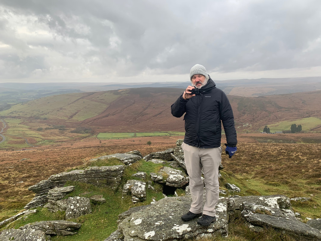
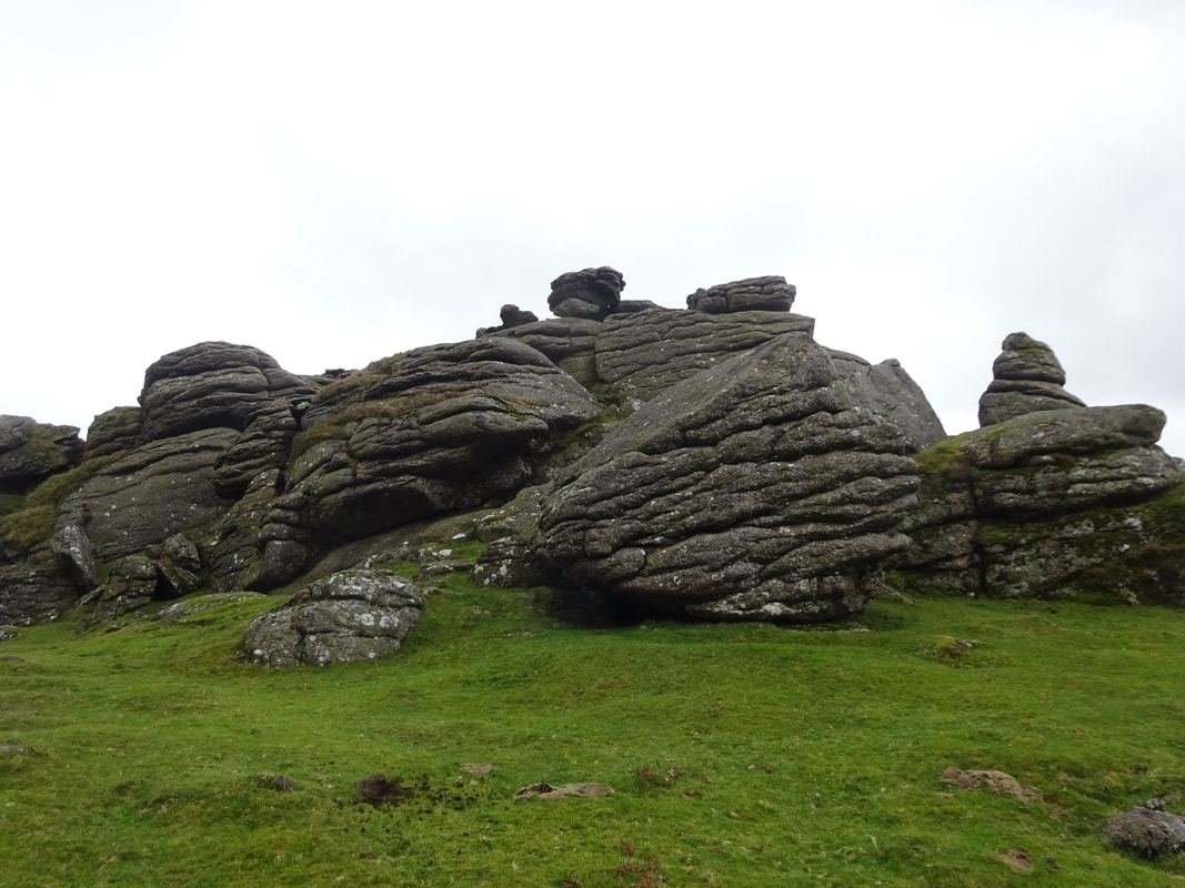
Back to the car with the next stop being Haytor, one of many bare granite peaks that poke out of the moor landscape. While climbing up to it, I located a geocache. Tim says that I am way to motivated to get to these hidden canisters.
After about 15 minute hike up hill, we came to the granite peaks. Wait...this doesn't match the photo in the guide book! Oops...wrong granite peaks. These wound up being called Saddle Tor.
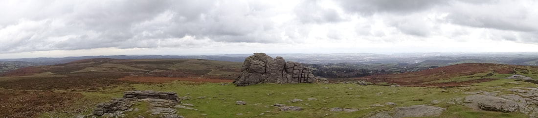
Back to the car, and around the next bend we saw Haytor.
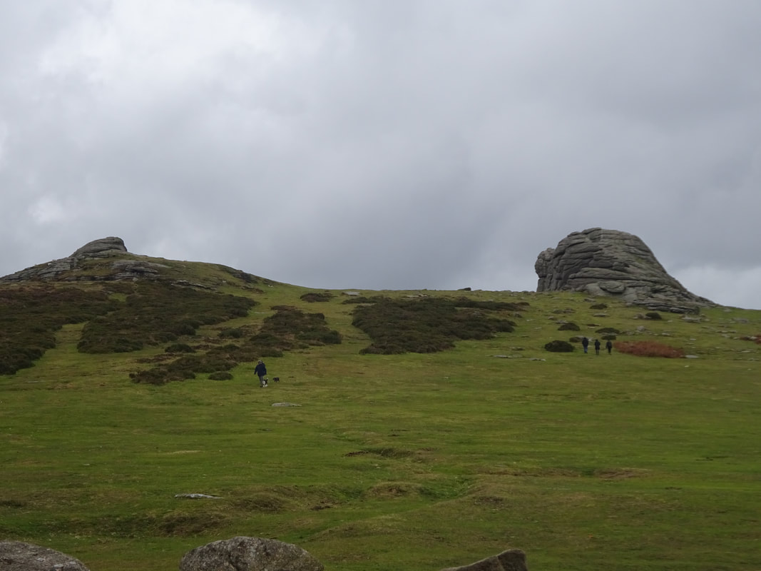
Less than a 10 minute walk up the hill and we arrive:
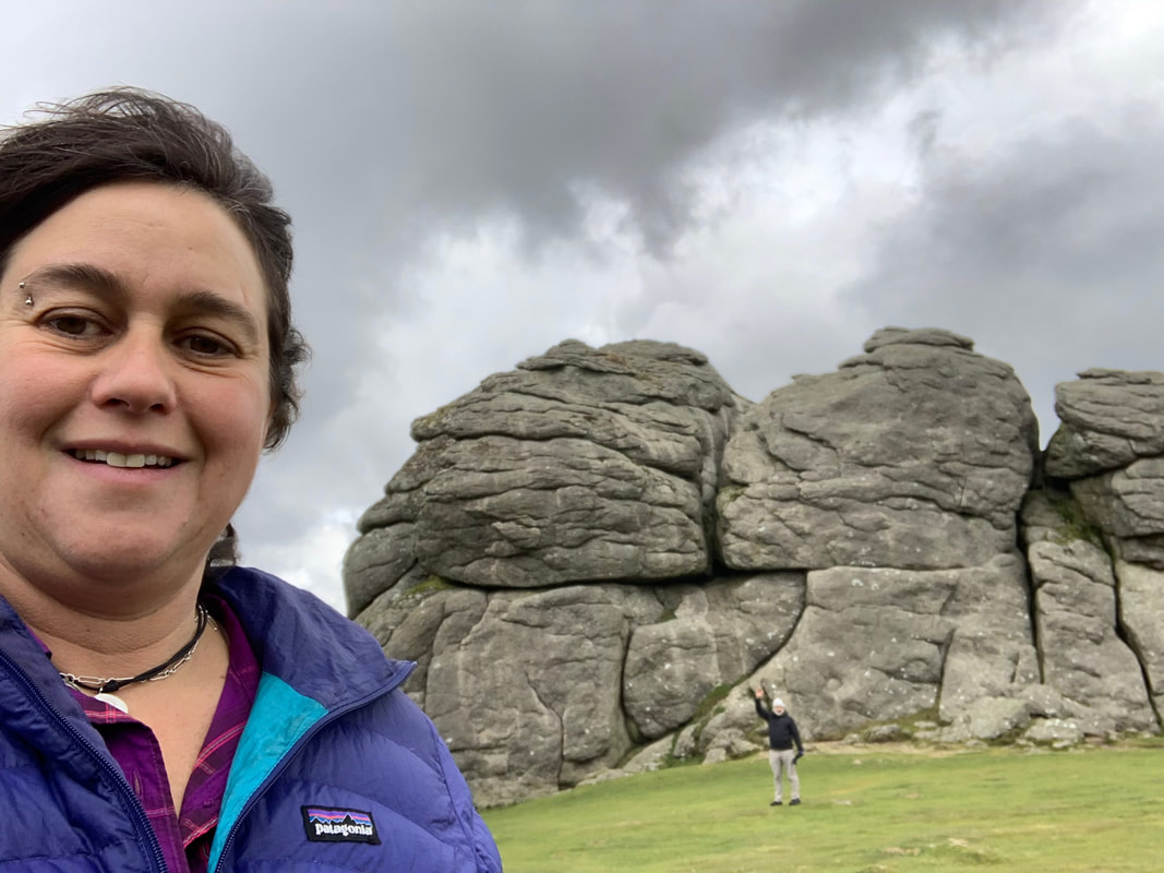
Haytor
What a great view from up here.
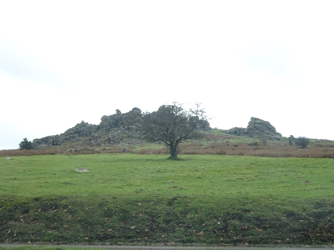
Back on the road to the last stop on our driving tour, Hound Tor. Named Hound Tor because the rocks look resemble heads of dogs. This clump of rocks are supposedly the inspiration for the Sherlock Holmes story "The Hound of Baskervilles."
We were supposed to climb up these rocks, but it was past 2:30 PM and we want to get back to our AirBnB and tour the town of Chagford, so we stopped in the parking lot, took a photo, and headed back to Chagford.
We were supposed to climb up these rocks, but it was past 2:30 PM and we want to get back to our AirBnB and tour the town of Chagford, so we stopped in the parking lot, took a photo, and headed back to Chagford.
Hound Tor
We returned to Chagford, parked the car, walked to the AirBnB, and then headed out for our town walk. There was a brochure in the AirBnB with a Chagford walking tour. It was already 4 PM, so we didn't have much daylight left, but off we went.
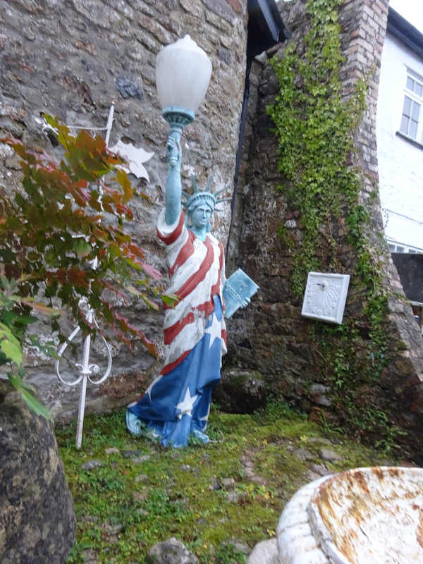
Interesting lawn art
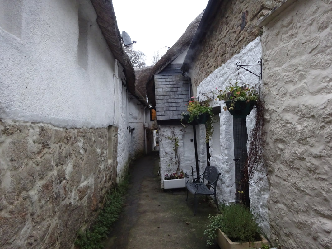
Cute alleyway
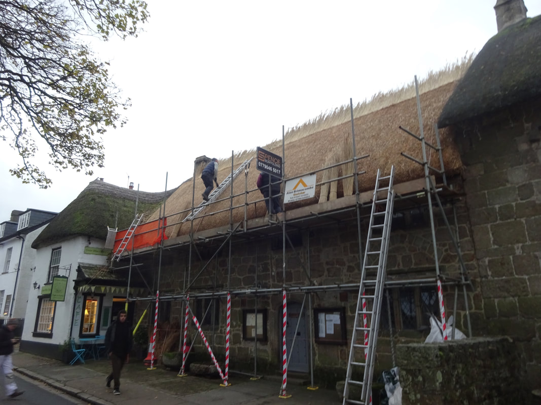
We must have stood here for 10 minutes watching them replace the thatch roof on this building. It was very interesting to watch them work.
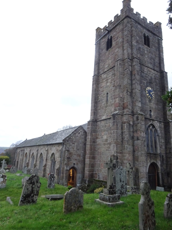
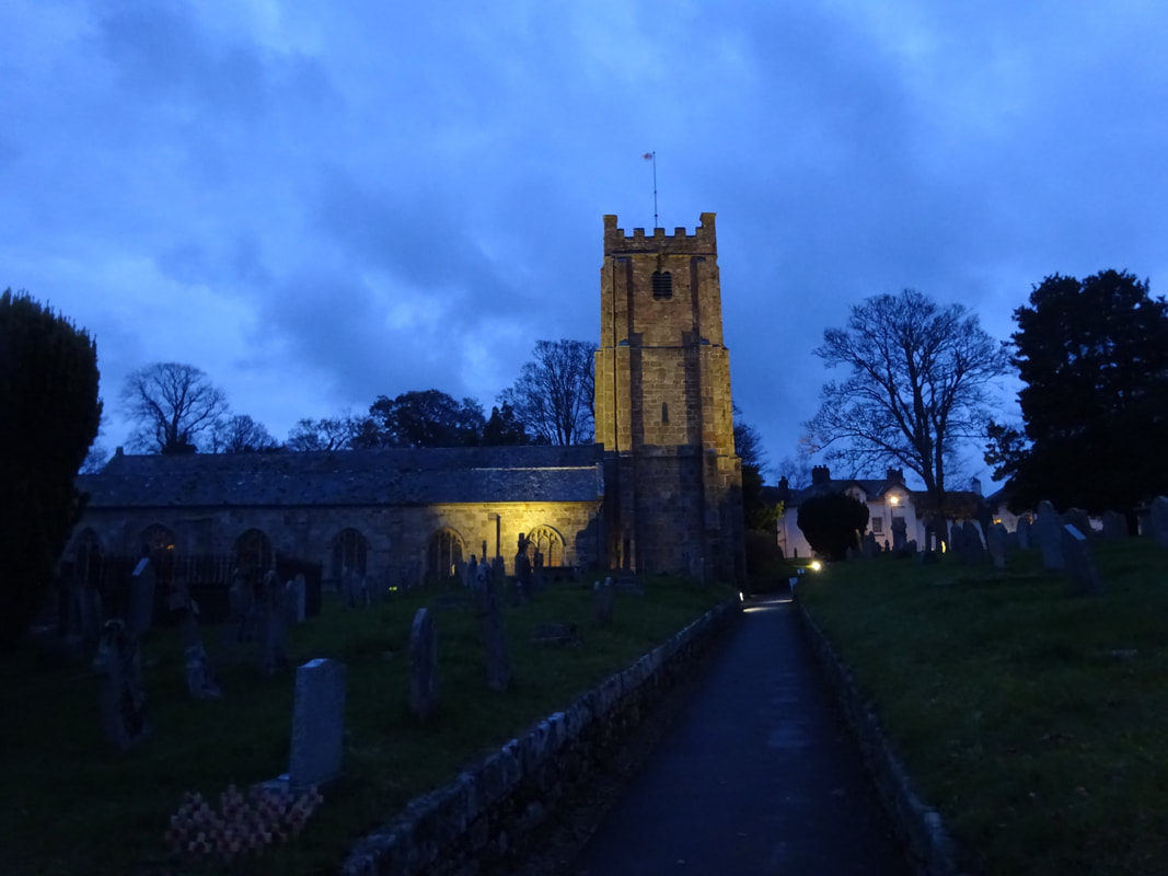
Here is St. Michael the Archangel's Church built in the 1400's.
 | 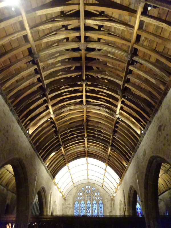 |
We exited the church at 4:45 PM and just like that, it is dark.
We returned to the AirBnB, had bread, cheese, and jam in front of the fireplace. Tomorrow we head to Penzance, a 5.5 hour drive, so we want to get an early start.
 RSS Feed
