Large campsite, 200 feet south of trail, toward Palisade to Campsite at Mile 840.60
Happy Independence Day!
After a hard downhill hike yesterday I was able to sleep very well. I woke just after 6:00 AM and quickly got my stuff together. Today we hike up and over Muir Pass which consists of a 11.12 mile climb that gains 4,146 feet. We are now 14.5 miles from the pass, plus we then have 2 more miles to get to our planned campsite for the night. At this point this plan seems really hard to accomplish, but we will give it our best shot.
We all quickly ate breakfast and were ready to go just after 7:30 AM.
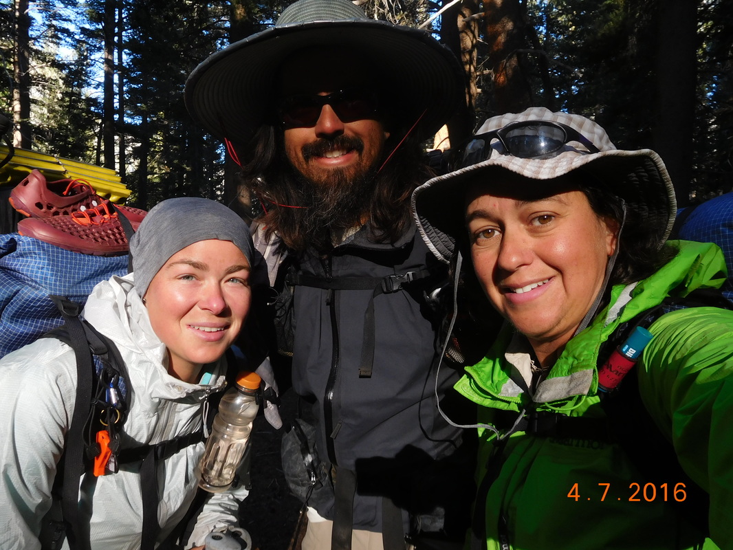
Ready for a long day of hiking.
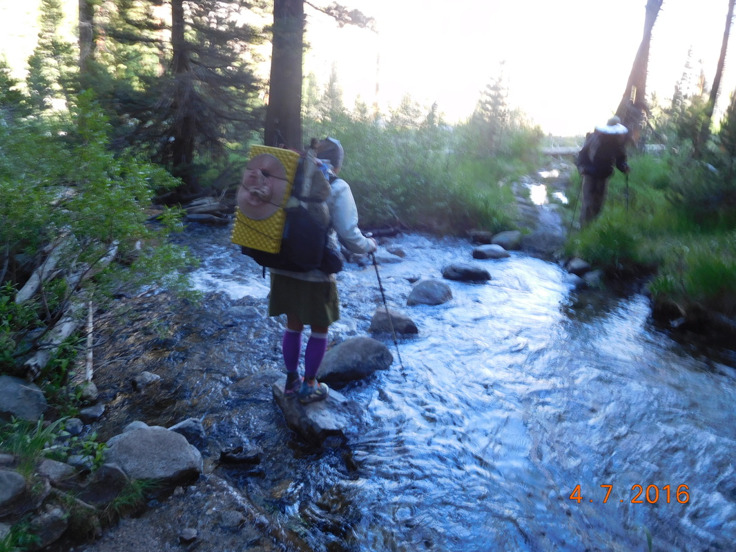
The day started out like an obstacle course with multiple river crossings and climbing over trees blocking the trail. Here is a picture of the most perfect rock setup we have seen for a river crossing:
Perfect skipping rocks.
After 3.25 miles of downhill hiking we arrived at a trail junction that we know marked the bottom of the down and the start of the long 11.12 mile climb up Muir Pass. Here is where we met up with Thunder Pass and Mountain Home. Thunder Pass is the guy that passes us as we waited out the thunder storm 0.25 miles from the top of Forester Pass...thus the name. Mountain House bought a years supply of Mountain dehydrated meals...this his name. They both decided to tag along with us for a little bit. It was now 9:30 AM.
When we got to the first river crossing and took "too long," Thunder Pass decided to go ahead. After another 3.5 miles we arrived at a steel bridge crossing a creek. It looked like a great place to do some laundry and put out feet in the cold water. Thunder Pass was here already doing the exact same thing.
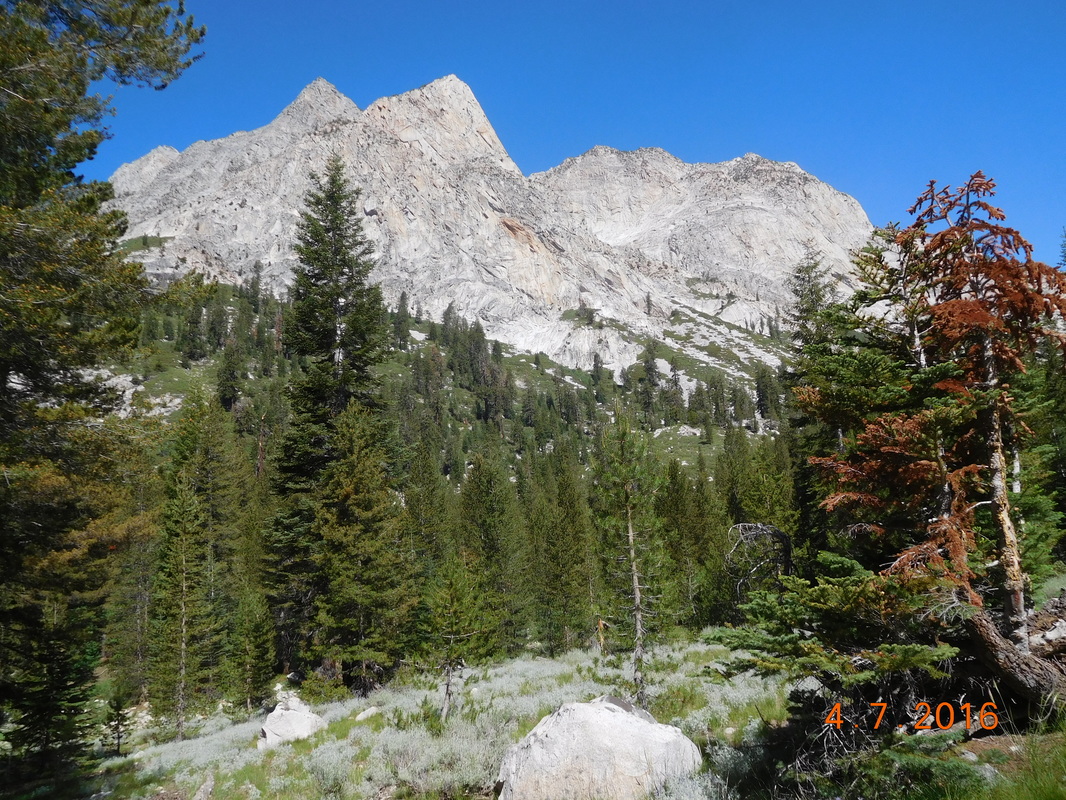
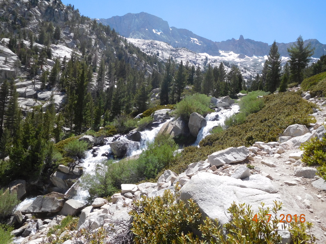
After about 1 hour we all knew it was time to continue heading up towards the pass. Check out this valley we are climbing up:
When we got to the first river crossing and took "too long," Thunder Pass decided to go ahead. After another 3.5 miles we arrived at a steel bridge crossing a creek. It looked like a great place to do some laundry and put out feet in the cold water. Thunder Pass was here already doing the exact same thing.
After about 1 hour we all knew it was time to continue heading up towards the pass. Check out this valley we are climbing up:
Amazing.
Sometime around 1:00 PM we stopped for lunch and hung there till 2:15 PM. In hindsight we probably should have cut lunch a bit short.
After lunch we continued up to Muir Pass. While hiking I noticed this rock some adorned with teeth:
After lunch we continued up to Muir Pass. While hiking I noticed this rock some adorned with teeth:
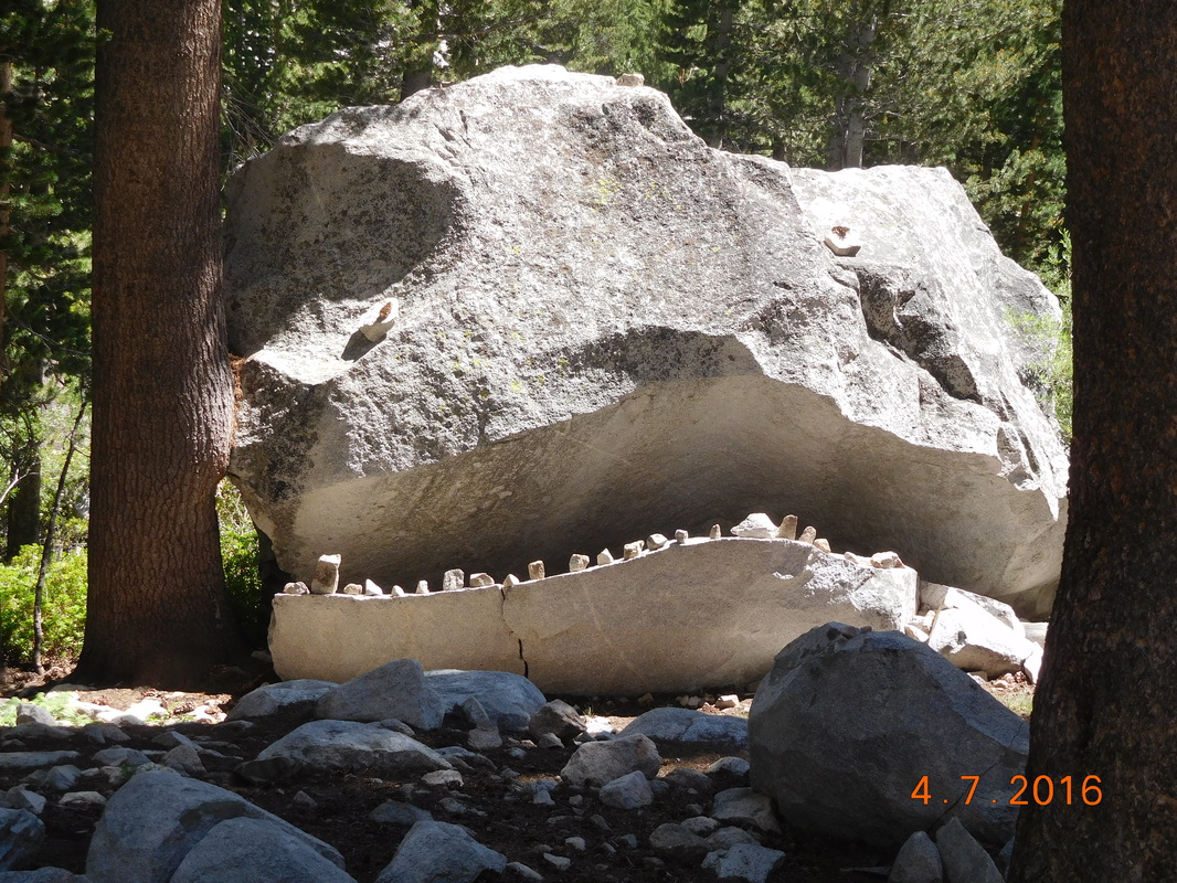
Crazy monster rock.
The trail followed a river and the climbing got pretty steep as it passed by multiple waterfalls:
Steep trail near waterfall.
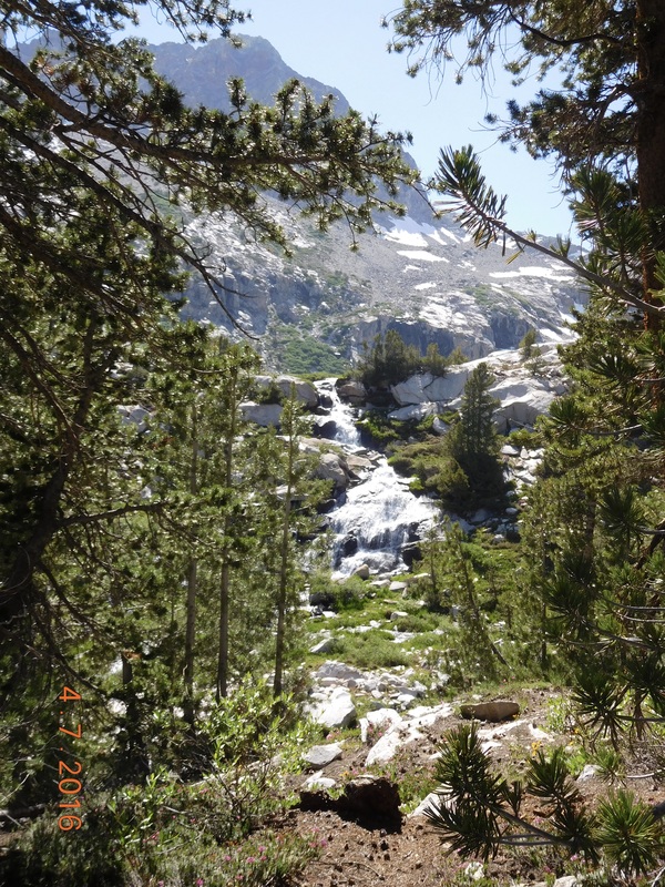
Another waterfall along the trail.
As we go closer to the pass more snow appeared and there were more streams and rivers and lakes formed by the snowmelt.
At this point we all managed to keep our shoes dry, but then Share Bear attempted this leap the Brad succeeded in doing:
At this point we all managed to keep our shoes dry, but then Share Bear attempted this leap the Brad succeeded in doing:
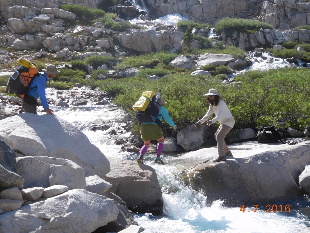
Share Bear leaps as Brad catches and Mountain House watches.
Share Bear made it, but barely. I decided to find a different route around and wound up jumping rocks halfway across and then ran out. At this point I just went all in and walked through the water shoes and all.
Not to worry...I wasn't alone with wet shoes for long. Soon after the others has no option but to jump in as well:
Not to worry...I wasn't alone with wet shoes for long. Soon after the others has no option but to jump in as well:
Everybody's shoes are now wet.
A bit higher and the snow fields appeared. Now our feet were wet and cold, not a good combination, but we were working hard and keeping warm.
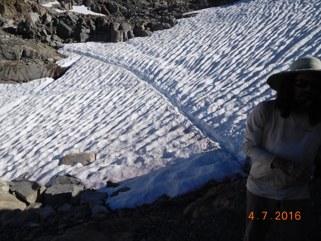
Brad putting in microspikes to cross snowfield.
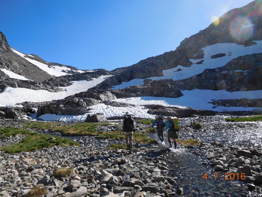
With all the water and snow the trail was nowhere to be found, so we bushwhacked our way towards the pass although we didn't know where the pass was. We just knew it was somewhere up there:
We need to get up there somewhere.
We studied the mountain abs noticed snowfields that have footprints along them. That must be the way to go. So we made our way from snowfield to snowfield.
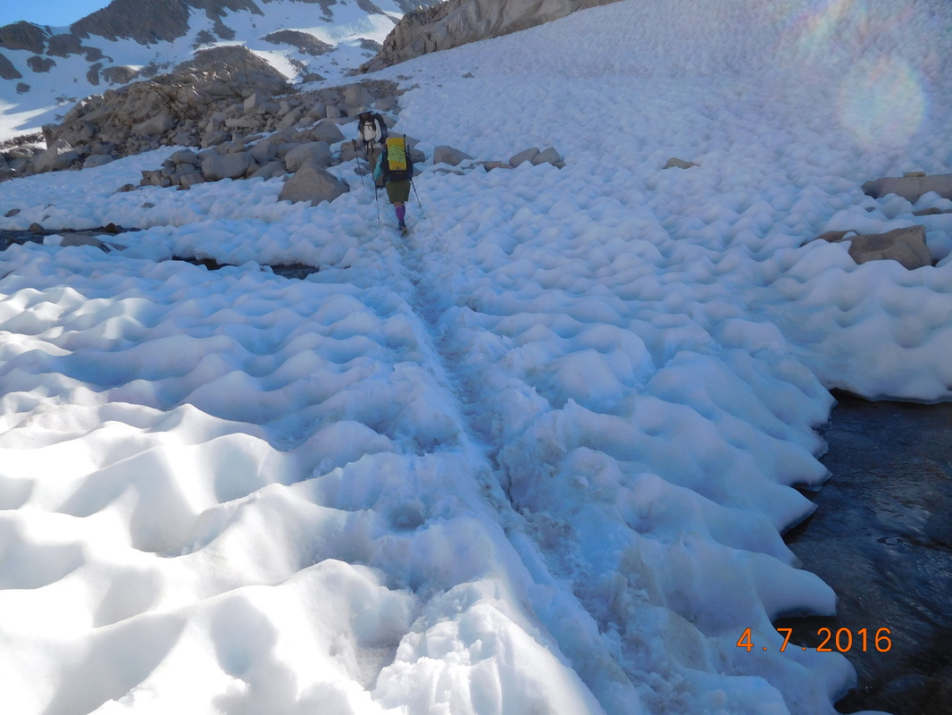
Another snow crossing.
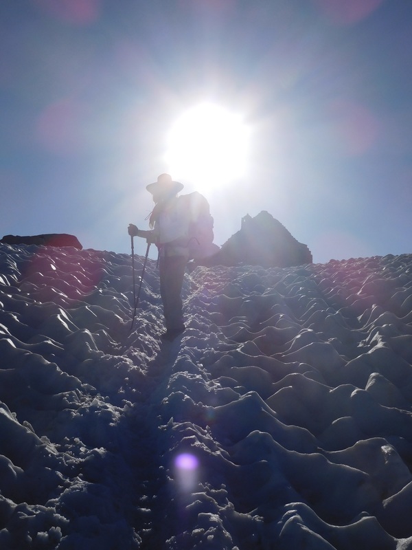
Finally we saw footprints heading straight up to pass, so up we went.
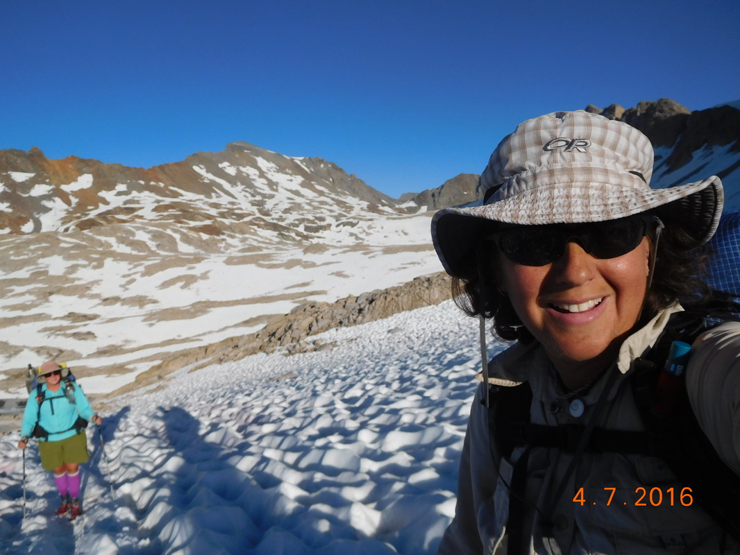
Self-portrait "Heading up to Muir Pass"
We then saw the silhouette of the stone hut on top of the pass:
Brad coming up to stone hut.
We made it I the top just before 7:00 PM, 9.5 hours after starting the climb this morning.
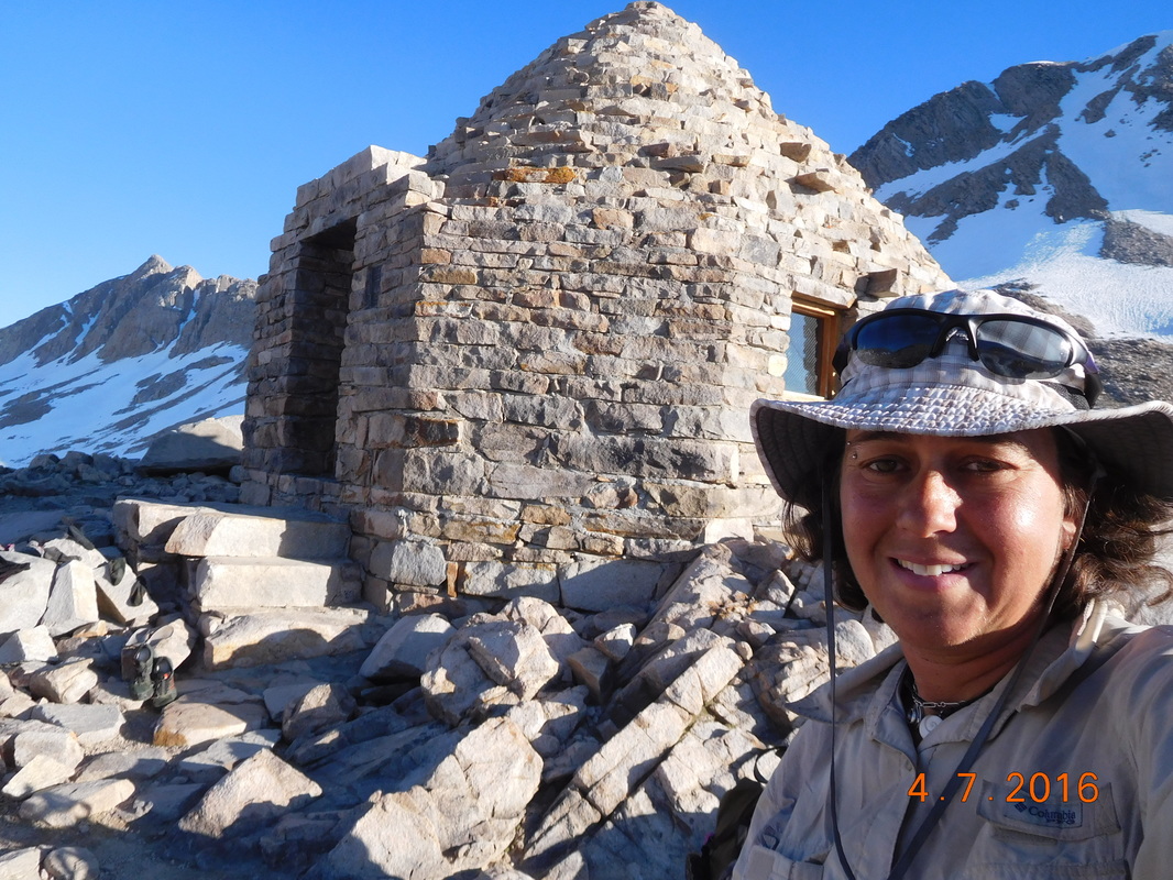
Self-portrait "Muir Pass Stone Hut"
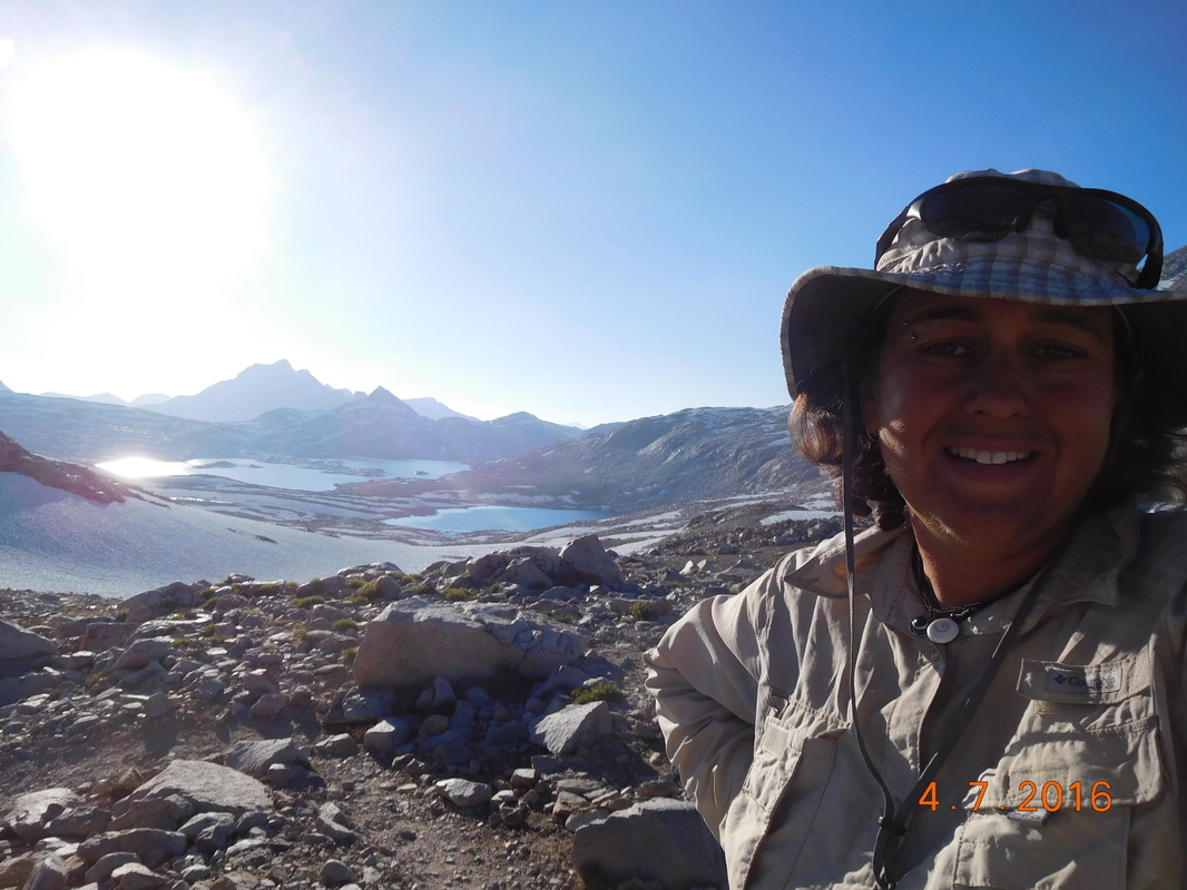
Self-portrait "Looking out from Muir Pass"

We made it to Muir Pass, 11,974 feet.
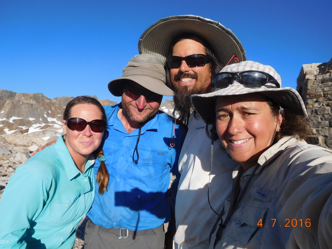
Share Bear, Mountain House, Brad, & I on top of Muir Pass
Our celebration had to be cut short since we now still had 2 miles to the closest tentsites and sunset is about 1.5 hours away. As we departed the pass so did many others with the same thoughts in their head.
The way down wasn't easy either. The trail again was covered with snow or water, so we had to feel our way down through snowfields and boulder fields which was not very easy, especially with wet, cold feet.
The way down wasn't easy either. The trail again was covered with snow or water, so we had to feel our way down through snowfields and boulder fields which was not very easy, especially with wet, cold feet.
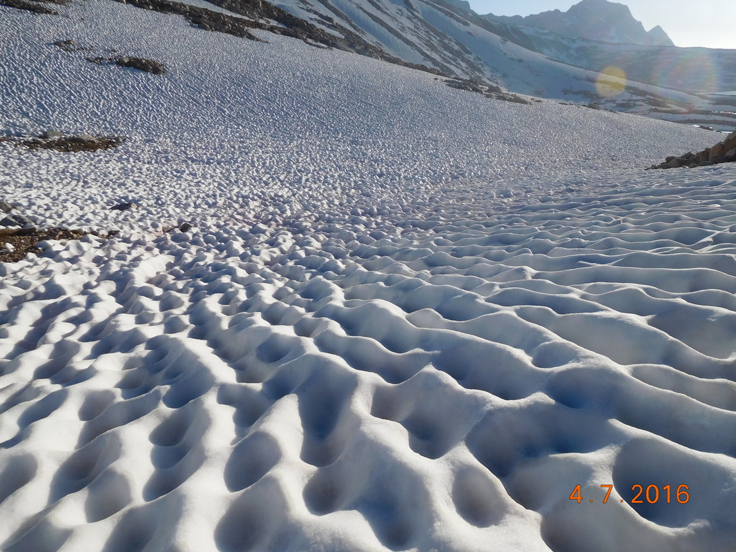
Sun cups in snowfield.
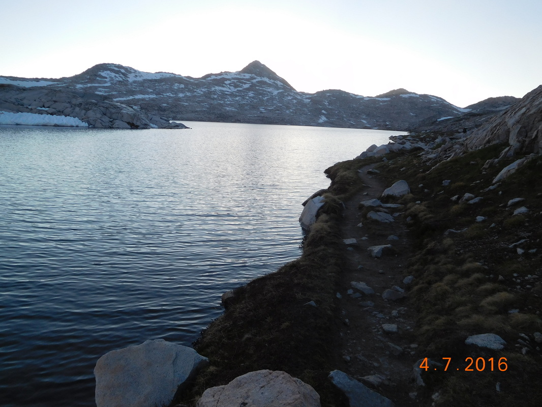
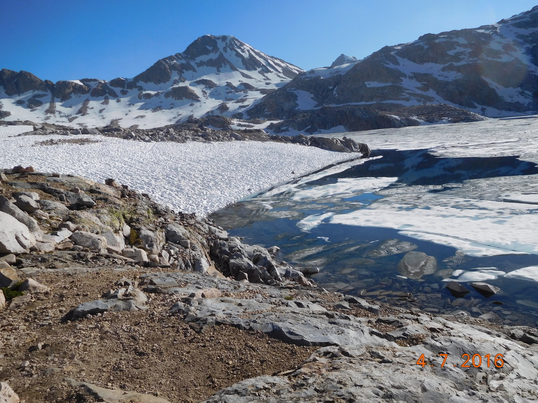
Lake McDermand
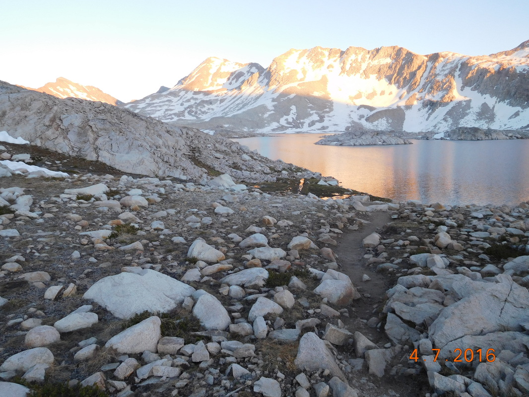
Wanda Lake.
As we descended we saw other hikers stop at the first flat spot and pitch their tent. We were all quite nervous that where we wanted to camp would be full.
We arrived close to the planned stop and there were a few sites that would work, but wasn't the best. We decided to continue on in hopes that the sites will still be available. As we hiked down, another hiker was headed up. Him and his wife camped by us a few nights ago. He wanted to make sure that we didn't settle for the sites we just passed because there are sites up ahead where him and his wife stopped. You have to love the awesome people on the PCT!
So, at 8:20 PM, about 20 minutes before sunset, we arrived at our campsite.
I set up my tent and couldn't wait to get in it and take my wet shoes and socks off. Instead of cooking dinner, I ate tomorrow's lunch of tuna on a tortilla since it was quick and easy. I got in my tent, peeled off my shoes and socks, dried out my feet, and jumped in my sleeping bag. We are at 11,435 feet so I know it will be a cold night.
I was so cold and tired that I only got partway through this blog entry. I am sitting here at lunch the next day finishing it up. So, as said a few days ago in a similar situation...until tonight.
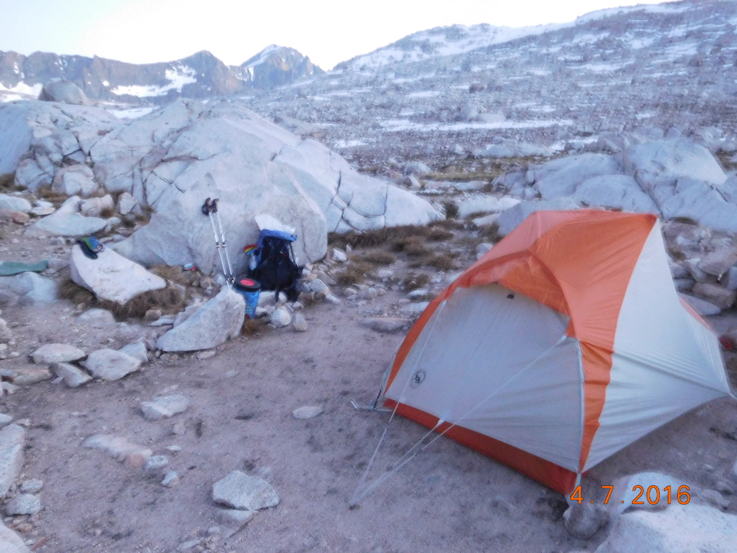
Amazing alpine campsite.
 RSS Feed
