Lake Marjorie to Large campsite, 200 feet south of trail, toward Palisade Creek
The temperature last night was perfect for sleeping. It was a bit chilly, but not too cold. I woke around 5:30 AM and was happy that I had 30 more minutes to sleep. I was then awoken by Share Bear at 6:00 AM which is rare since I usually wake up in my own. It was still cold enough in the morning that I didn't want to leave the sleeping bag, but as usual, nature calls and motivates me to get going.
After breaking camp, eating breakfast, and collecting and filtering water, we were ready to hike at 7:40 AM.
After breaking camp, eating breakfast, and collecting and filtering water, we were ready to hike at 7:40 AM.
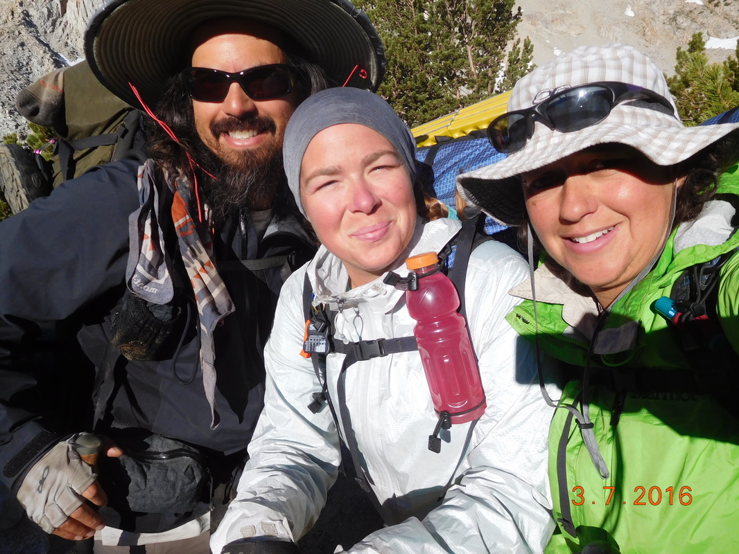
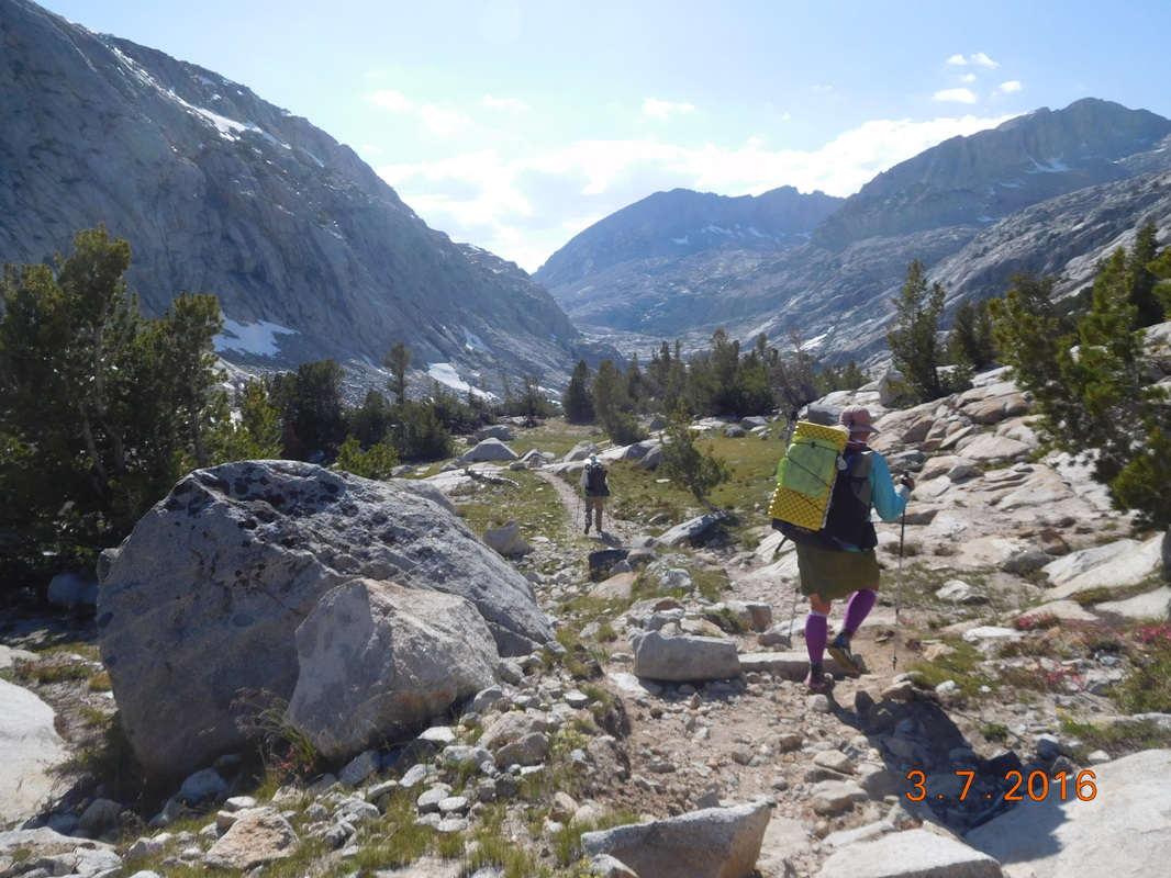
Ready to go.
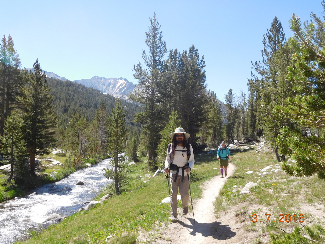
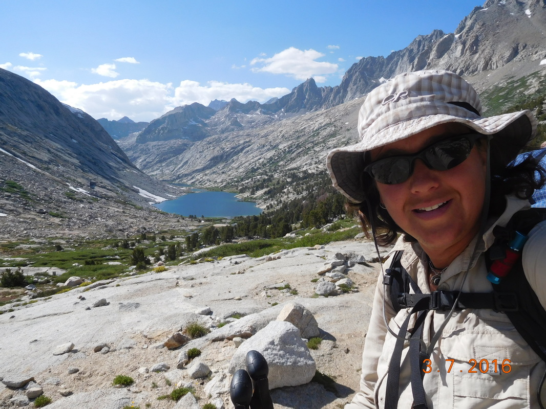
We walked up the hill from the campsite and got back on the trail. From there we had a great view of the lake we spent the night on:
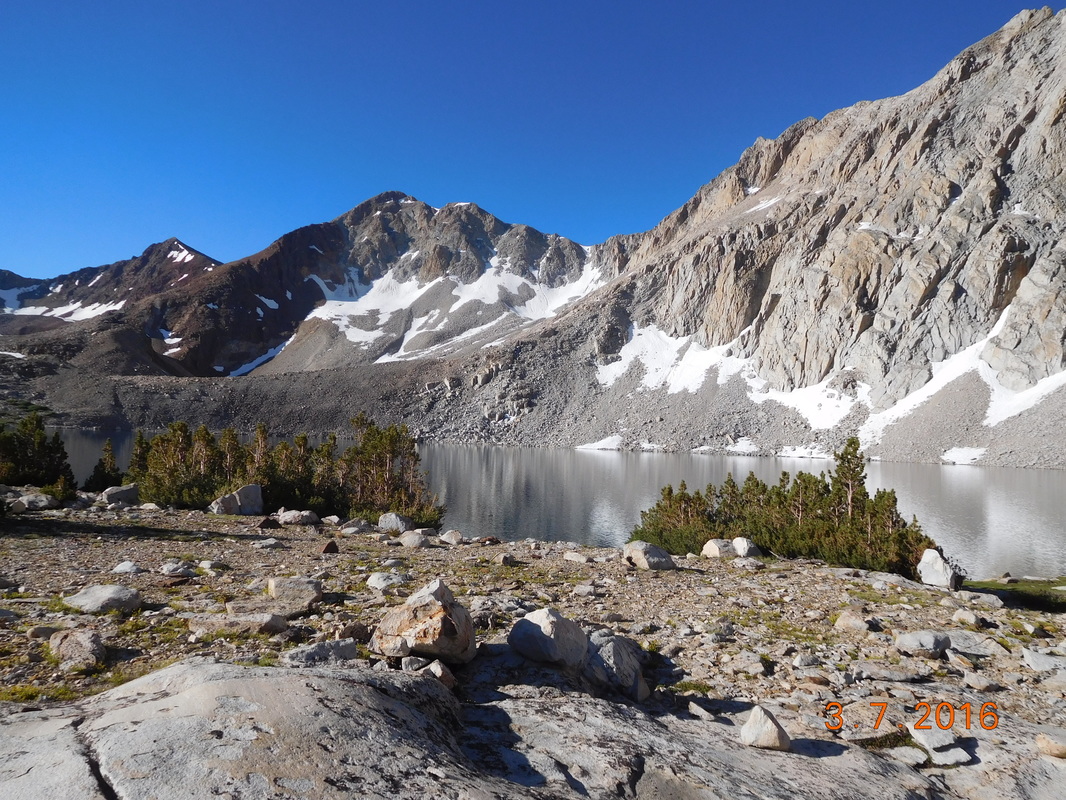
Lake Marjorie
A half-hour later we entered a meadow abs spotted a marmot warming itself on a rock.
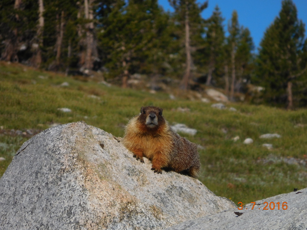
Cute Marmot getting warm
This morning we cross what in supposed to be one of the worst rivers to cross. We expected to get pretty wet, but when we got to the river we noticed a log just up from the trail. It wasn't the easiest log crossings, but we all managed to get across unscathed.
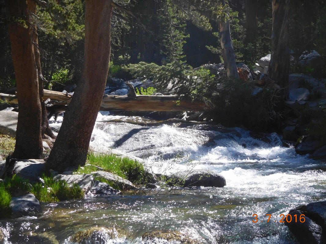
Not too bad of a river crossing.
With that out of the way, we began the 5.5 mile climb up to Mather Pass. From the maps and notes we have, this pass isn't going to be as bad going up as Pinchot Pass we did yesterday. First off, the climb is 2 miles shorter, and we climb just over 2,000 feet instead of yesterday's climb of over 3,700 feet.
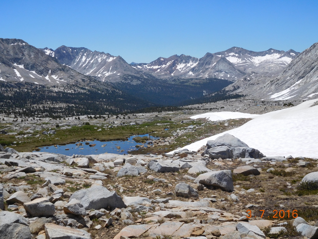
It wound up that the climb up wasn't too bad nor was the scenery around us.
It wound up that the climb up wasn't too bad nor was the scenery around us.
Brad and Share Bear climbing towards Mather Pass
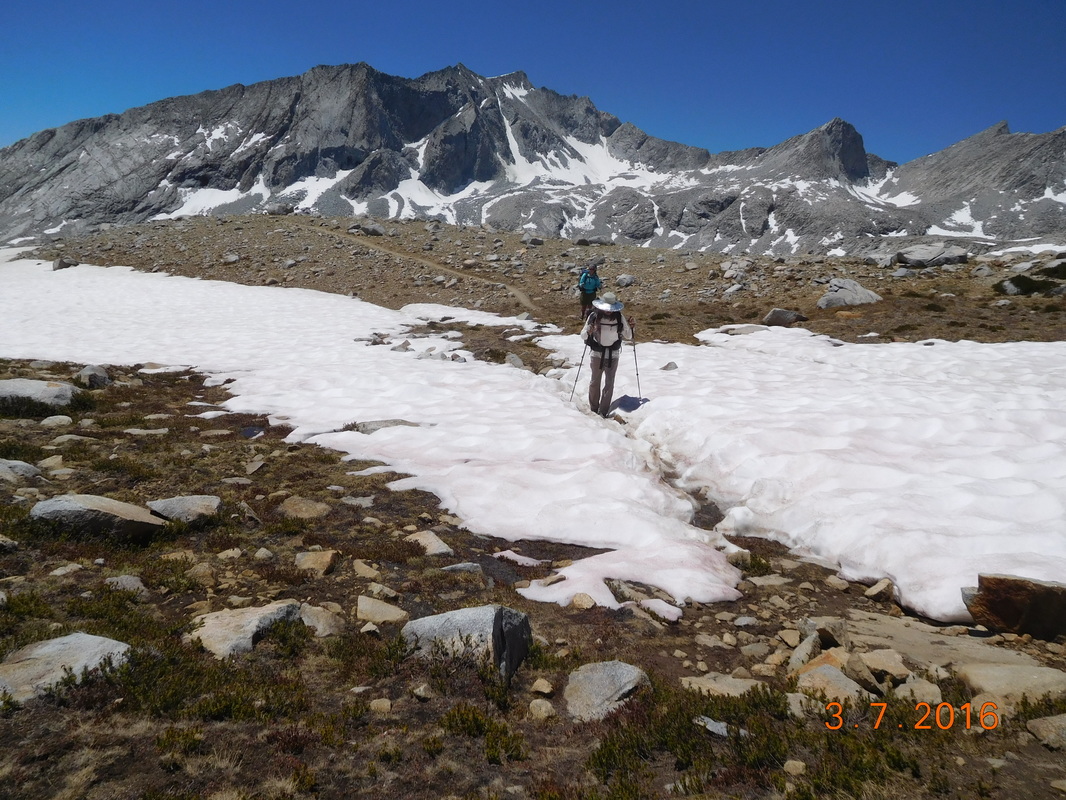
Brad negotiating a snow field
The weirdest part of this pass is that we hiked towards mountains, but had no idea which way the trail was taking us and which pass we were going to hike up.
Where are we going over?
We headed straight towards the mountains and then made a hard left up a switchback. Ahh...we get it now...wait...what...we are going up there? The switchbacks looked pretty steep from where we looked up, but it was only about 1 mile left, so I pushed it. I made it to the top just after 1:00 PM and Brad and Share Bear followed close behind.
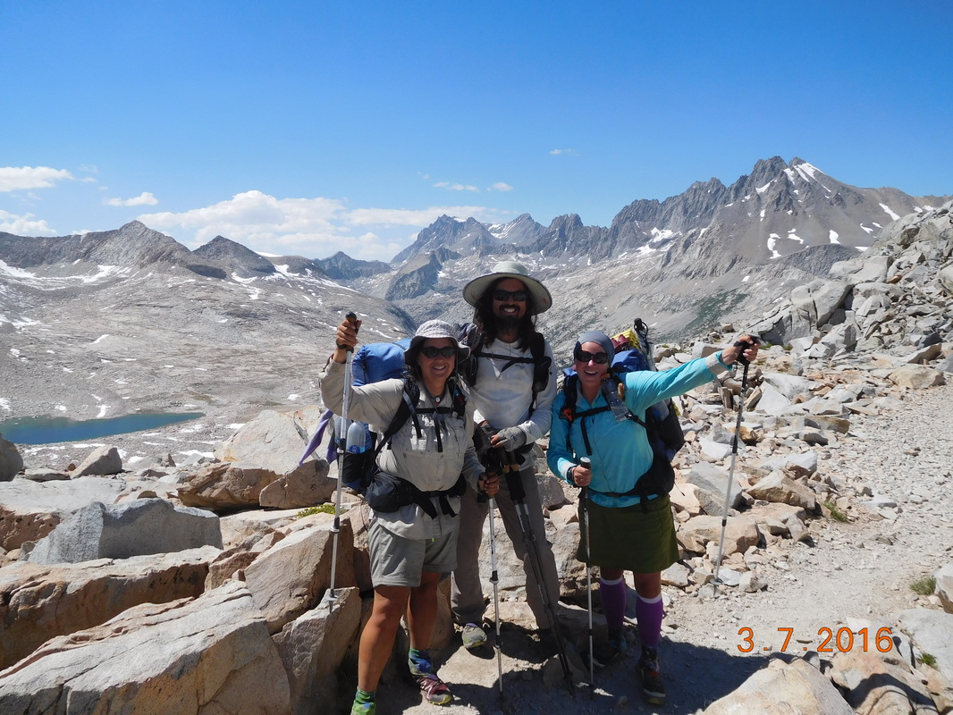
At the top of Mather Pass, 12,096 feet
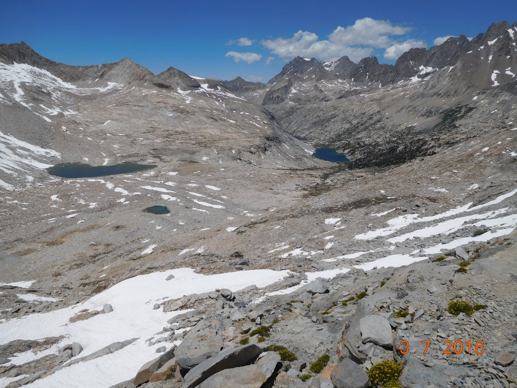
Mather Pass looking north.
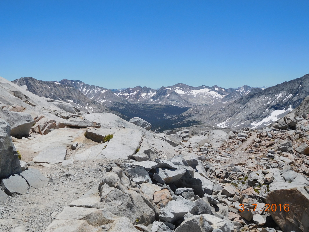
Mather Pass looking south.
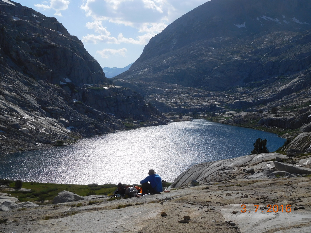
We haven't eaten lunch yet, so we made ourselves at home on top of the pass. Even though we were over 12,000 feet, the wind was calm and the sun felt great.
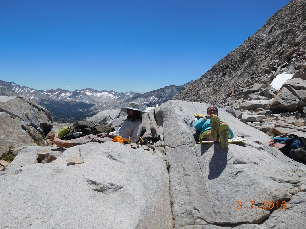
Taking a break on Mather Pass.
It was pretty fun hanging out up there watching people cross from both sides. We met a guy from Australia that is going south on the JMT. We met Sweet Virginia who is a PCT hiker, but flip-flopped and is currently going southbound. She flip-flopped when she made it to the top of Pinchot and looked over the other side and the snow scared her. So, she turned around and went back down. She decided to jump to mile 1500 and hike southbound from there. When we saw her she had only about 10 miles to go to get to the top of Pinchot Pass, where she turned around.
We wound up spending way too long on the top of that pass, and finally left there after 3:30 PM. We now had just over 7 miles to hike to get to our planned campsite for the night. Under normal conditions this wouldn't be too hard, but this is the Sierra Mountains, so it's not normal. In this 7 miles we had to descend 3,424 feet, meaning steep downhills, meaning probably averaging no more than 2 miles per hour, meaning we will be getting into camp late.
We started down, and just as expected it was really tough going. It was steep and rocky and bouldery, and parts had turned into a waterfall due to snowmelt, and parts were covered by ferns so you couldn't even see the trail, and parts were a very steep staircase. Wow...the trail through the Sierra is not easy, but it is so beautiful when you can look up from the trail and look around.
Hiking down Mather Pass
Share Bear & Brad hiking down the challenging trail.
Mountain House cooking dinner with a view.
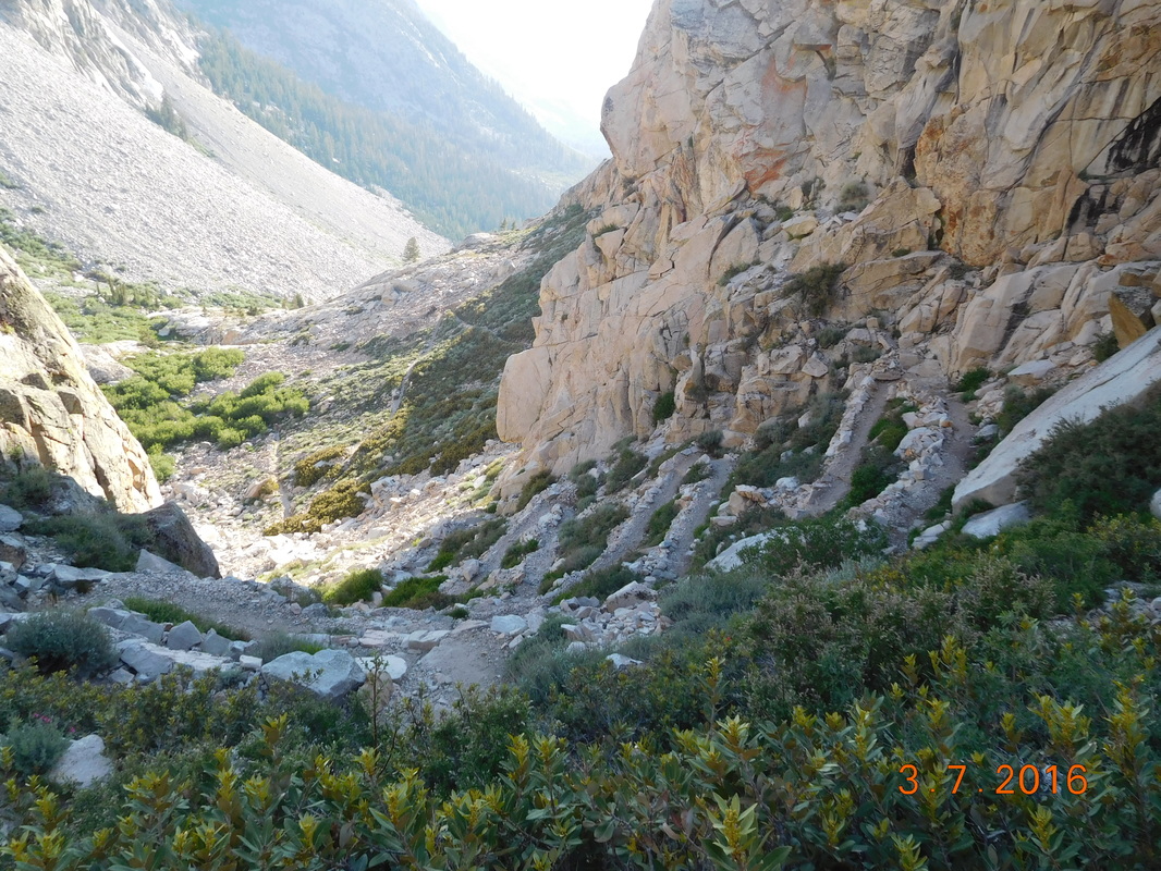
Looking down on the crazy switchbacks.
Finally, around 7:30 PM we made it to the campsite. We were tired and hungry so quickly pitched our tents and sat for dinner. As we wound down we realized that this campsite was awesome. It was right on a stream with large pine trees and nice flat tentsites. As we cooked dinner a deer wondered into our area not even caring that we were there. Today was difficult, but we don't want to be anywhere else.
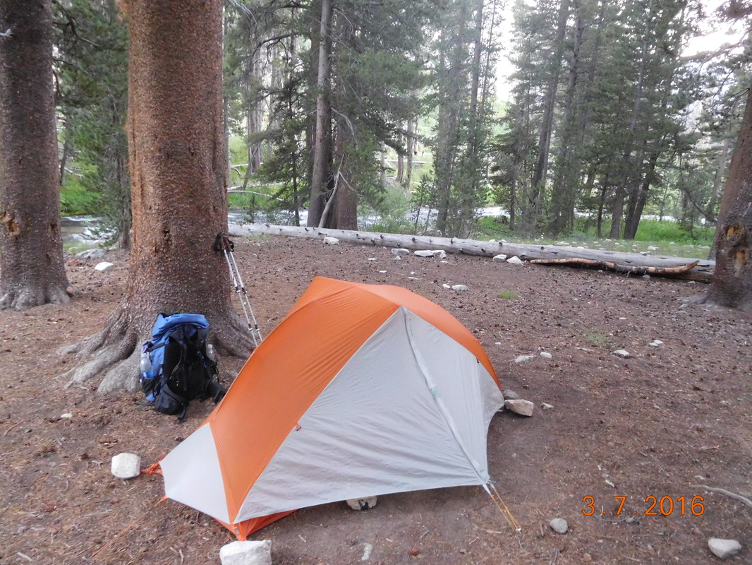
My home for the night.
 RSS Feed
