Campsite on Clarks Grade to Cougar Crest Trailhead
It was a cold and windy night. The wind seemed to pick up around 11:00 PM and continued through the night. I kept huddled in the tent and slept on and off all night waiting for morning. Finally I opened my eyes and there was sun coming into the tent. I looked out the rain flap and it seemed that most of the snow has melted. I finally left the tent at around 7:15 AM after being in it for 14 hours.
Here is the promised picture of my campsite from last night:
Here is the promised picture of my campsite from last night:
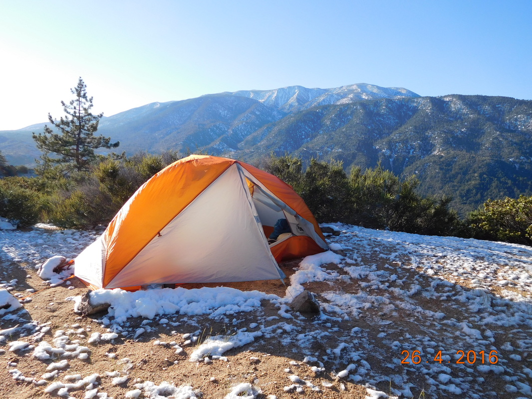
Wow...an awesome spot if it wasn't for the snow and wind and cold.
I took my time to break camp. I figured there was more snow at the higher altitude and I was waiting for it to melt some. I finally started hiking just before 9:00 AM.
Start of the last day of detour.
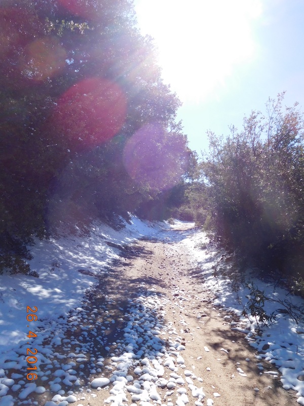
Somehow I managed to hike 13 miles yesterday, leaving 14 miles for today. The 14 miles shouldn't be too bad since once I get to the top of Clarks Grade, it should be downhill from there. So, I have only 5 miles left of up and the road I hiking up looks beautiful today:
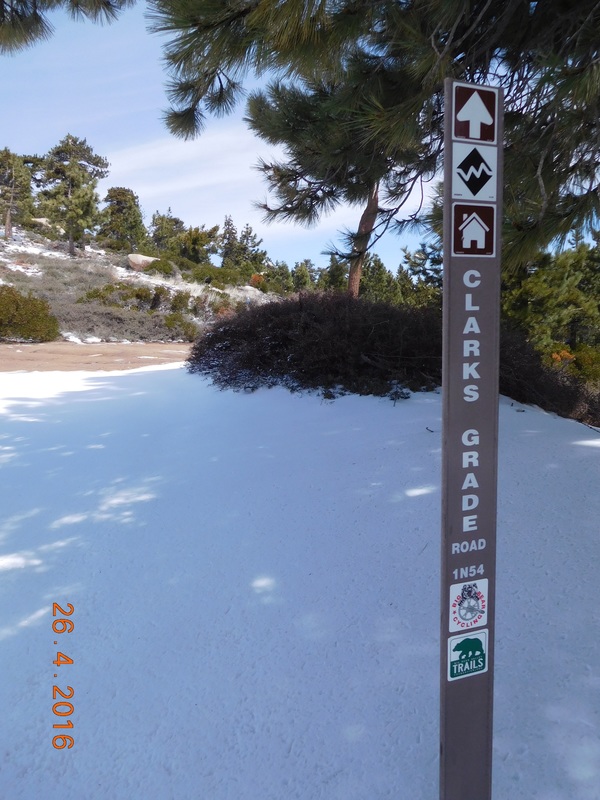
Beautiful Clarks Grade
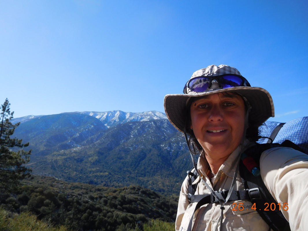
Yesterday climbing felt pretty good. Today it is kicking my butt. So, I took a lot of breaks and many pictures.
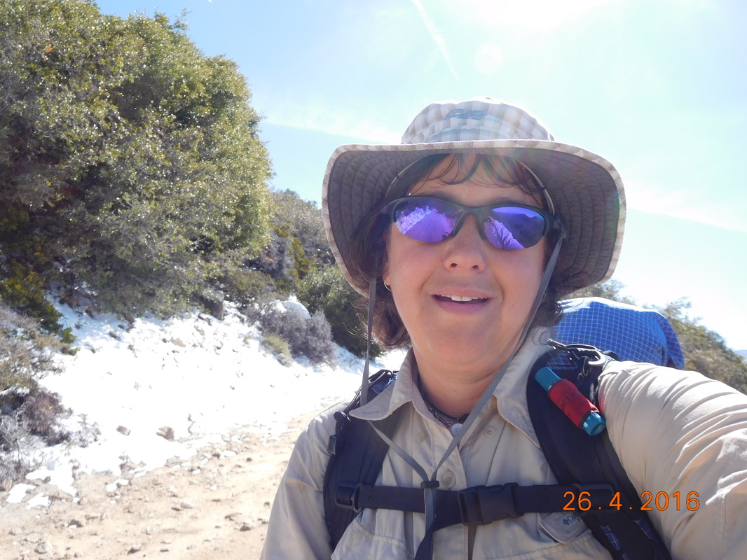
Self-portrait "One of many rest stops"
Clarks Grade
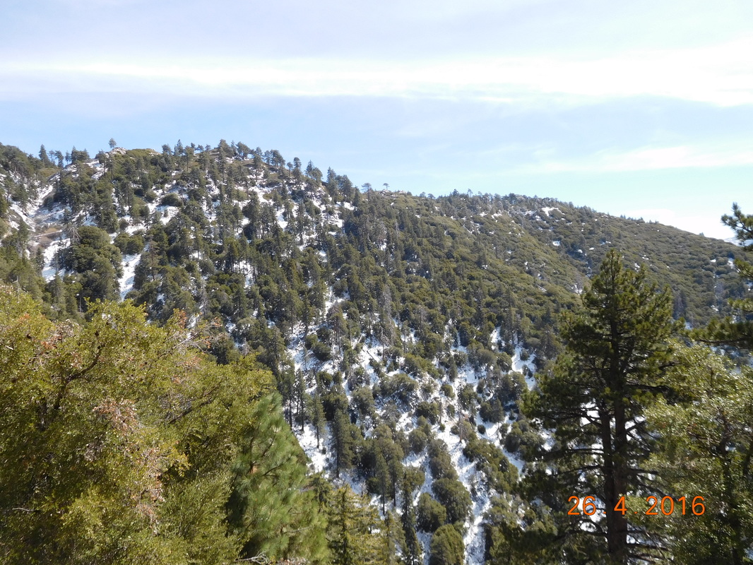
View from Clarks Grade
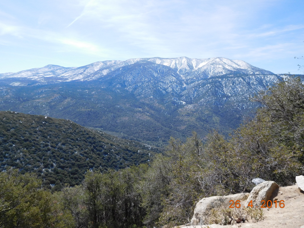
Majestic views.
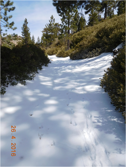
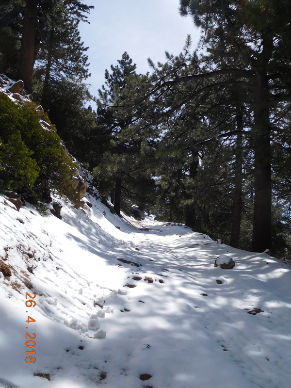
Snow covered trail.
Finally, after 2.5 hours of hiking, I made it to the top of Clarks Grade at an altitude of 7,816 feet. No wonder the hike was kicking my butt. This is high....almost 1.5 miles high. OK...I feel better now about my performance.
The top of Clarks Grade.
Next turn is onto Skyline Road.
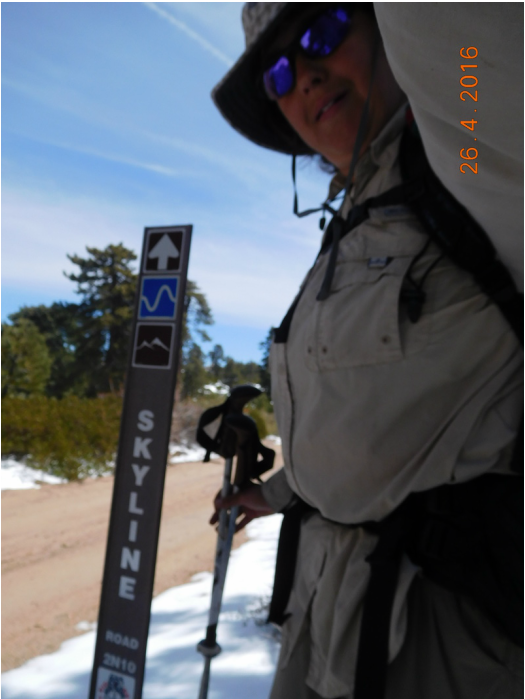
Finally off Clarks Grade.
I figured it was all going to be down from here, but I was wrong. Skyline Road is a meandering up and down road that fluctuates between 7,500 and 8,000 feet.
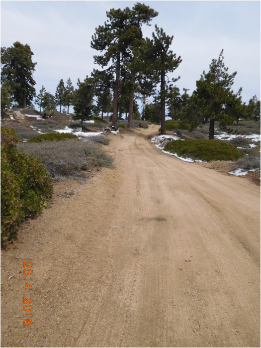
Skyline Road.
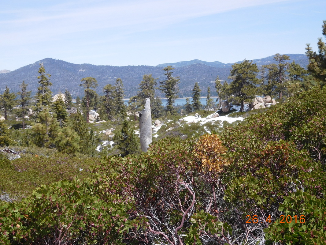
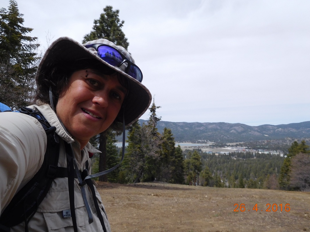
A little ways up Skyline Road I finally got my first glimpse of Big Bear Lake.
Almost there!
But first, a bite to eat. How about tuna salad on a bagel...yum.
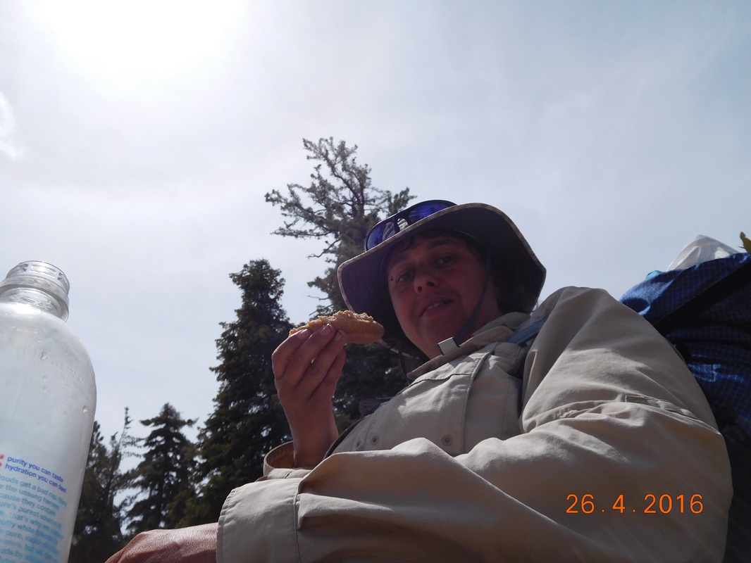
Taking a lunch break on Skyline Road.
After 4 miles, Google map told me to make a left turn onto an unnamed forest road. I crossed a gate stating that vehicles are prohibited and hikers are allowed, but must stay on the trail. I took the trail about 100 yards and then glimpsed this:
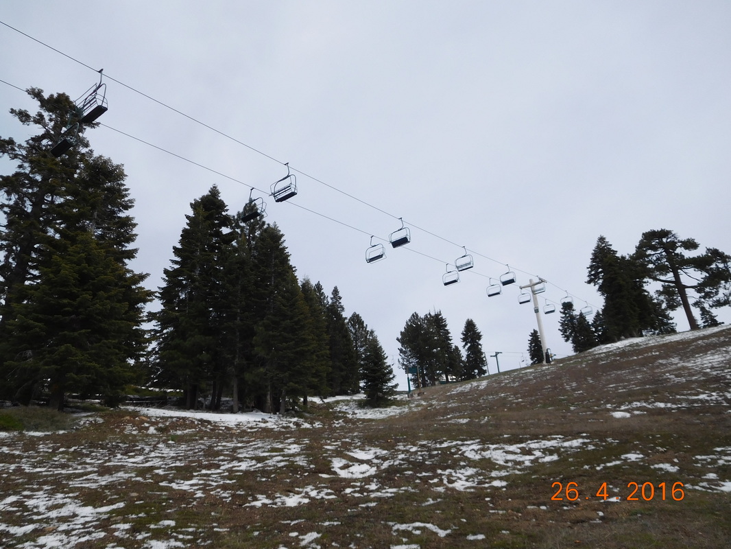
What the?!?
I wound up close to the summit of Snow Summit Mountain Resort which is 8,200 feet. I guess the only thing left now is to hike down to Big Bear below.
Looking down at Big Bear Lake from Snow Summit.
It wasn't an easy hike down the approximate 1 mile I had to hike. Give me a set of skis and I would have tore this mountain apart, but on foot, it is pretty difficult to walk down the slopes. Especially since the snow recently melted and there was plenty of mud. But, I made it and at 2:45 PM I was finally in Big Bear Lake.
The bottom of the mountain and into Big Bear.
Now, all I had left is the 3.8 mile walk through the streets of Big Bear Lake to the Cougar Crest Trailhead. This trail will lead me back onto the Pacific Crest Trail. To get there I walked by Big Bear Lake:
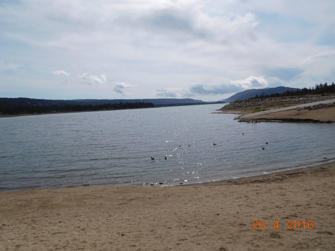
Big Bear Lake.
And then finally, just after 4:00 PM I made it to Cougar Crest Trailhead. Tomorrow I take a zero day in Big Bear Lake and then start right back here on Thursday morning to finally get back on the PCT.
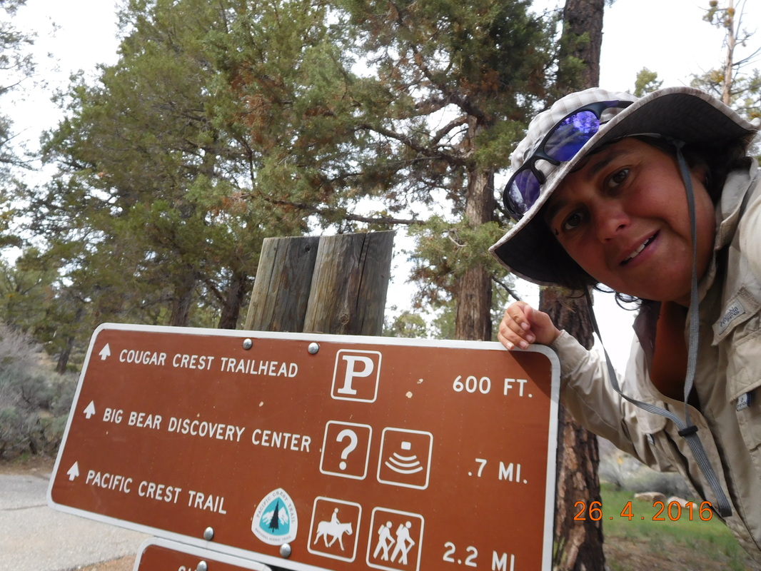
I will see you back here on Thursday.
But first, a visit to Big Bear Lake Brewery. Two years ago when we attempted this hike we were in Big Bear Lake walking around and just happened upon the grand opening of this brewery. Today we sit here an drink the Second Anniversary Double IPA...YUMMY!
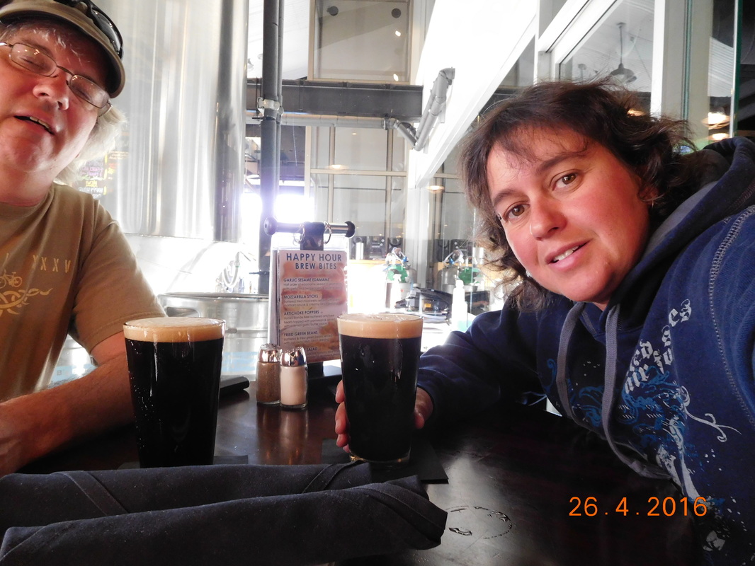
I earned this beer!
Tim got to Big Bear Lake a night before me and found an awesome deal on this cabin. This will be a great place to relax.

Embers Lodge and Cabins.
What better way to end a 60 mile detour than a nice, hot fire.
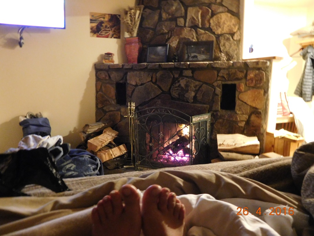
Ahhhhhhhh
 RSS Feed
