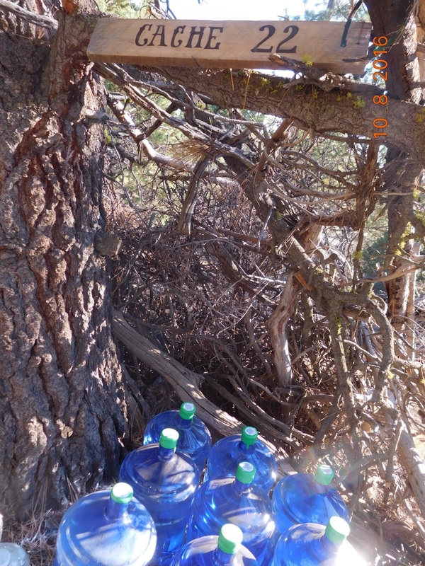
Cache 22 to Paved Highway 89 (Staying in Burney, CA)
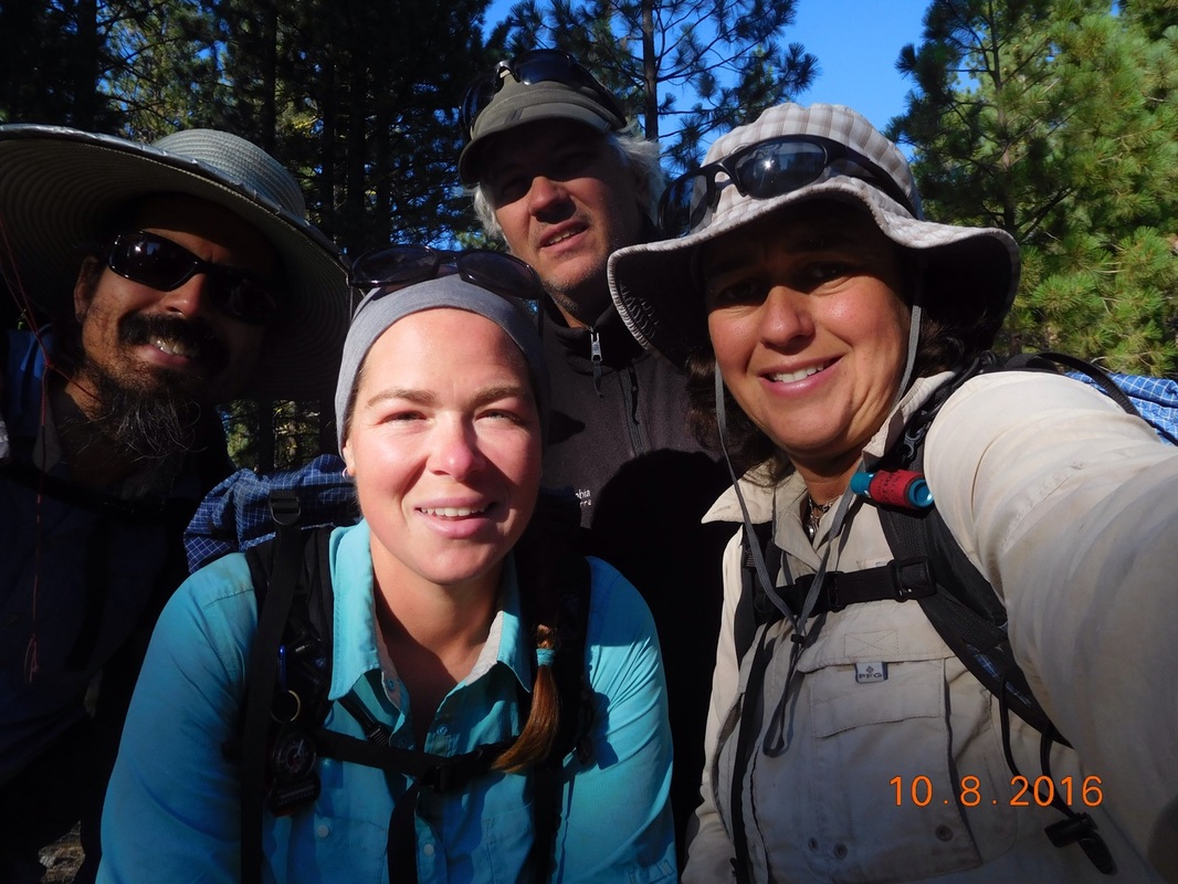
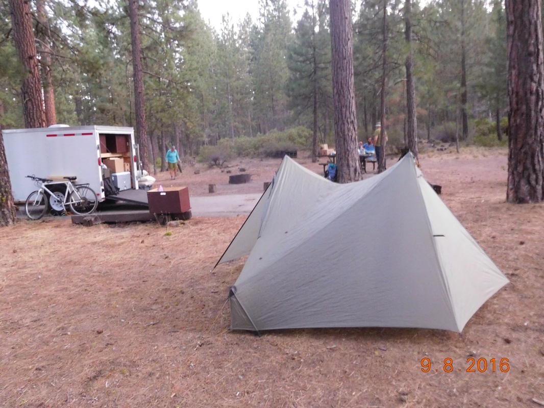
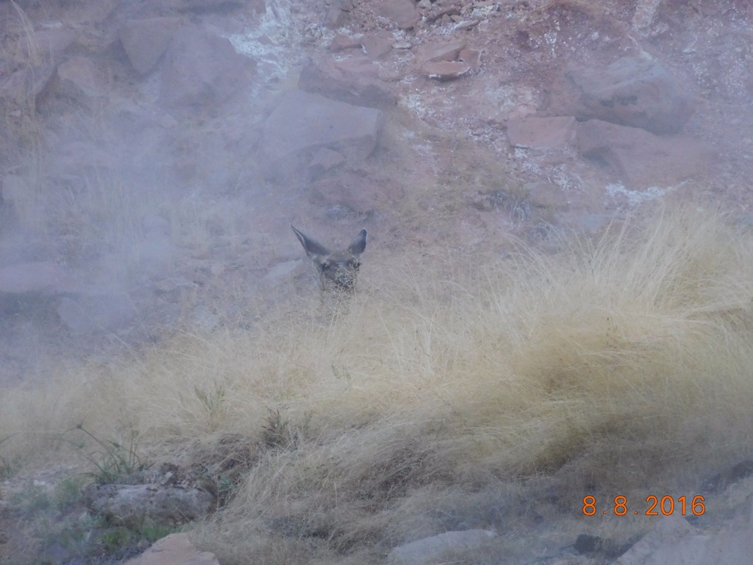
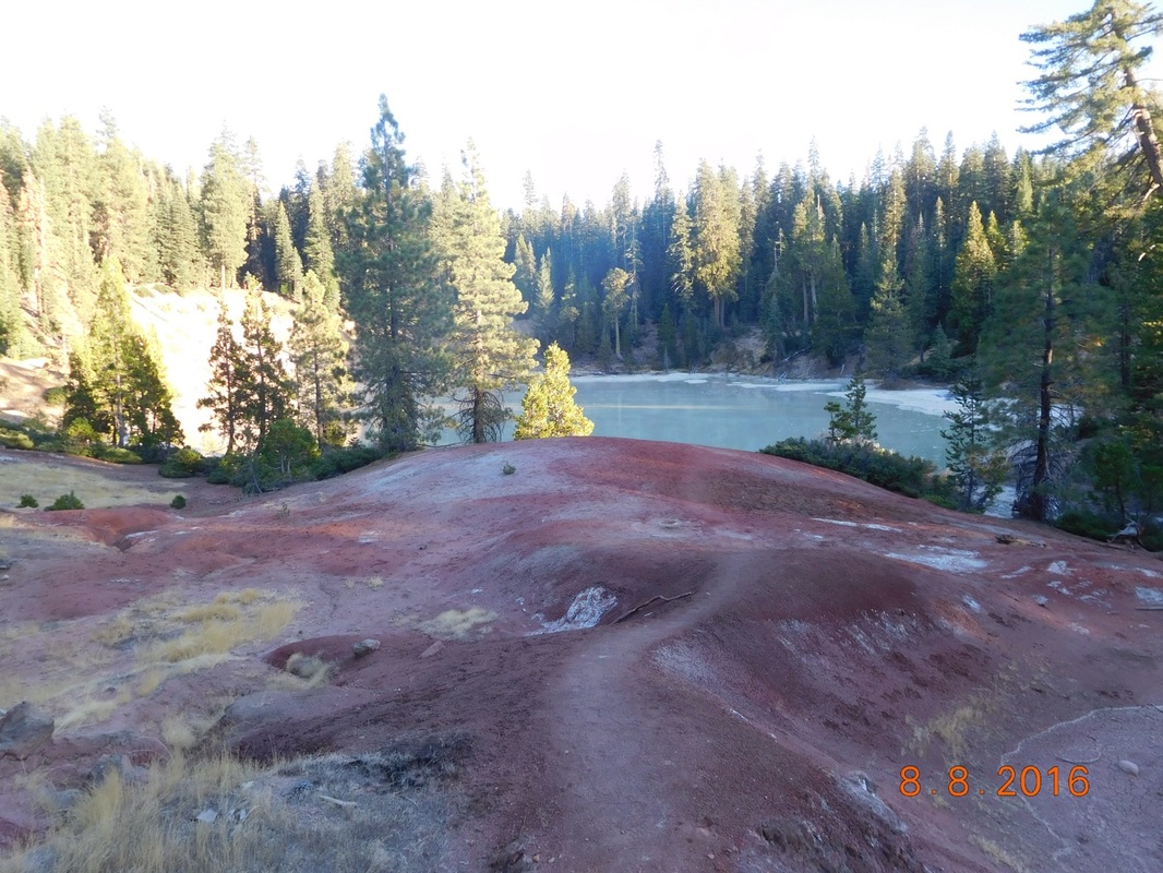
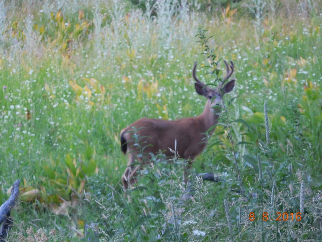
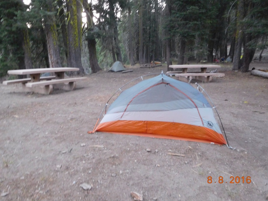
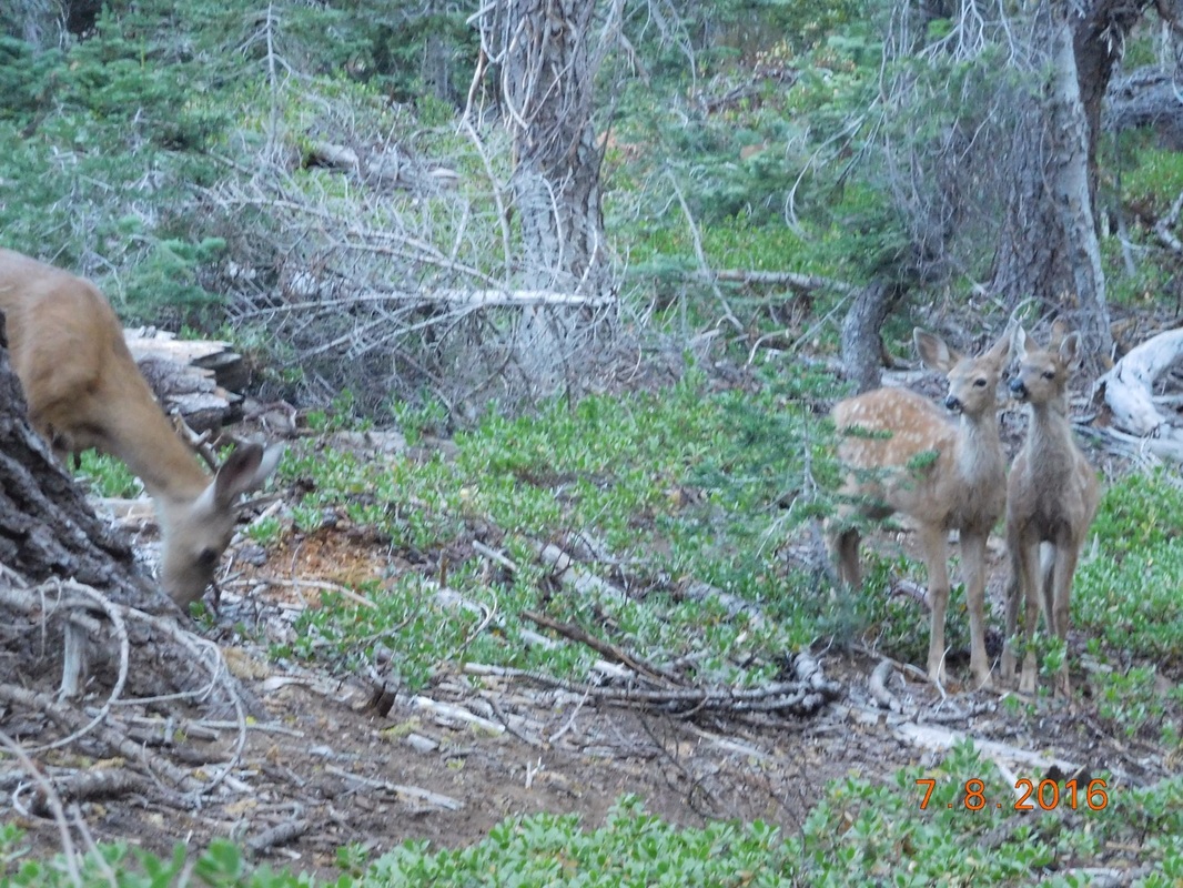
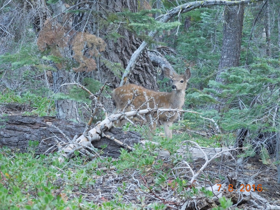
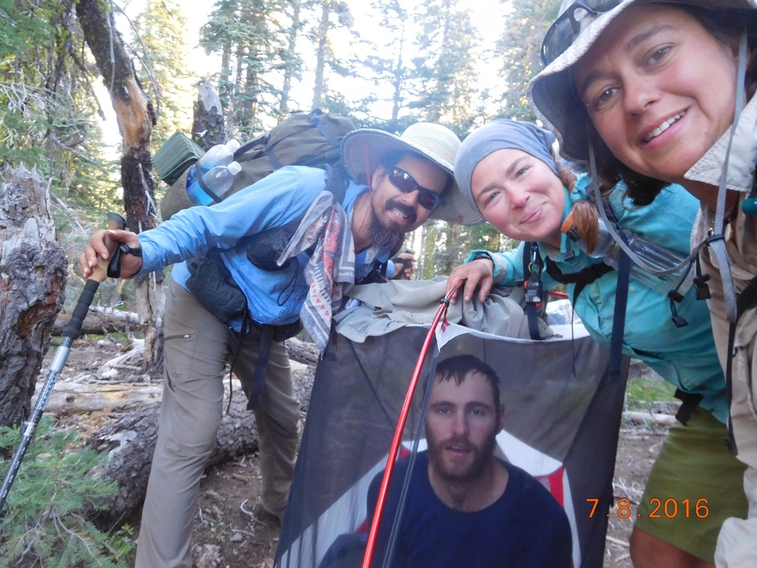
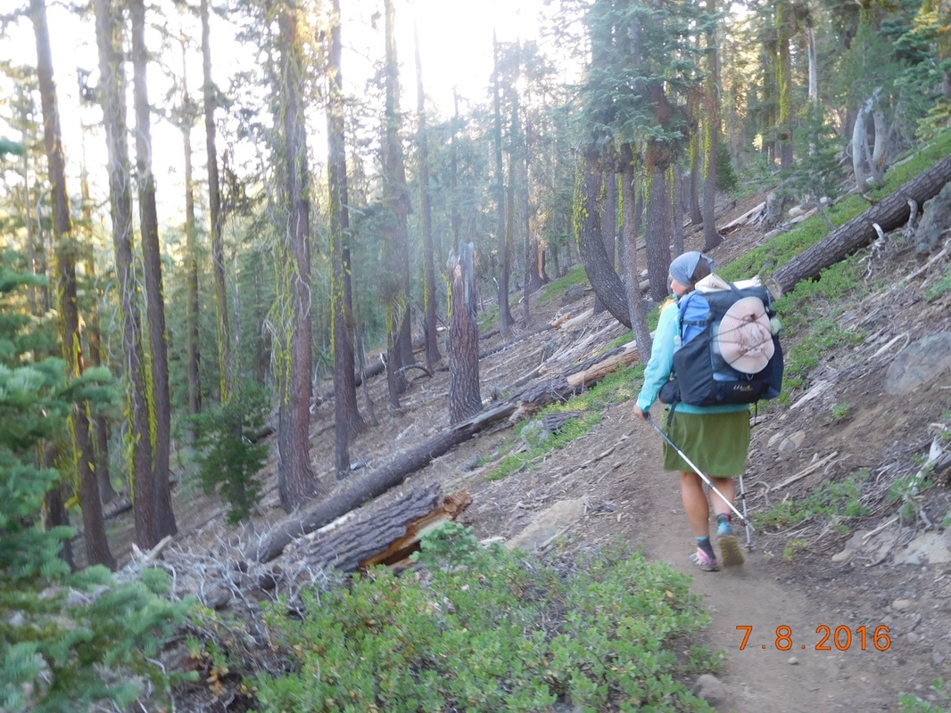
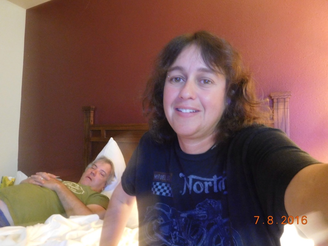
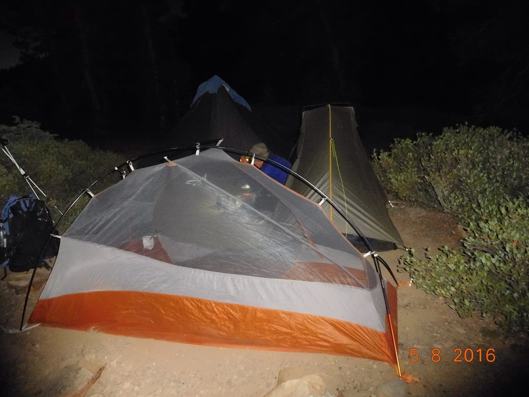
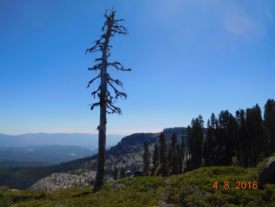
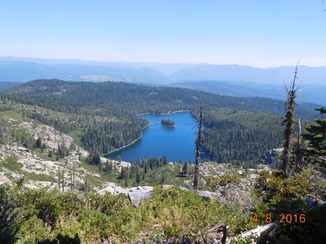
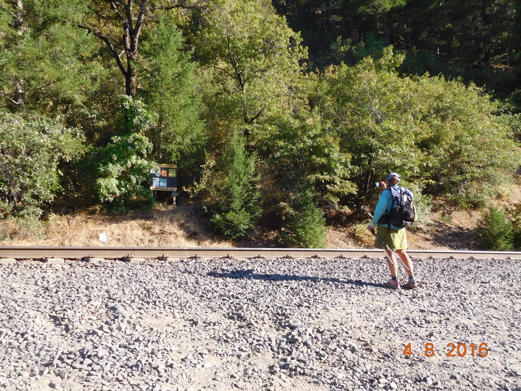
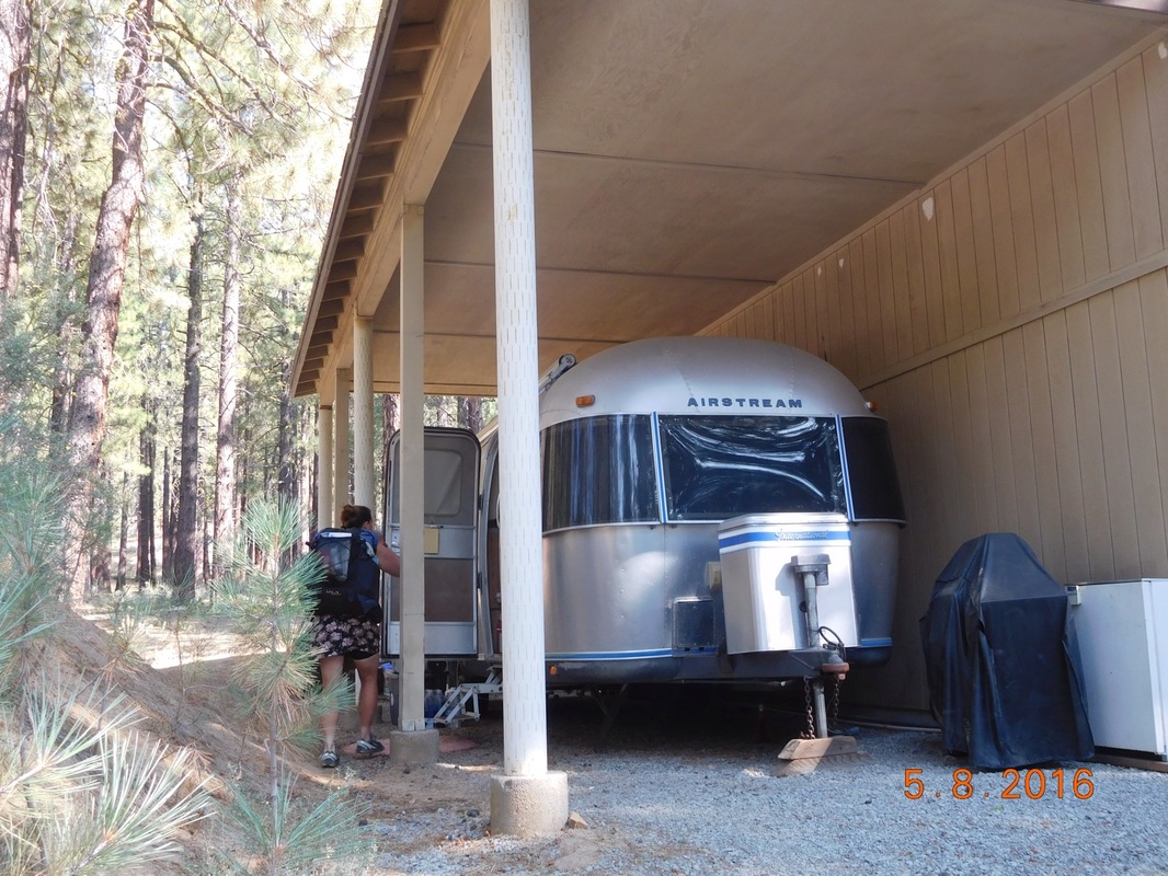
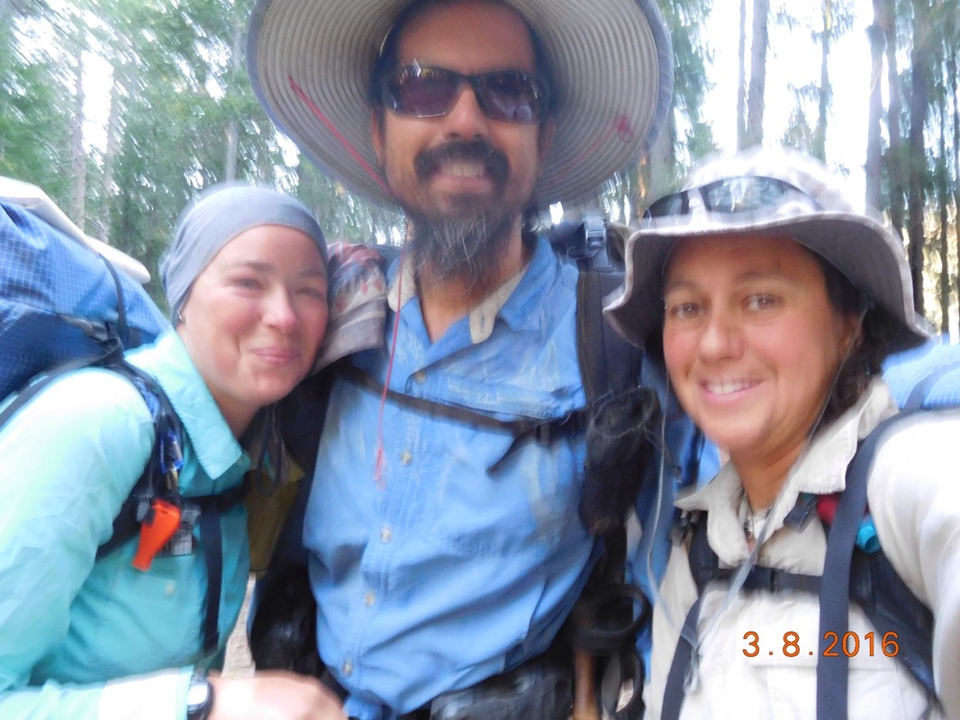
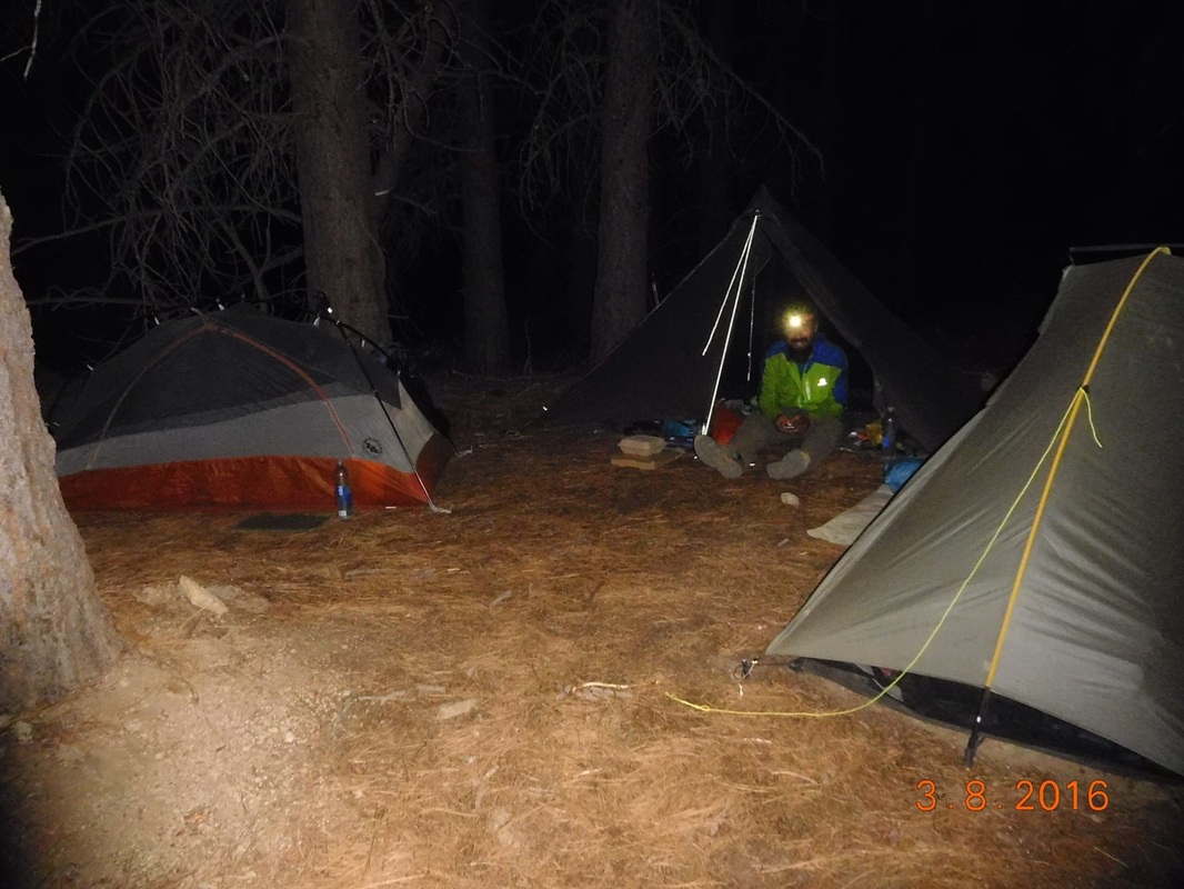
Another sick day...sorry no text to accompany the photos.
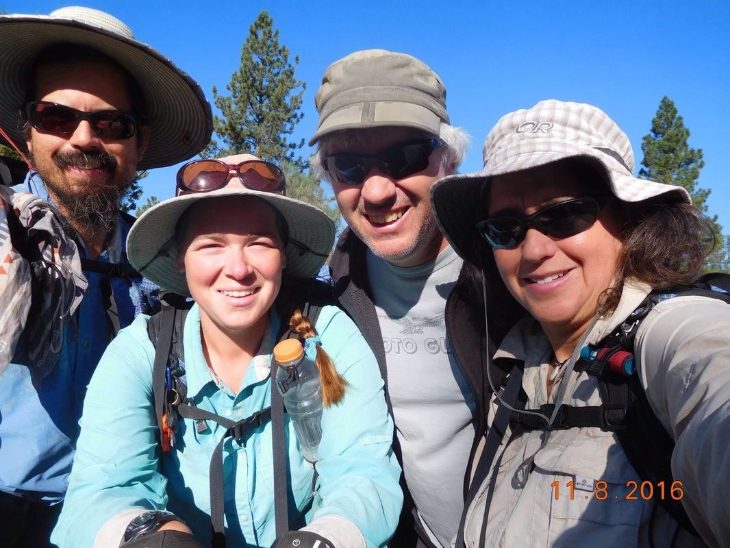
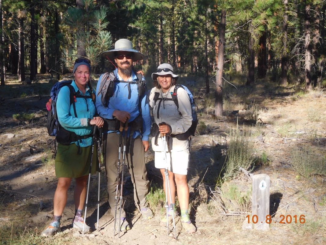
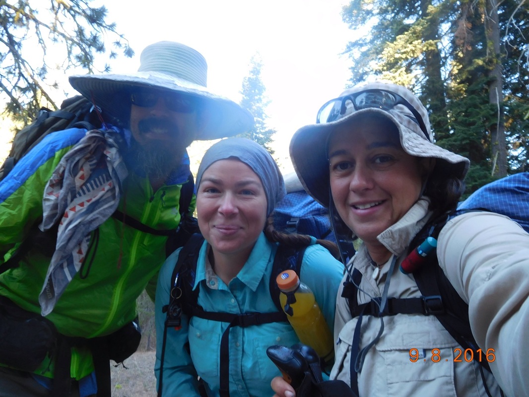
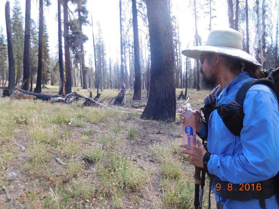
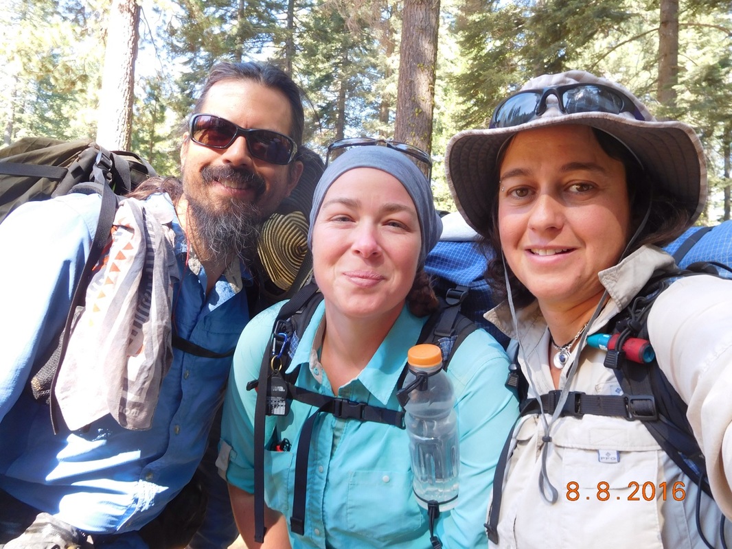
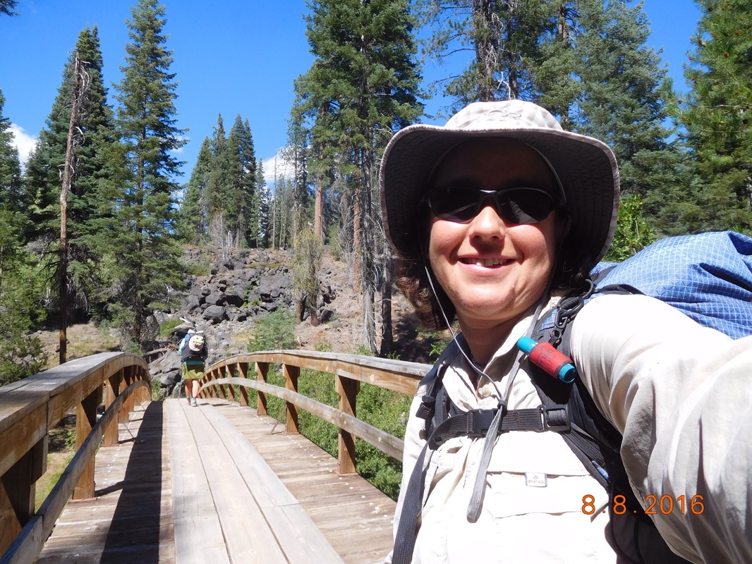
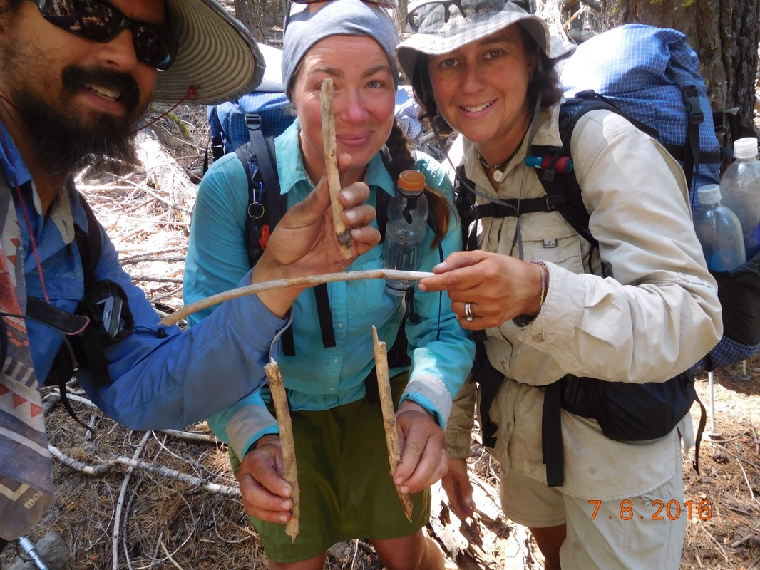
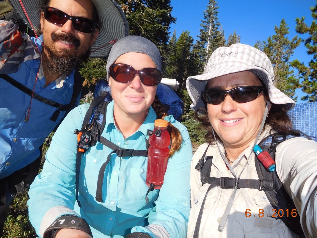
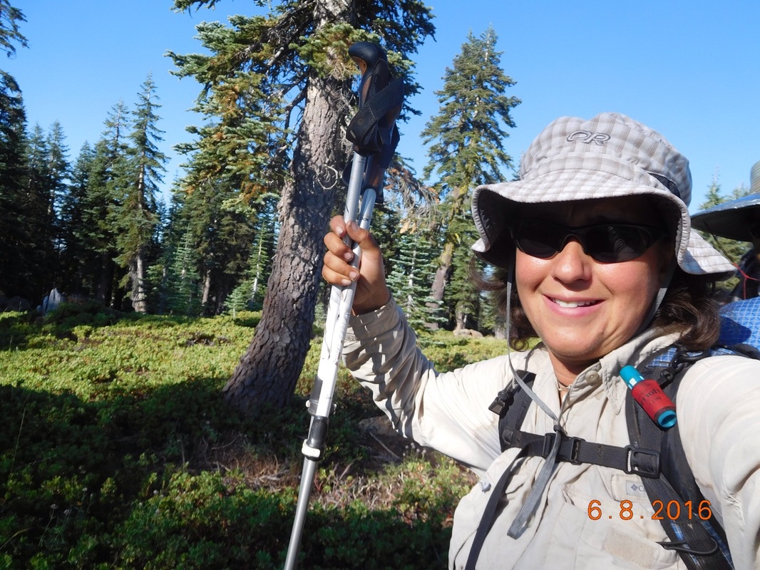
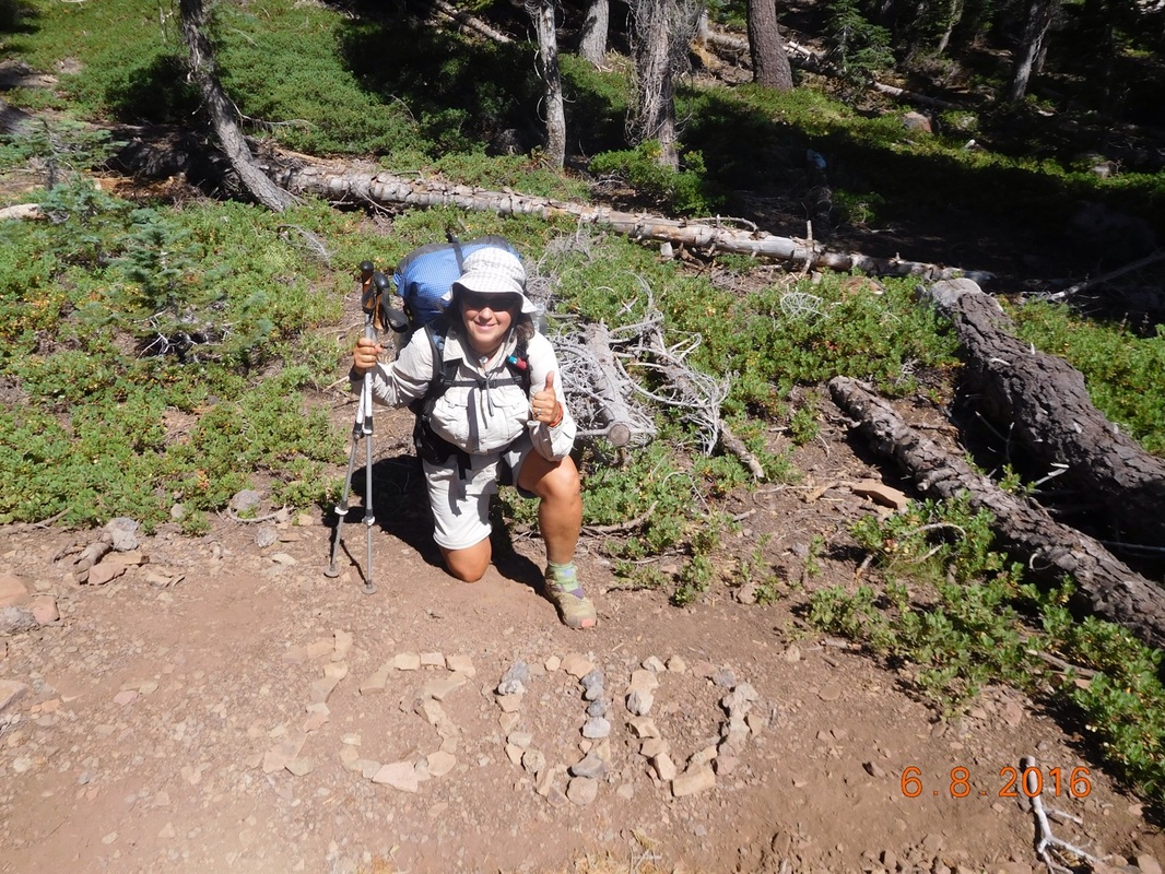
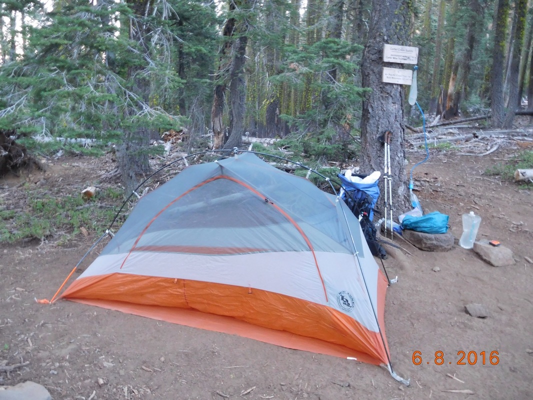
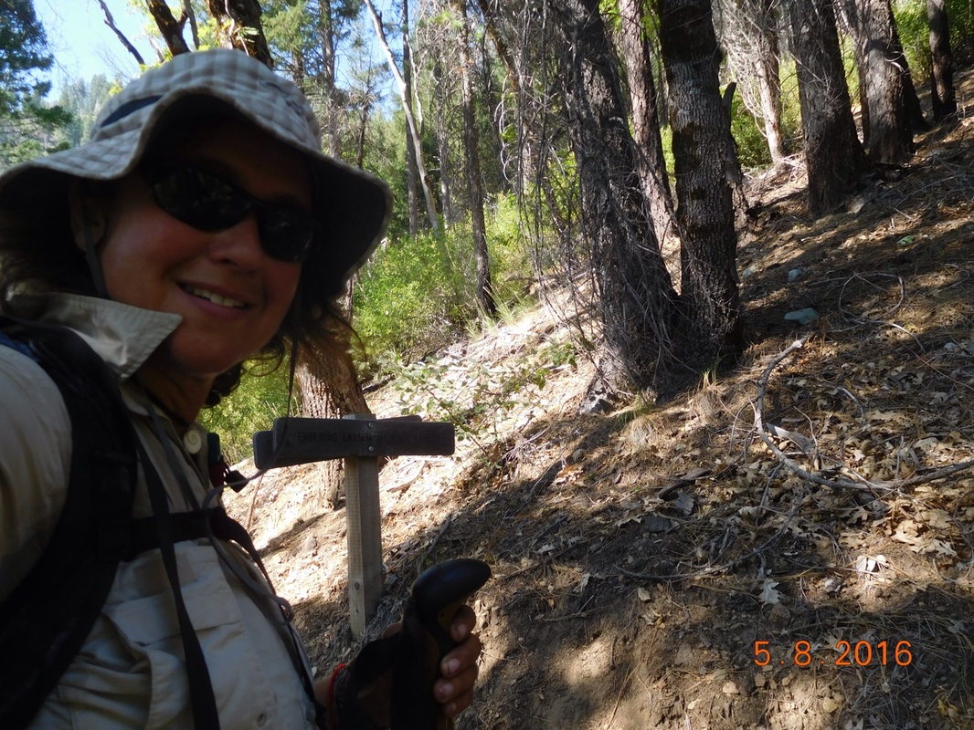
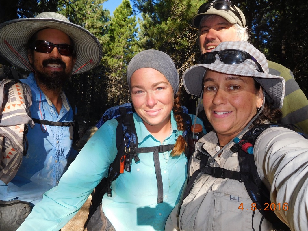
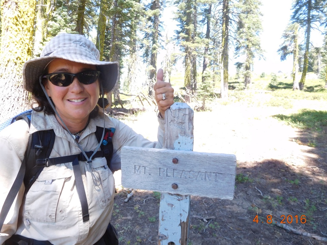
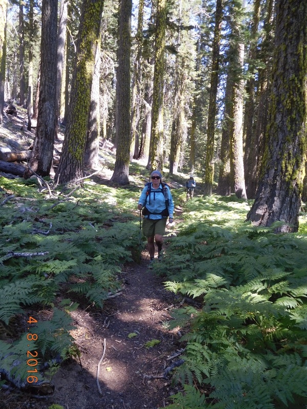
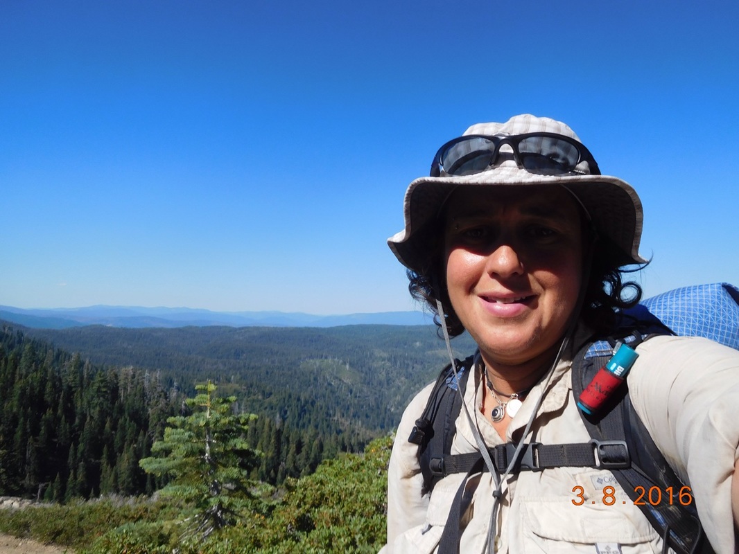
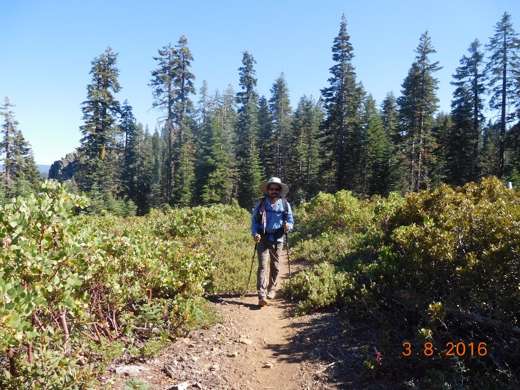
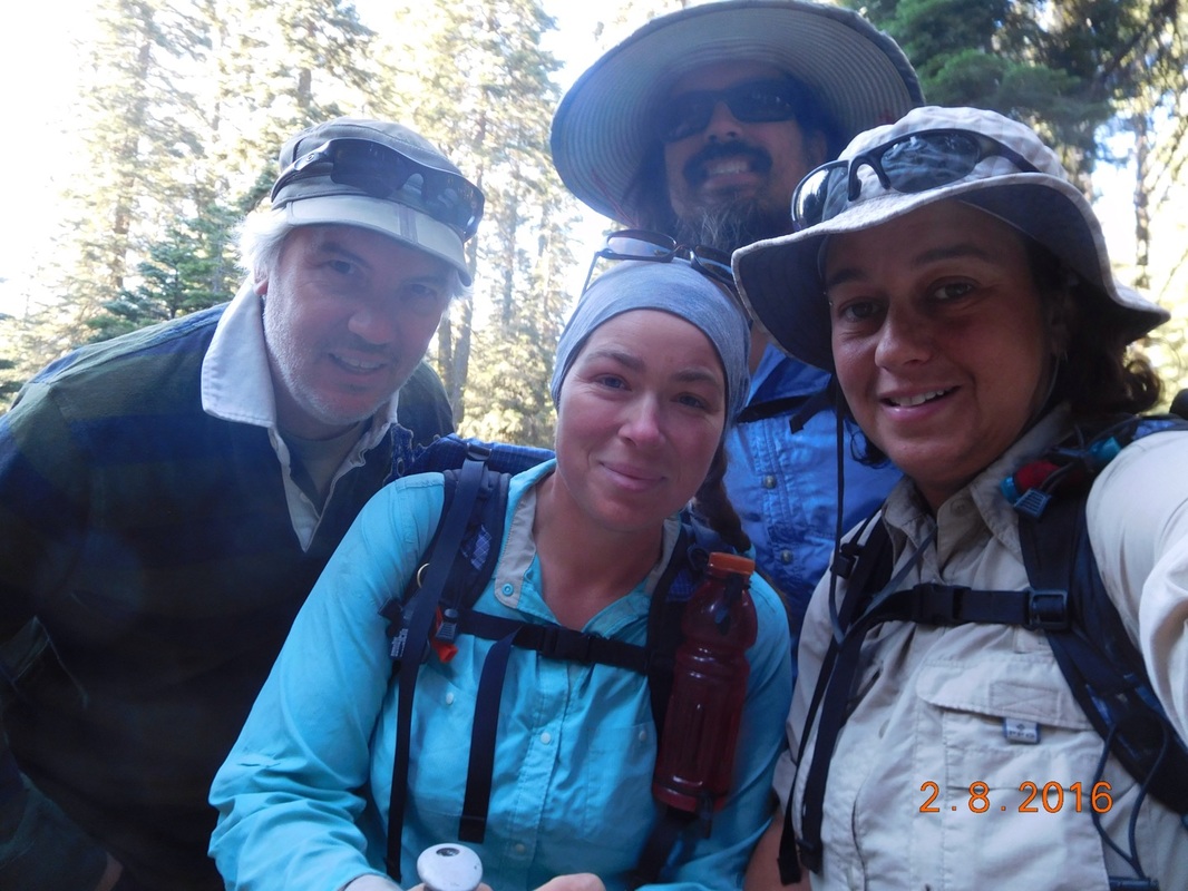
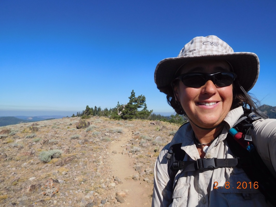
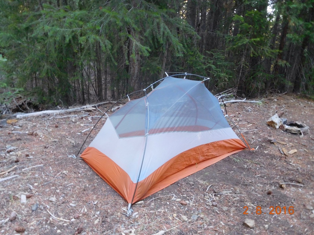
Ready to hike
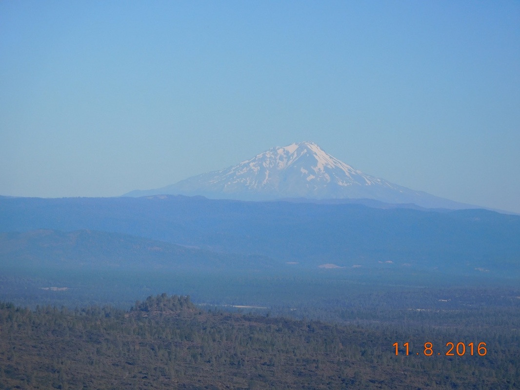
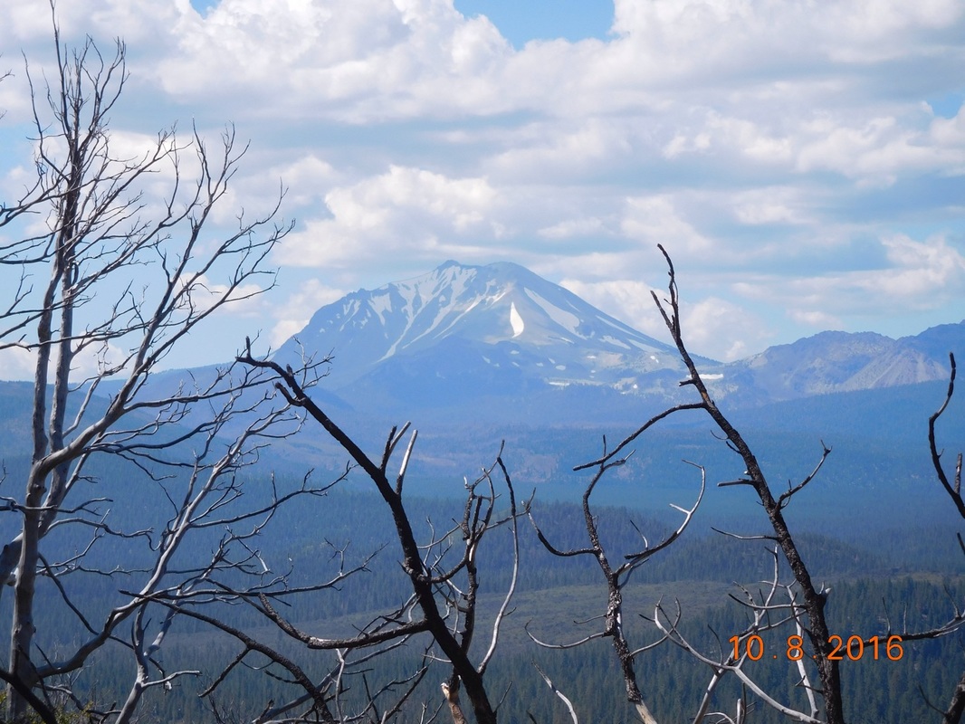
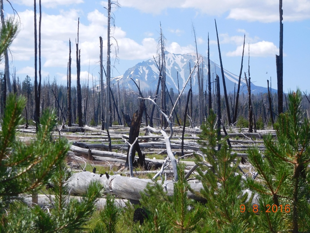
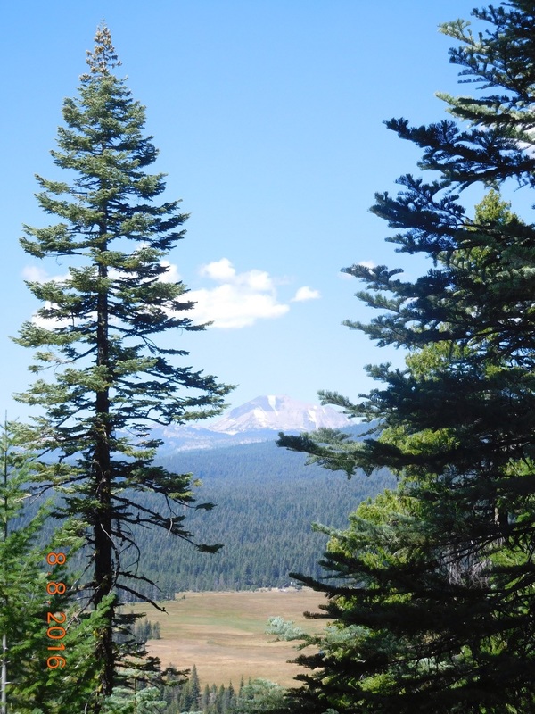
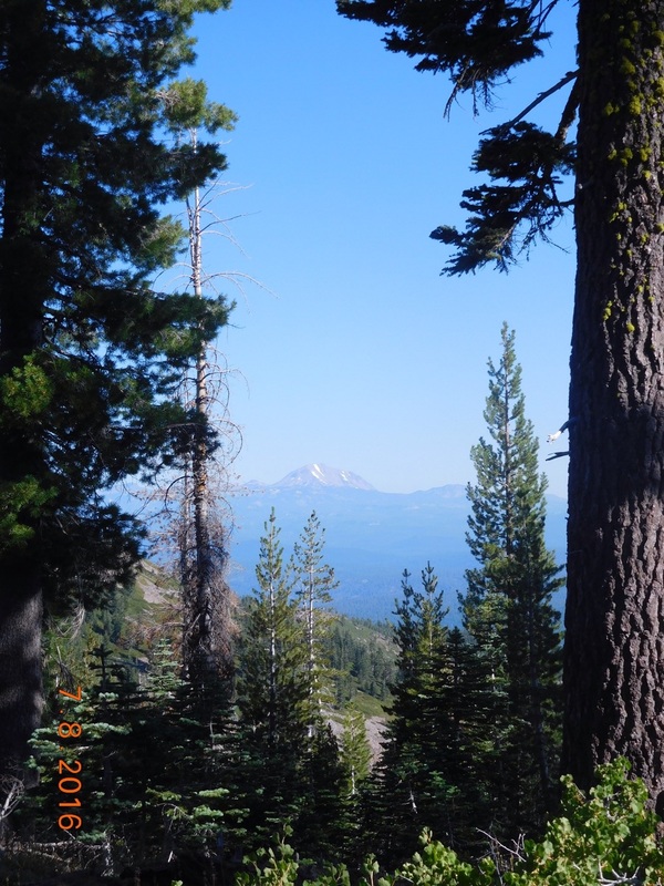
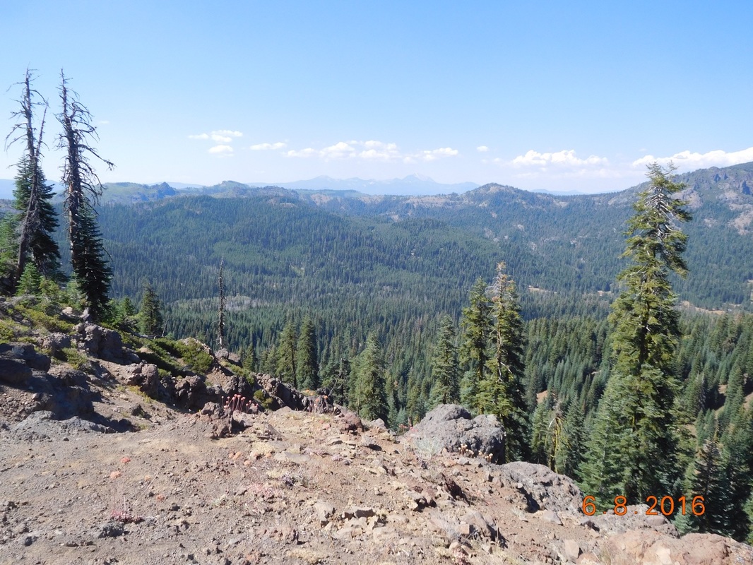
Mount Shasta
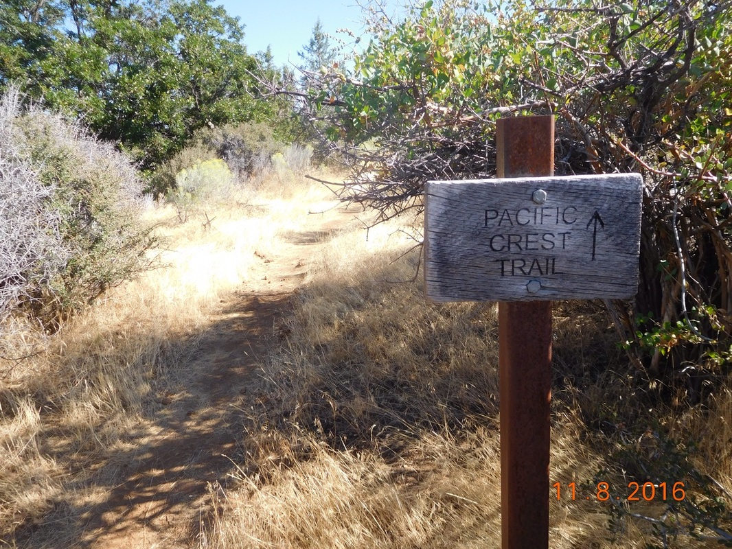
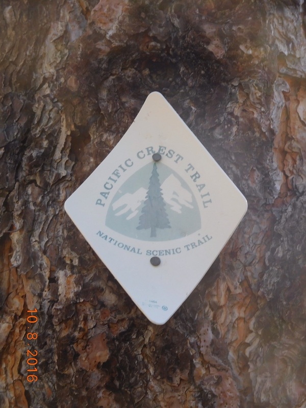
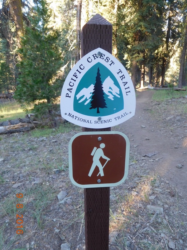
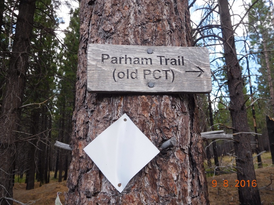
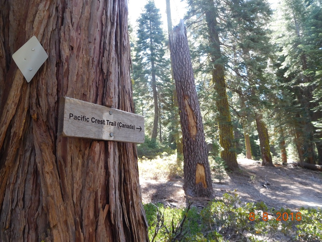
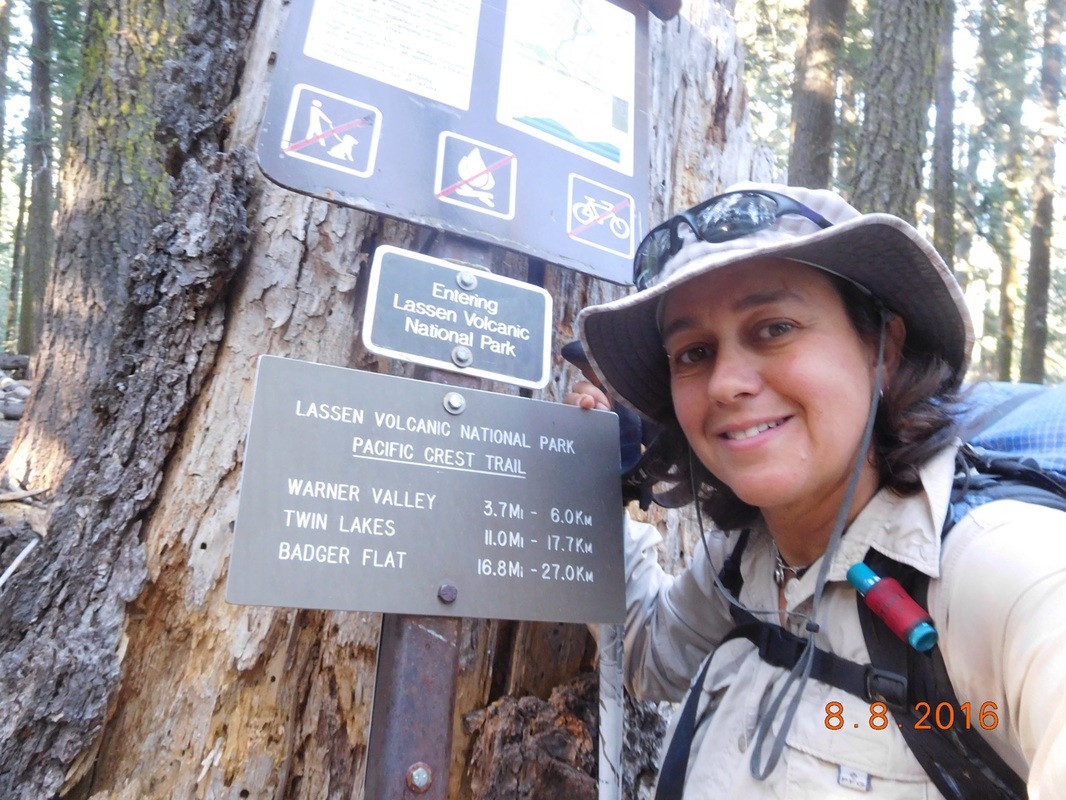
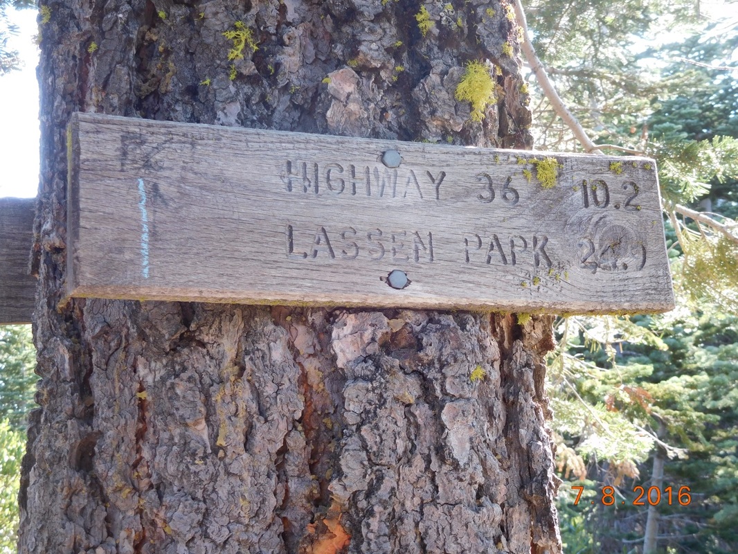
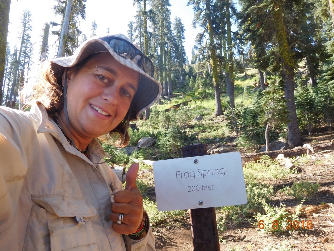
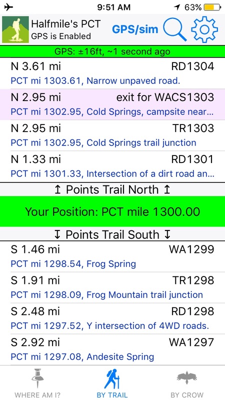
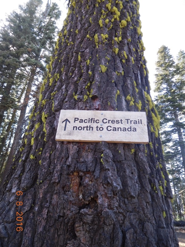
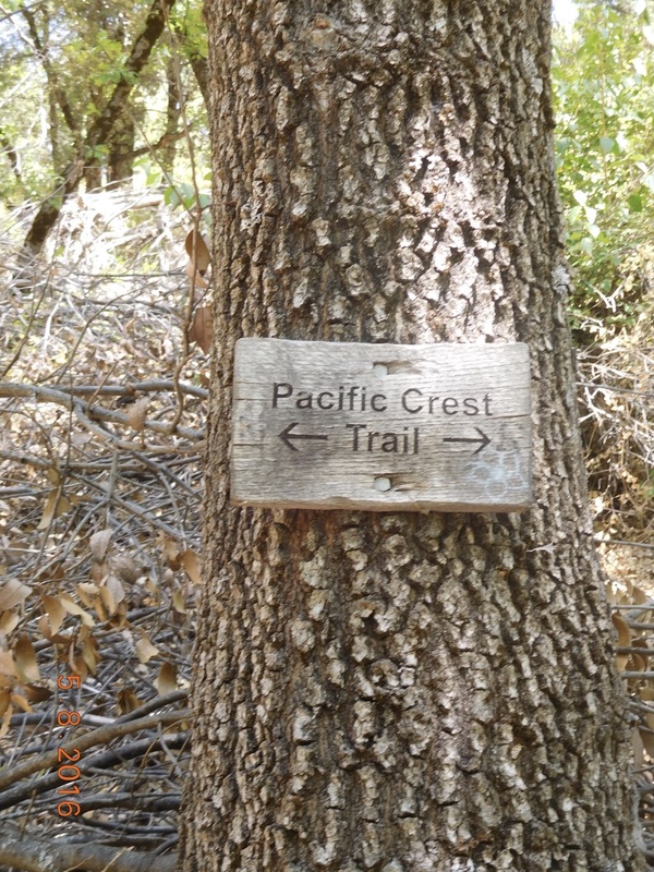
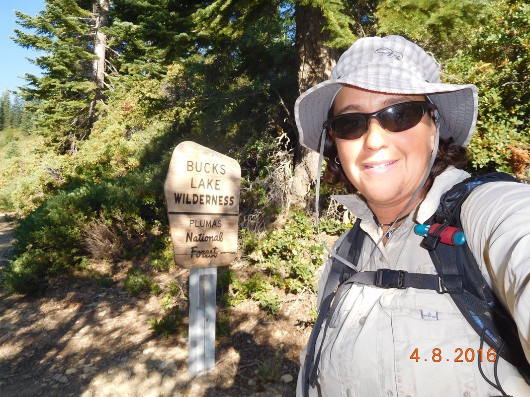
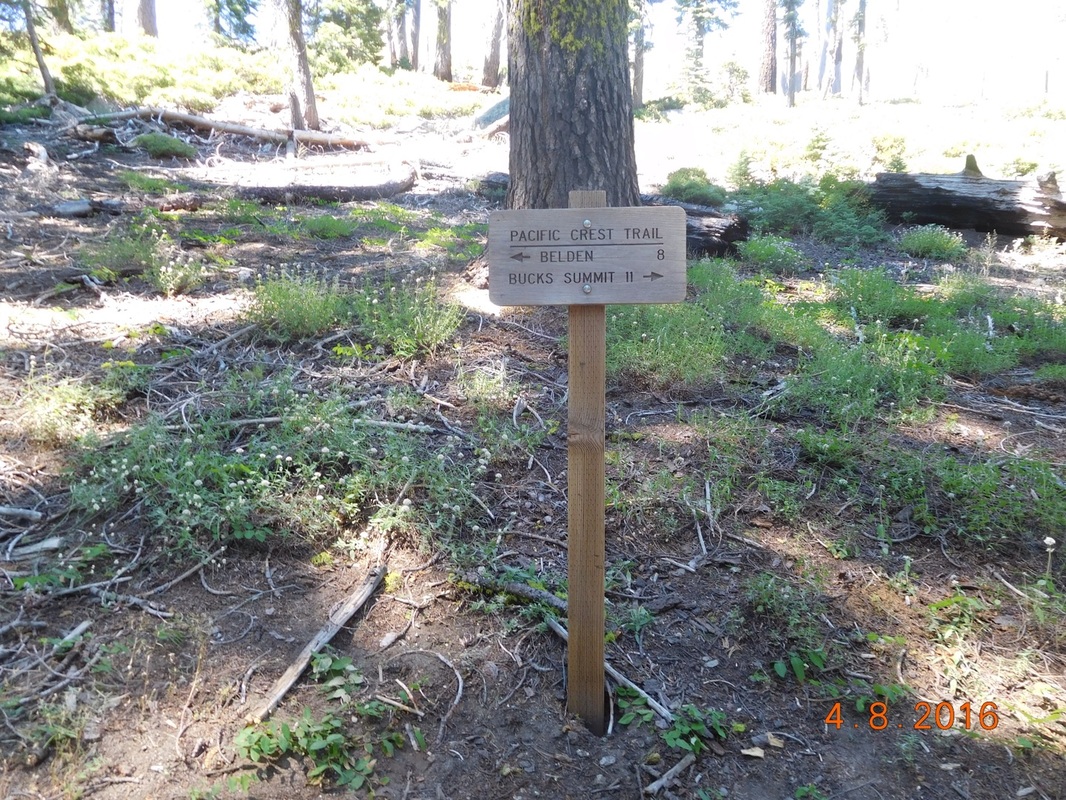
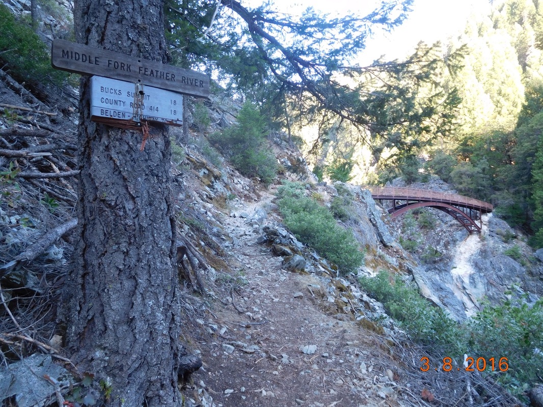
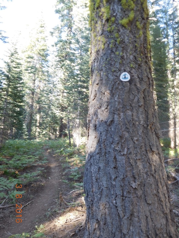
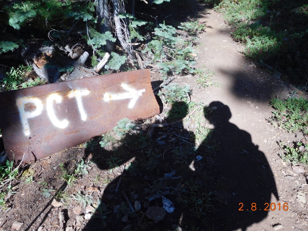
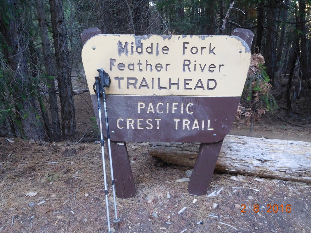
PCT sign of the day
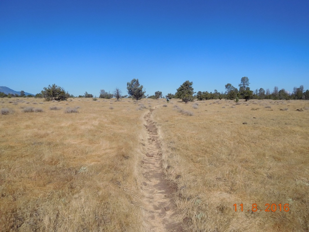
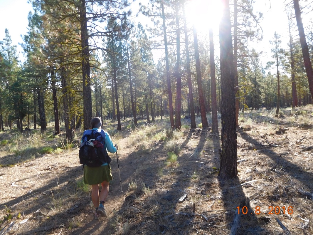
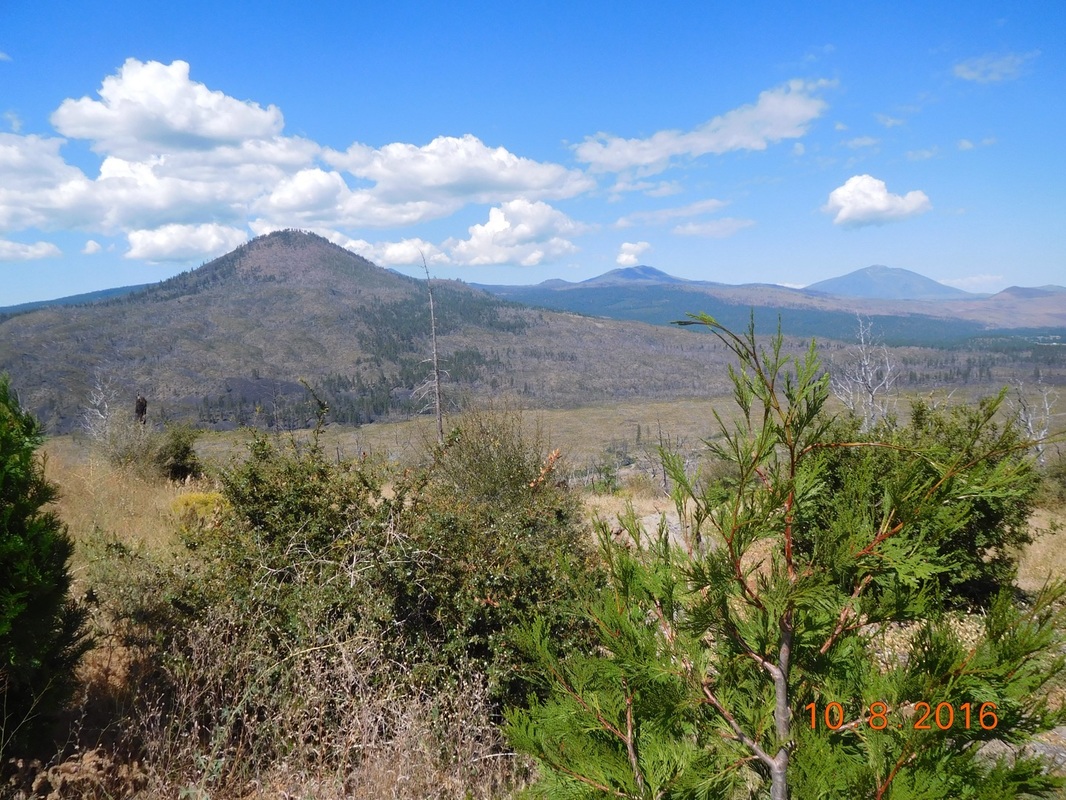
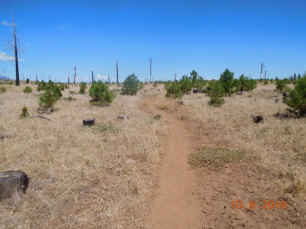
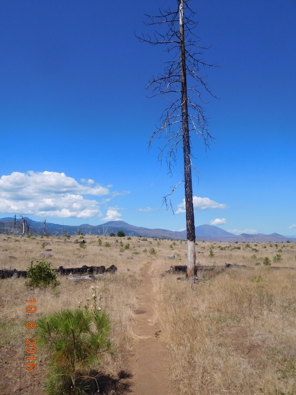
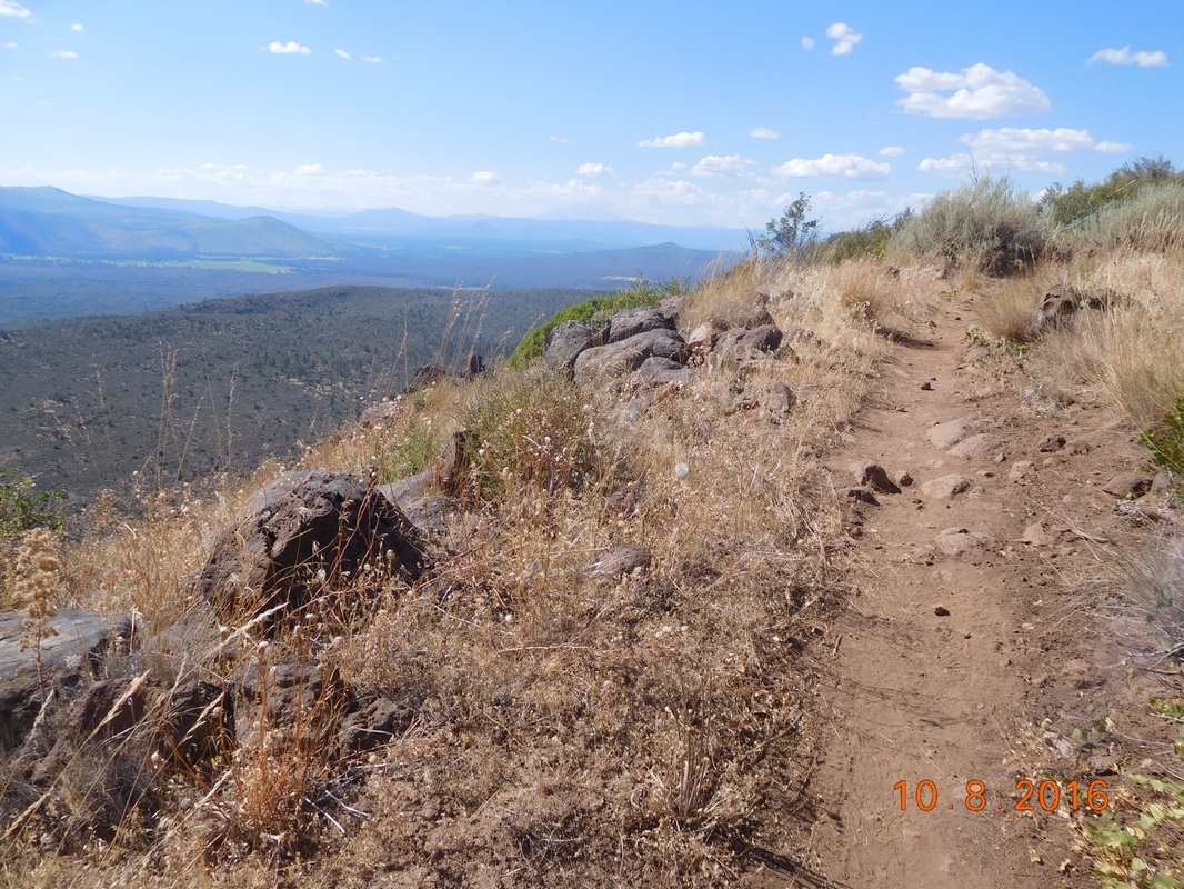
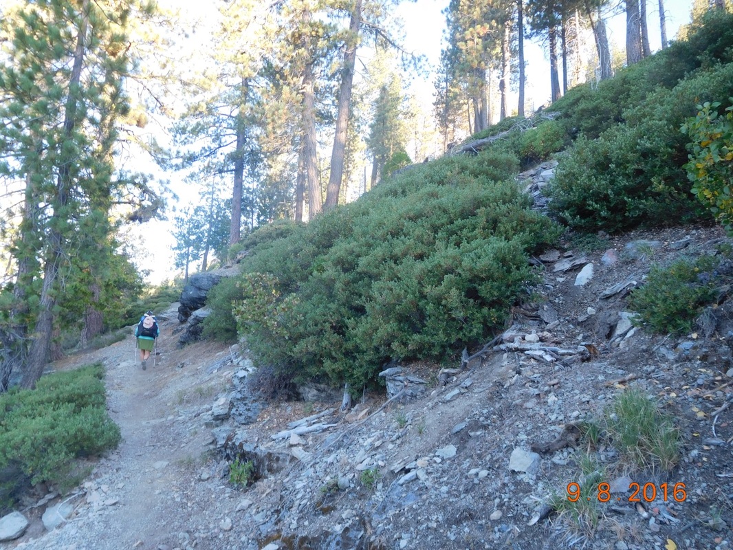
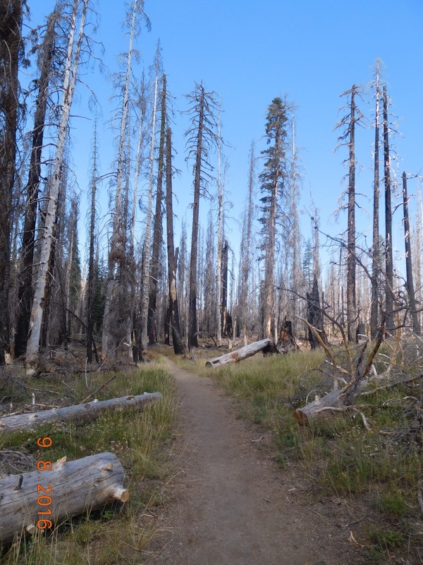
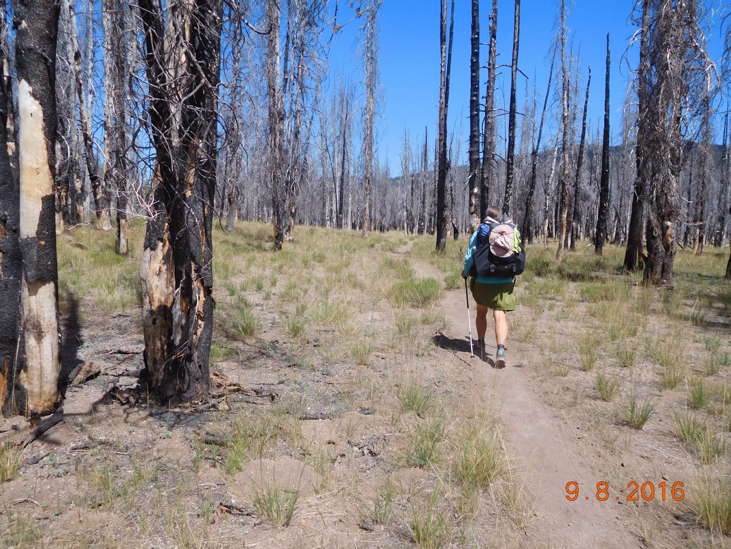
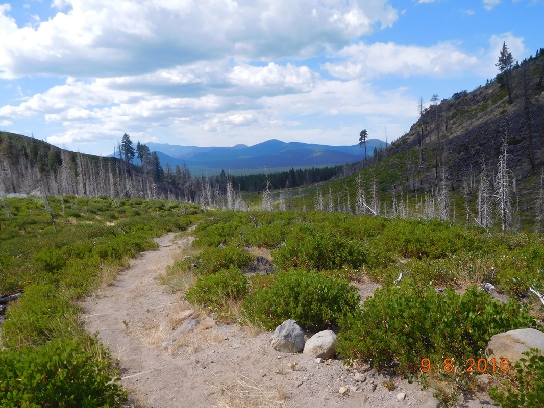
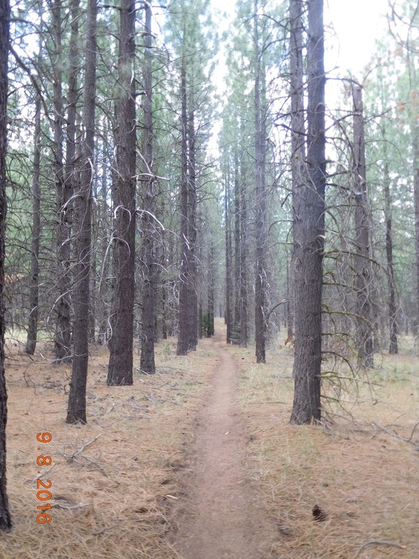
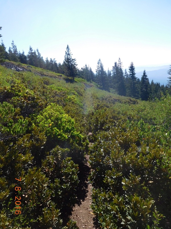
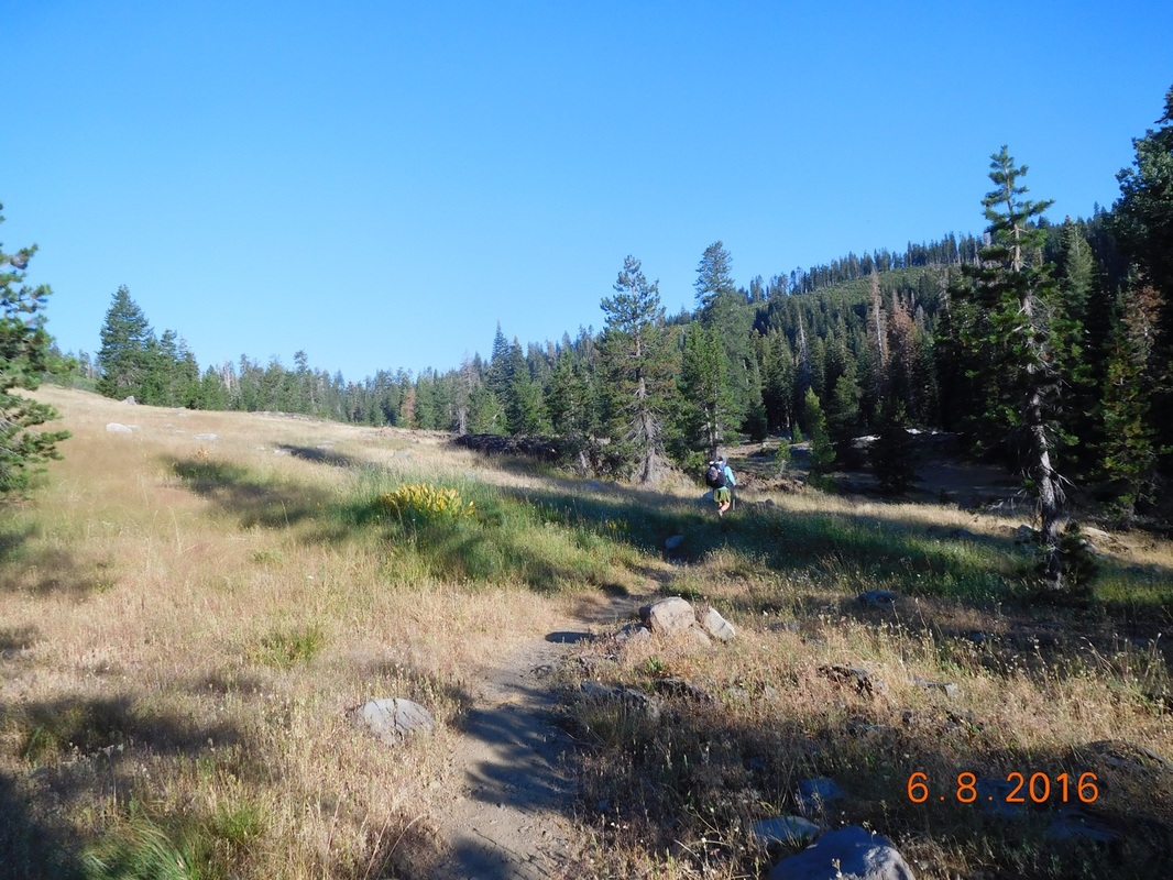
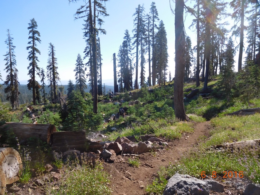
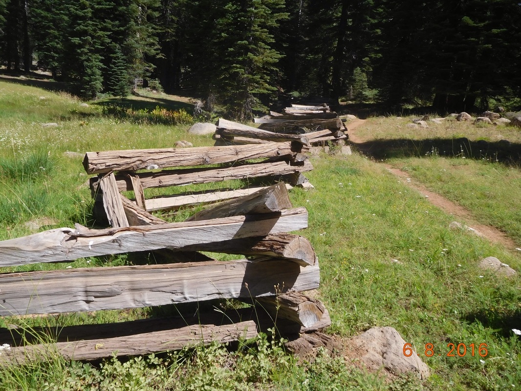
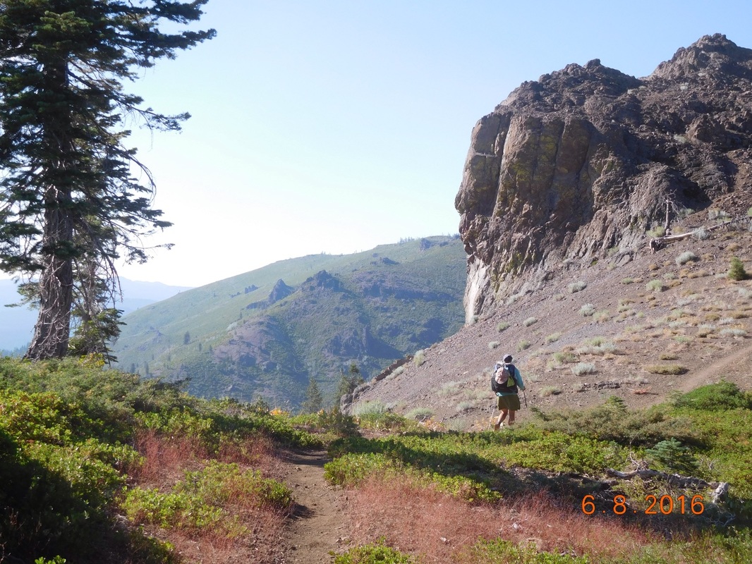
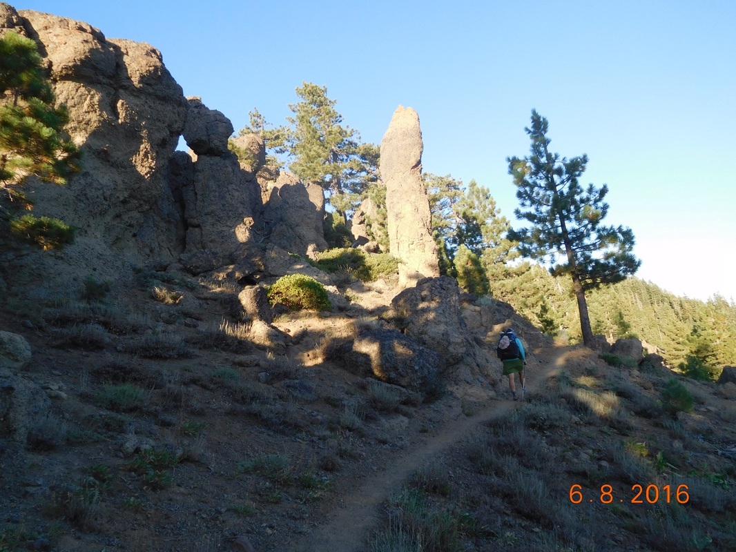
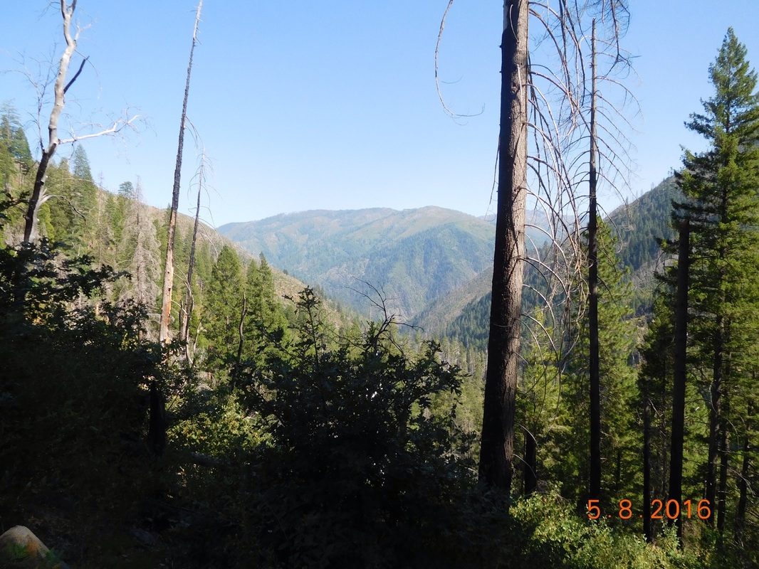
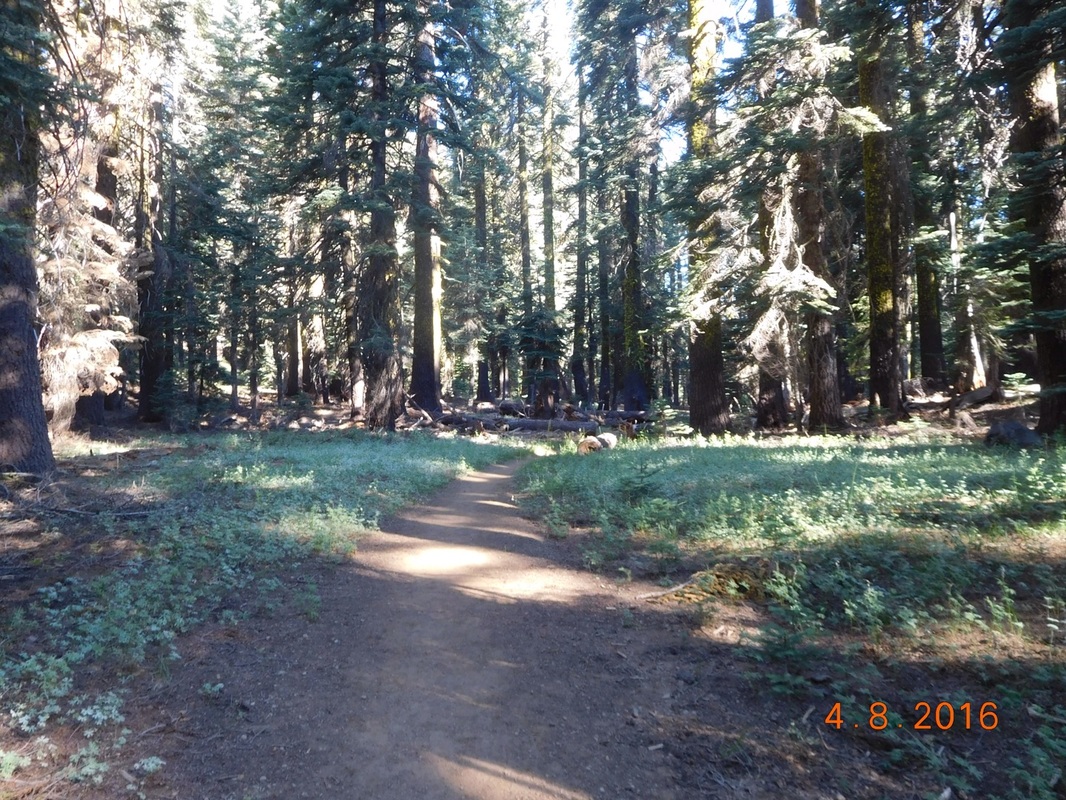
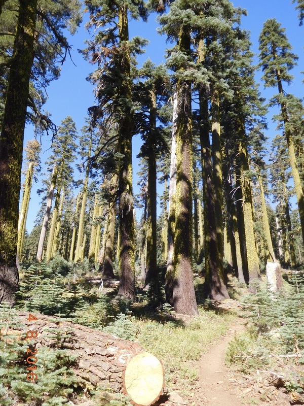
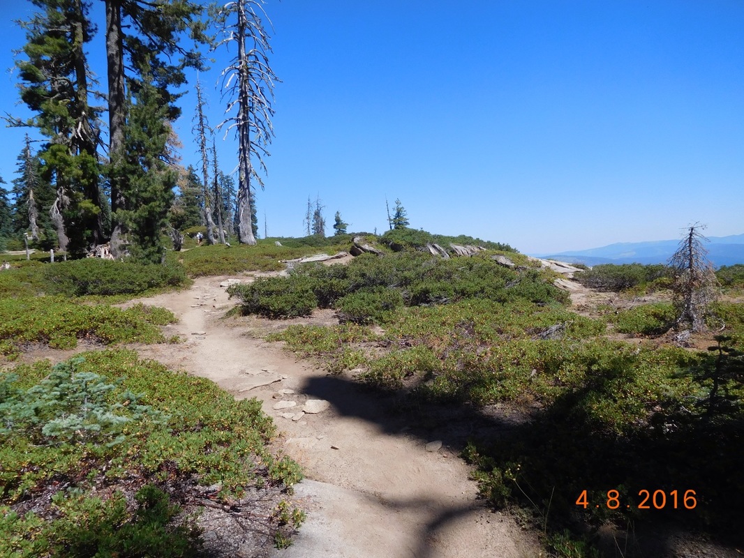
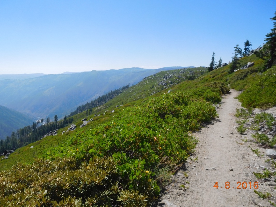
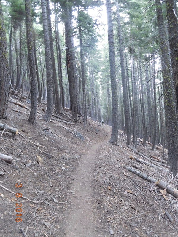
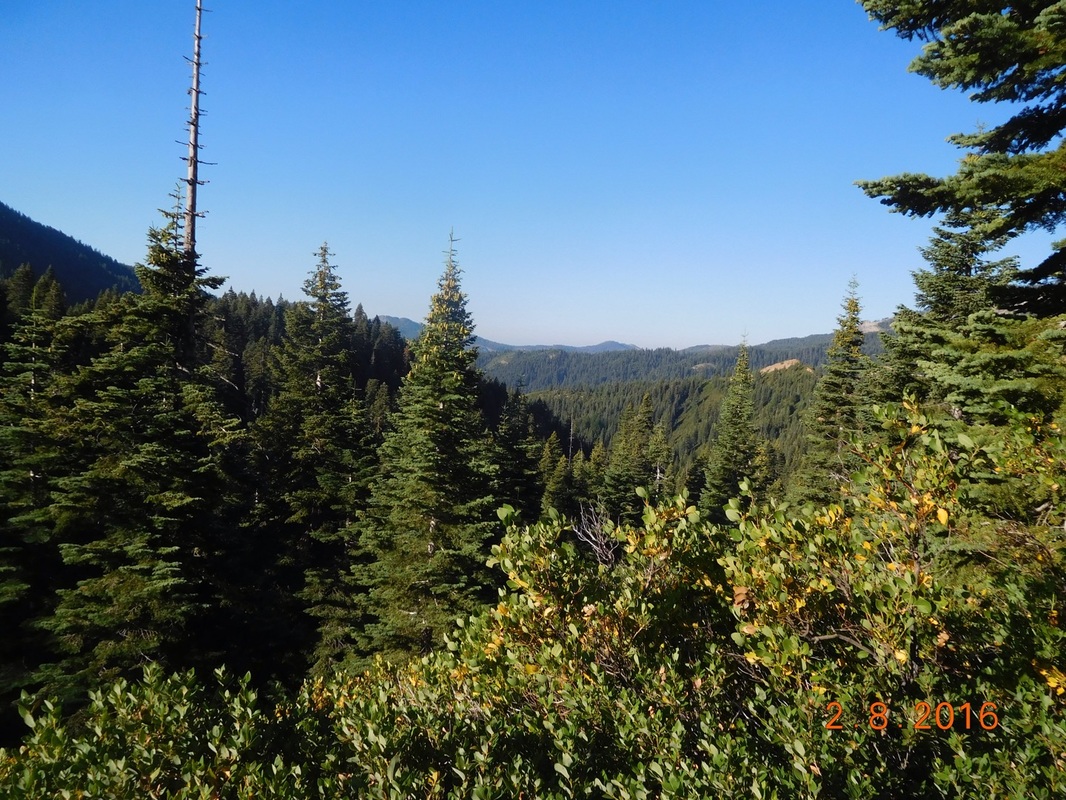
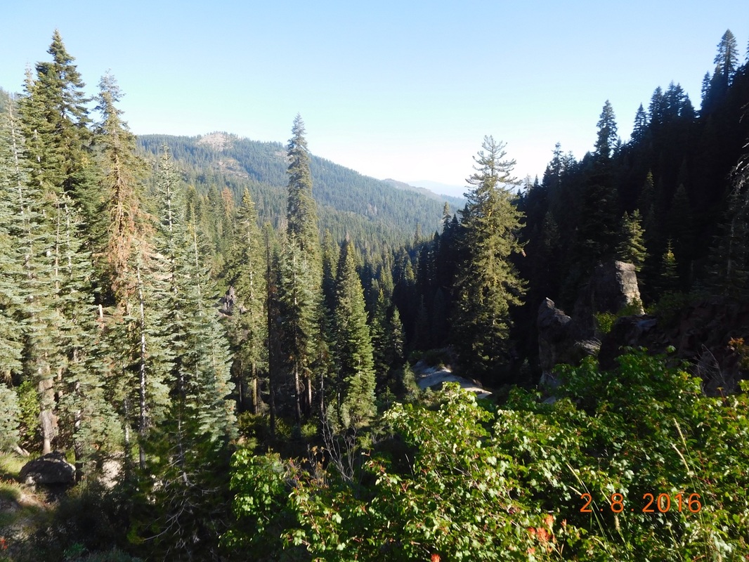
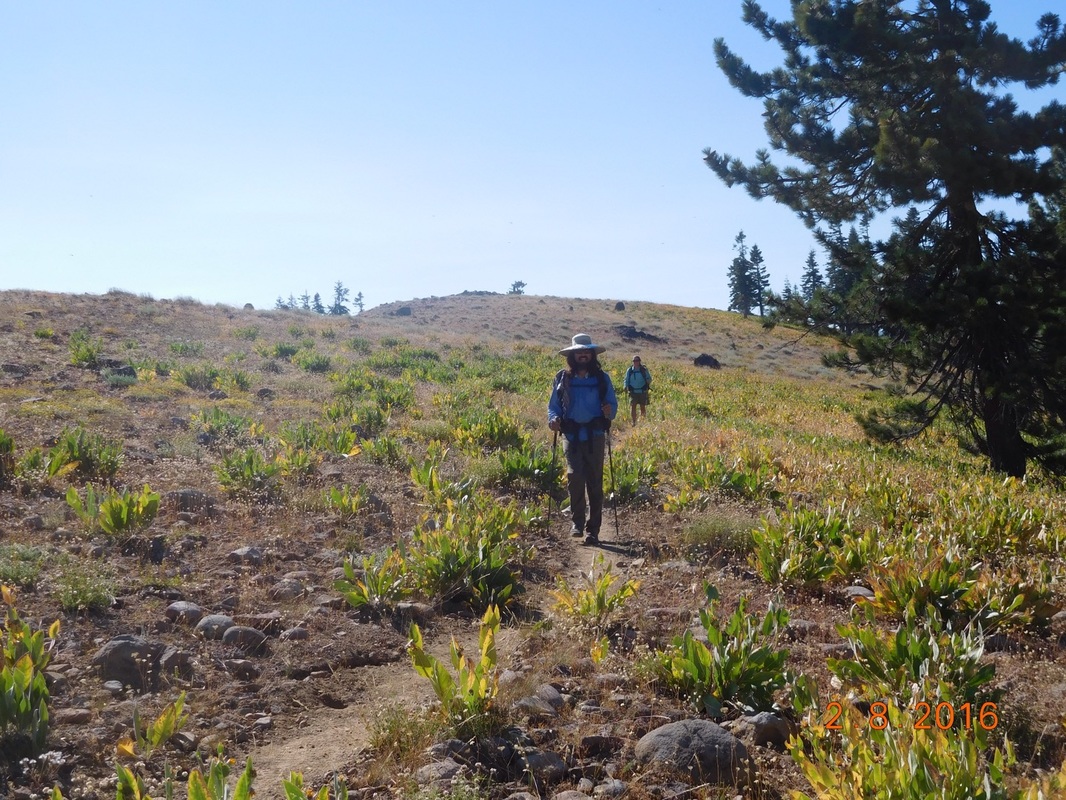
The beautiful PCT
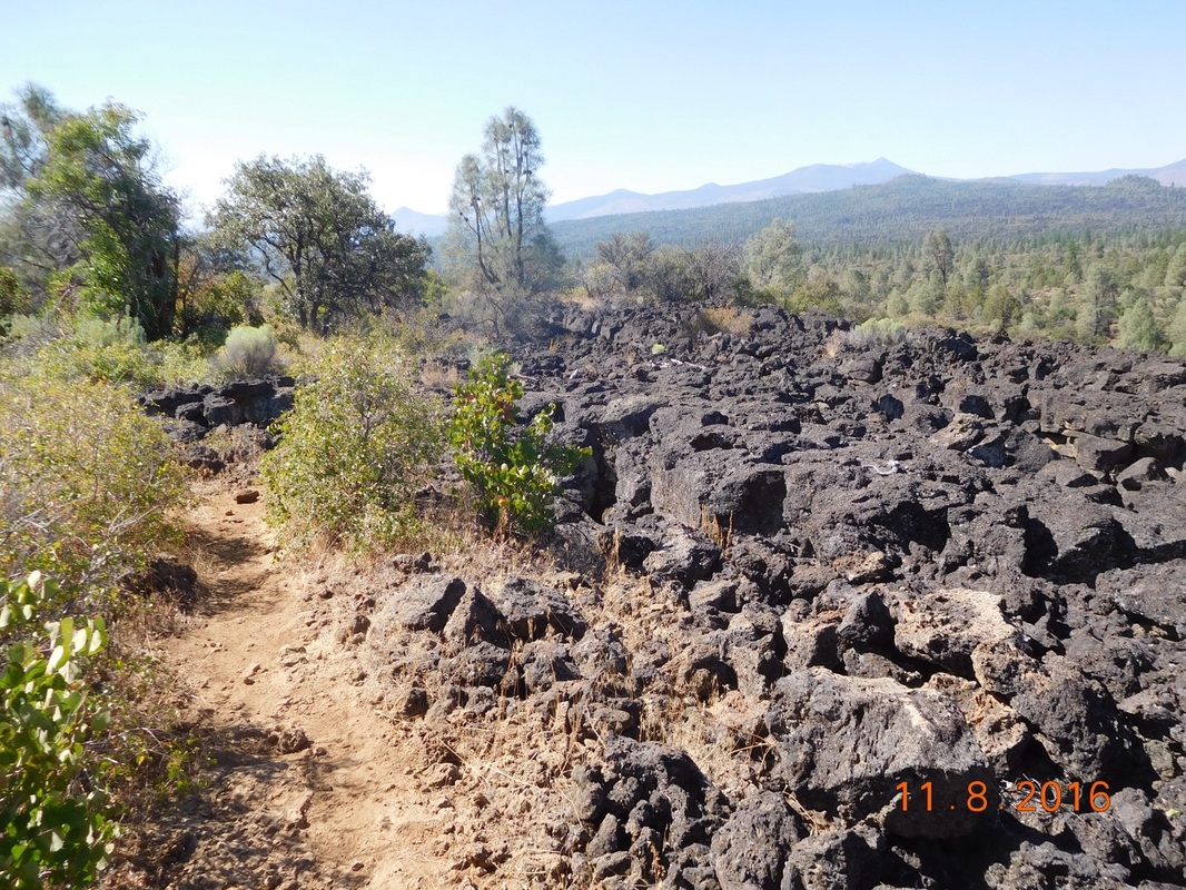
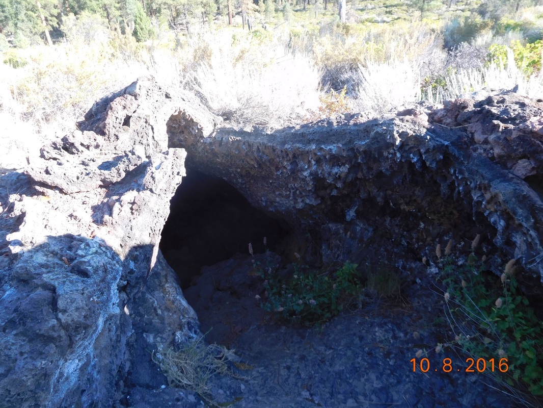
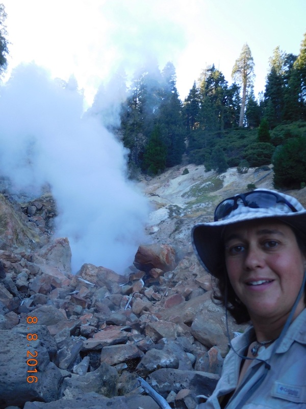
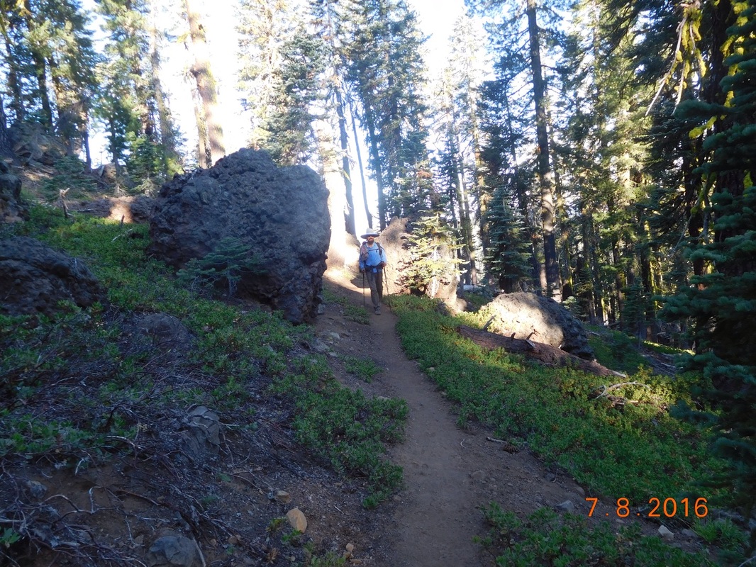
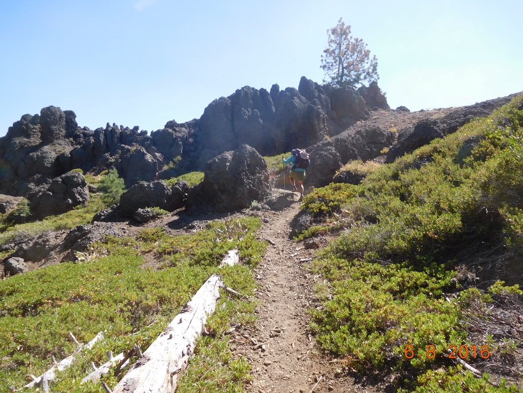
Molten lava
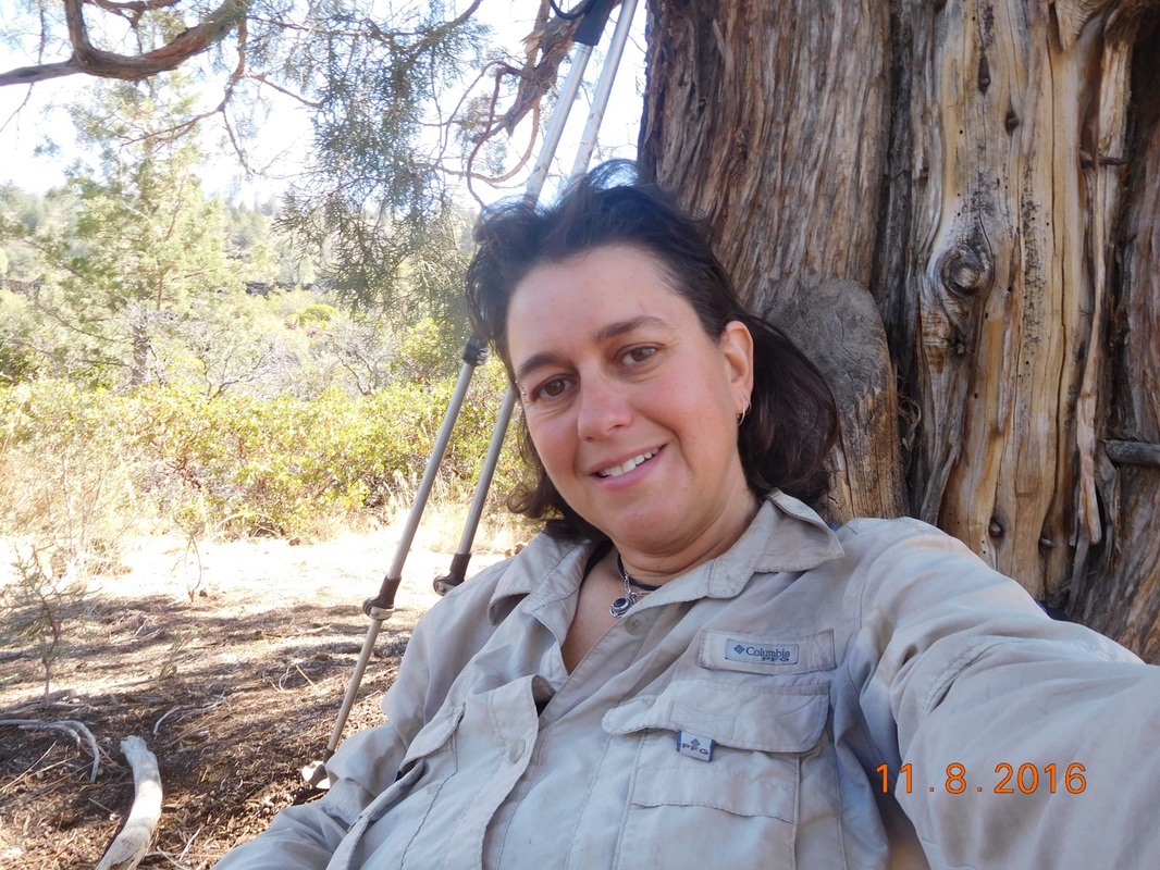
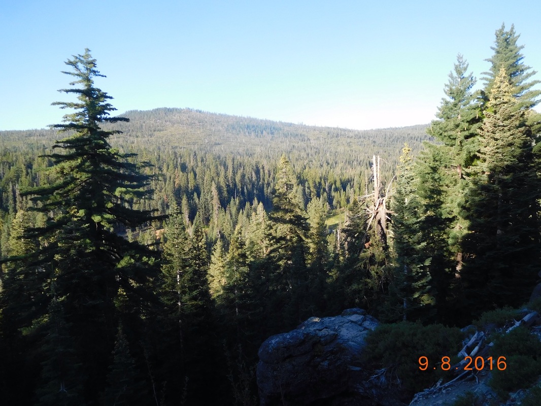
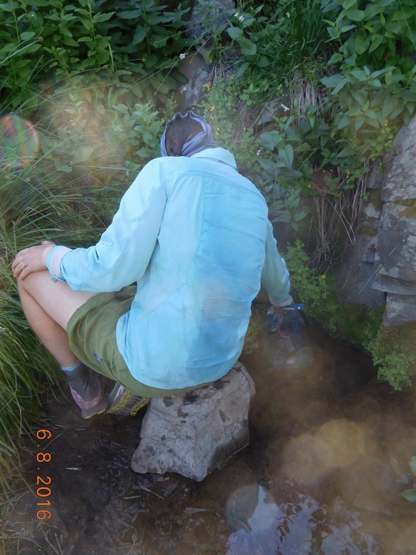
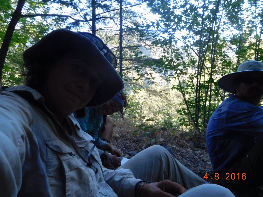
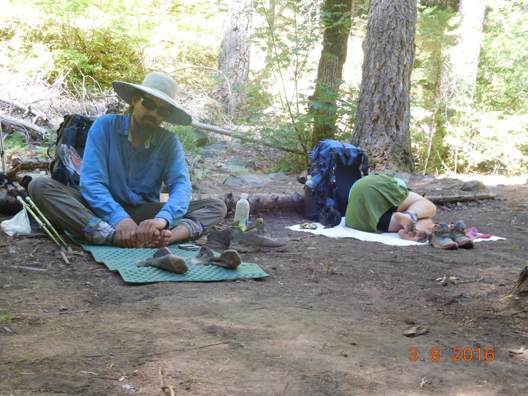
Taking a break
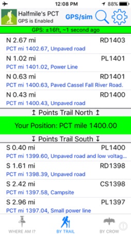
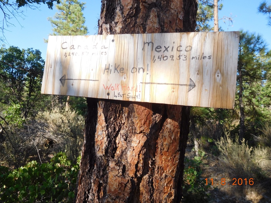
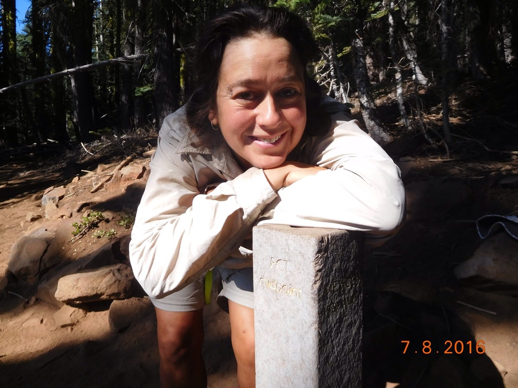
Proof I'm standing at PCT mile 1,400
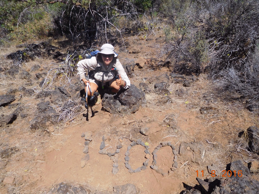
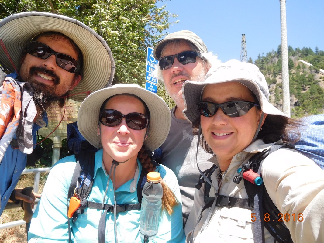
1,400 mile pose
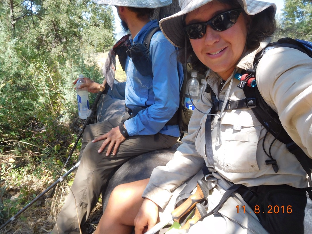
Sitting our hot butts on a cool pipe
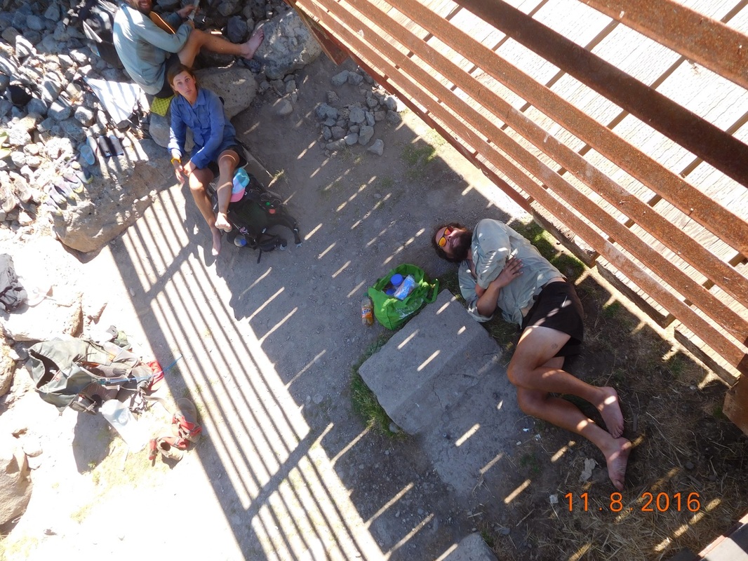
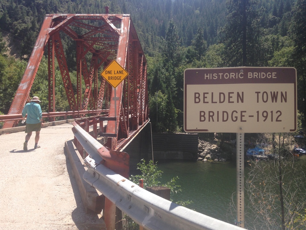
Resting under a bridge
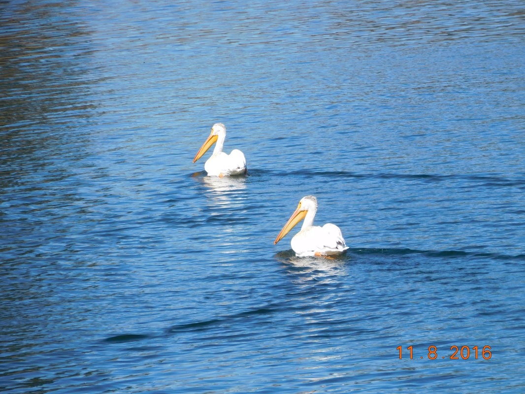
Pelicans in California?
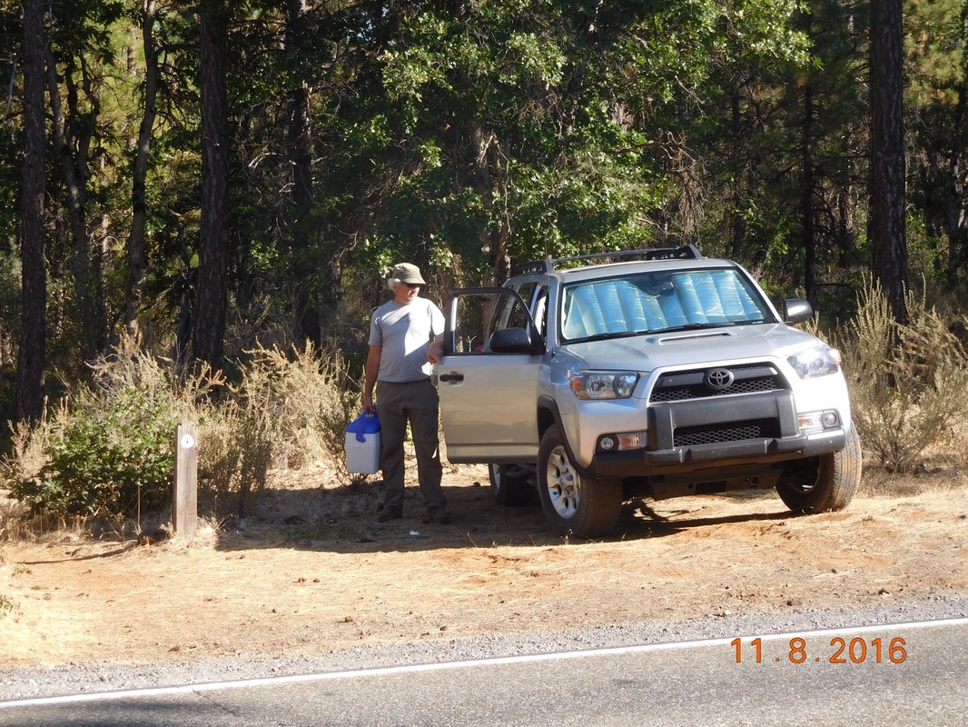
Tim providing trail magic.
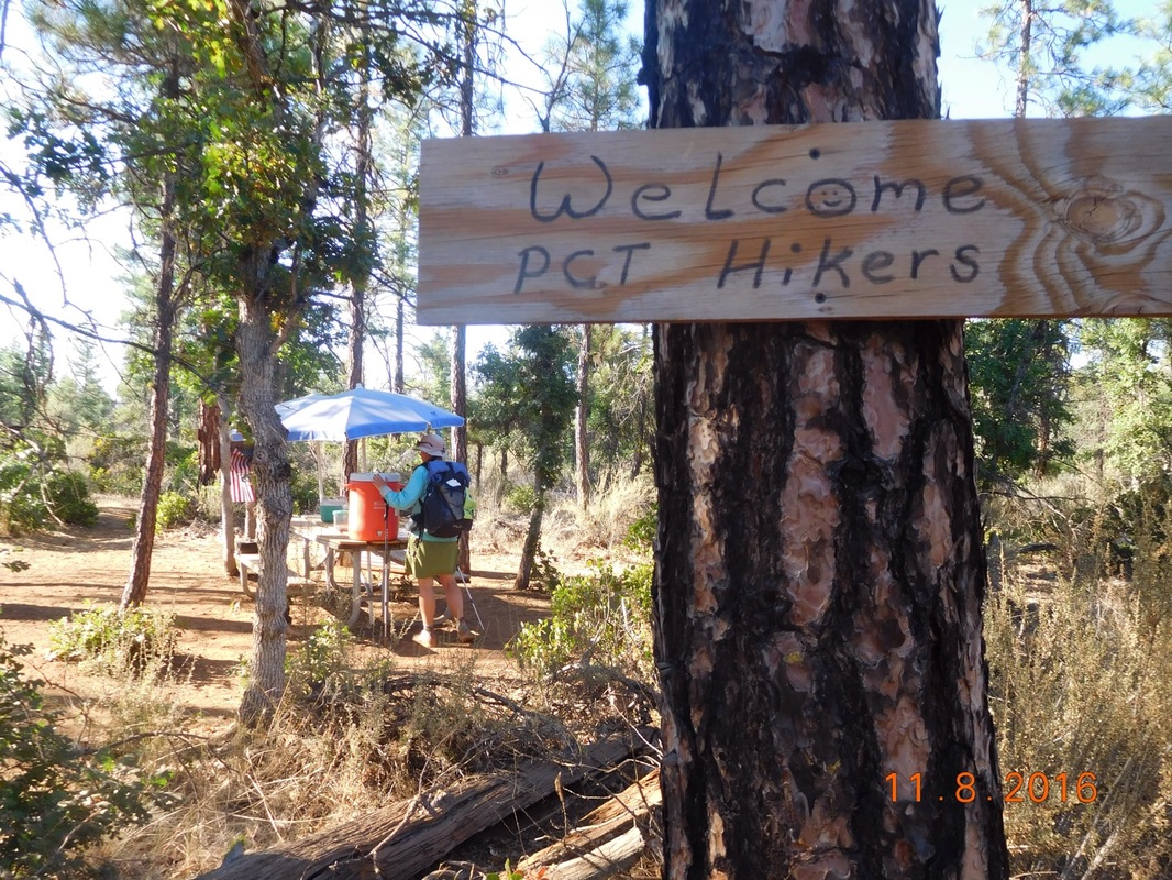
A surprise trail magic stop
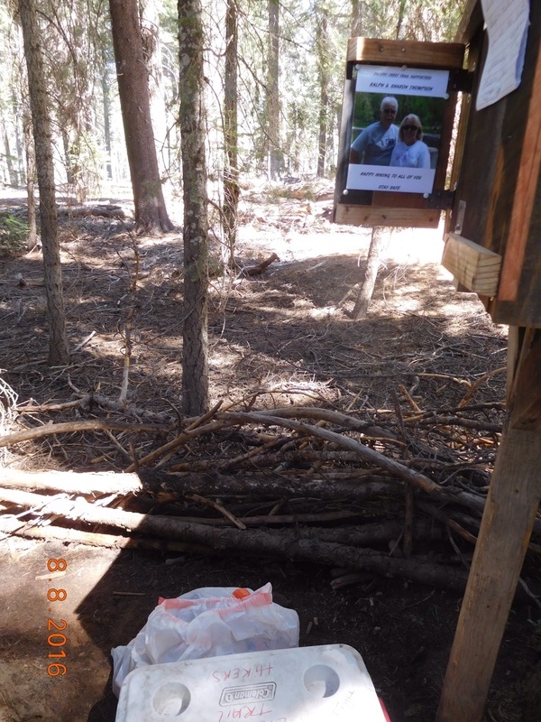
Thanks trail angels!
We hiked a record 24.44 miles today!
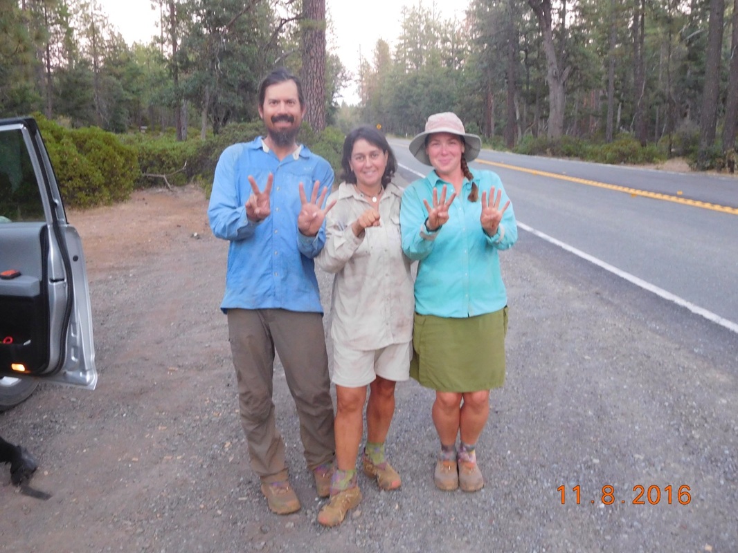
24.44 mile pose


 RSS Feed
