Casa Grande - South Tucson, AZ
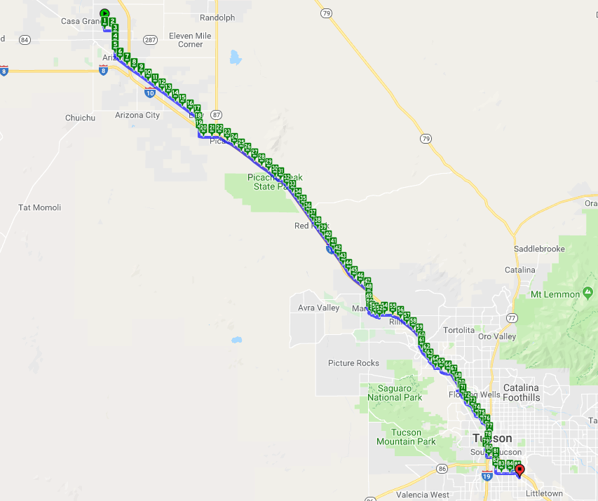
Daily Route
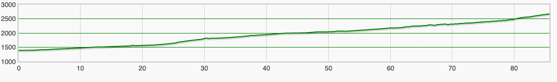
Daily Elevation
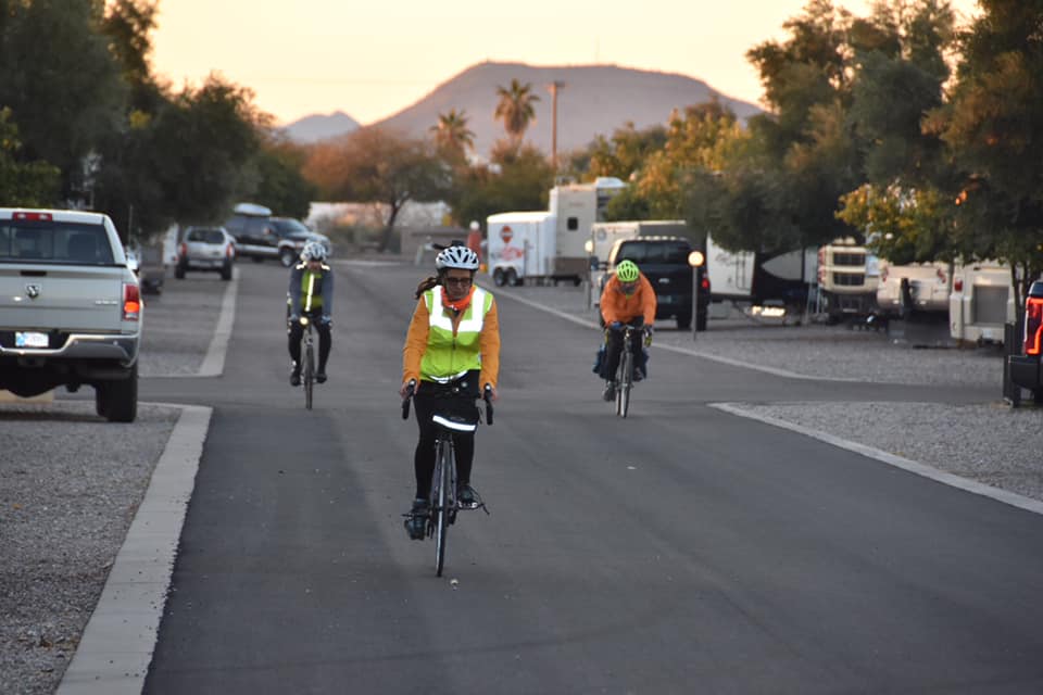
The day started out great. We woke in the AirBnB, I took a nice hot shower, and had leftover Chinese for breakfast. The RV crew showed up at 8:30 AM as planned and we were ready to ride just before 9 AM. It was just warming up and a fog formed outside the house. Some (Tim & I) wanted to wait a bit for the fog to lift, but everyone was anxious to ride since we had over 80 miles ride, so we took off.
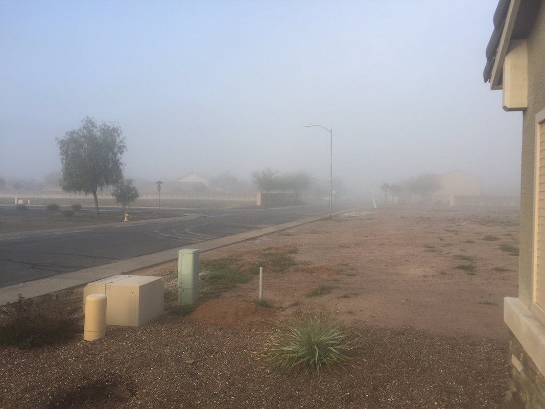 Morning fog |  Preparing to ride |
It seems to be the right move since as soon as we left our subdivision we emerged from the fog. Oh, did I mention that the temperature was 35 degrees when we left? Our “ray of light” literally was that there wasn’t a cloud in the sky, so the sun was bright and made us feel warm.
Well, everything was going awesome until Tim got a flat tire around mile 12. No big deal. Pretty easy fix. Then, I hit a pothole around mile 22.
Well, everything was going awesome until Tim got a flat tire around mile 12. No big deal. Pretty easy fix. Then, I hit a pothole around mile 22.
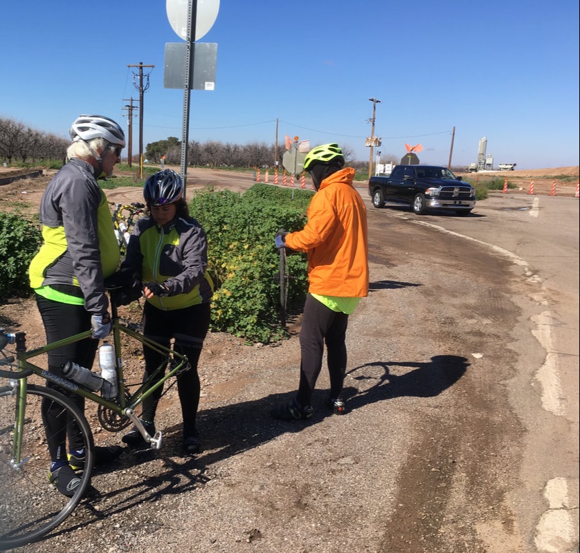
Fixing a flat
It seemed like a simple blow, but when we tried to fill up the spare it burst. So now, I had to patch the flat tire, which I did, and then we noticed a hole in the tire that bulged some when we put air in the tube. So, we just put in about 60 pounds (half of what I usually put in) and hit the road. A couple of miles later my tire was flat. I am now wondering if this is the end of my “continuous miles” from San Diego to St. Augustine. Maybe the issue is I damaged the rim. If so, I would have to take a SAG in for the day.
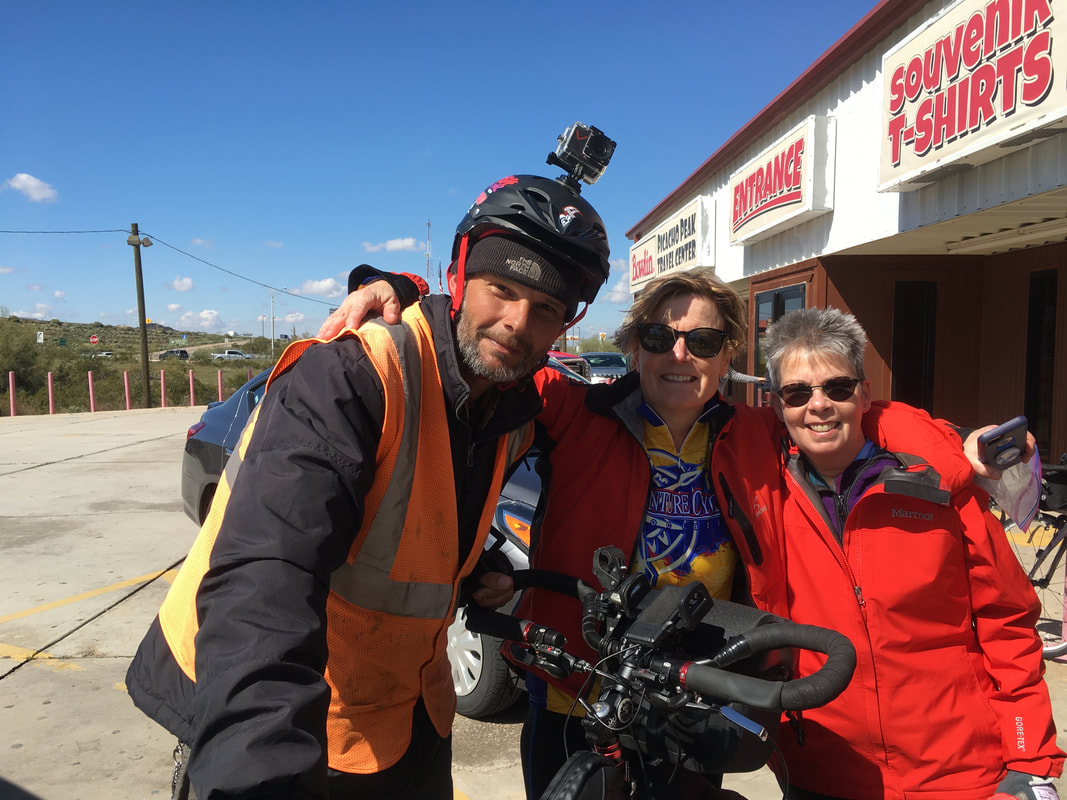
I called Patrick and he managed to meet Tim and I on the side of the road. By the way, since it is such a long day, we didn’t want to hold up the others, so they went ahead. I got out my spare tire and a new tube, installed them on the rim, and the tube wouldn’t hold air. What the heck. OK. Got another tube and it finally seemed to work. Patrick went ahead the 5 miles to the Shell station. My thought is that if I can make it to him 5 miles up the road, then I will make it to Tucson. Tim and I arrived at the Shell station with no problems, so Patrick went on the Tucson, and Tim and i continued on the route.
Meanwhile, at the gas station just up the road, the others met a guy riding his bicycle from Florida to California.
At this point we were only 6 miles from the rest of the group. We had a rest stop planned 17 miles ahead. I thought that we might make it to the rest stop as the others were pulling out, and that is exactly what happened. At this point Tim and I did need a rest, so they continued on as we sat in the McDonald’s parking lot eating our snacks in the sun (it is still pretty chilly in the shade).
About 20 minutes later we were back on the road.
About 20 minutes later we were back on the road.
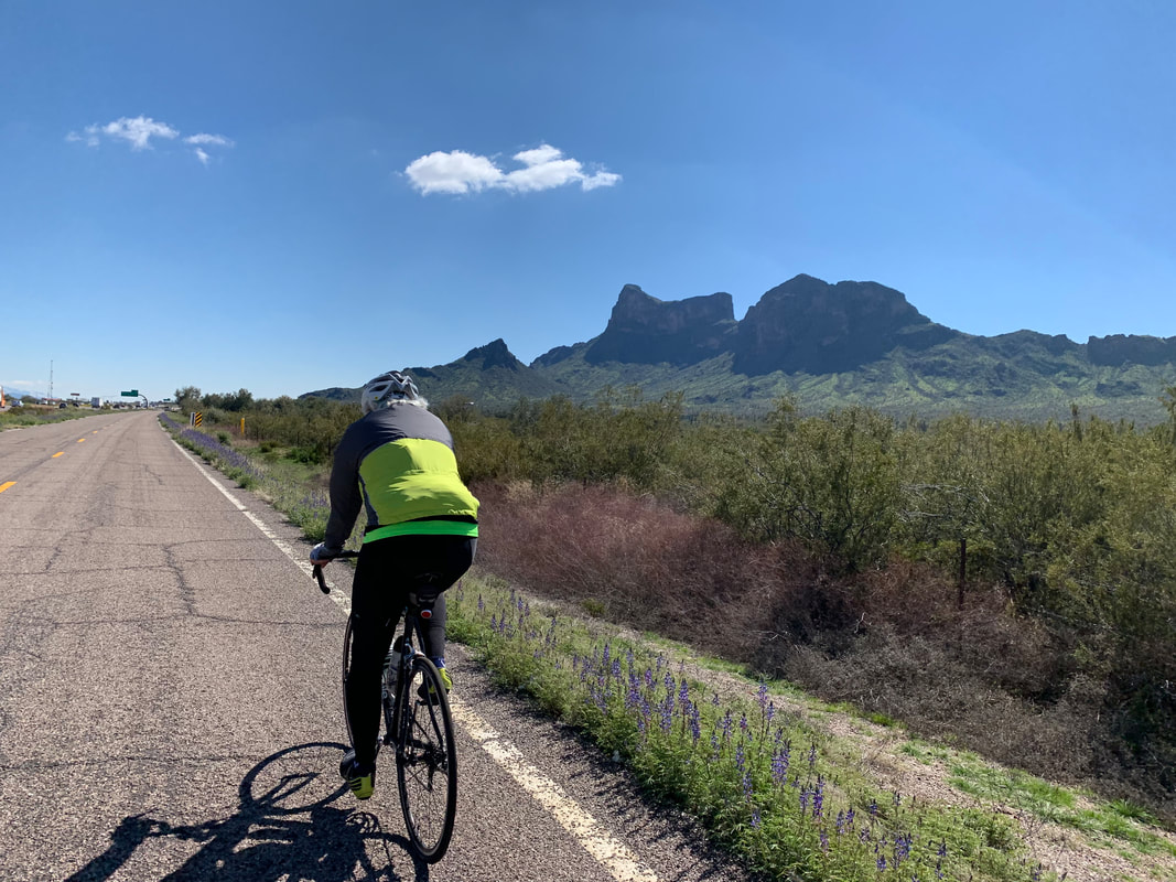
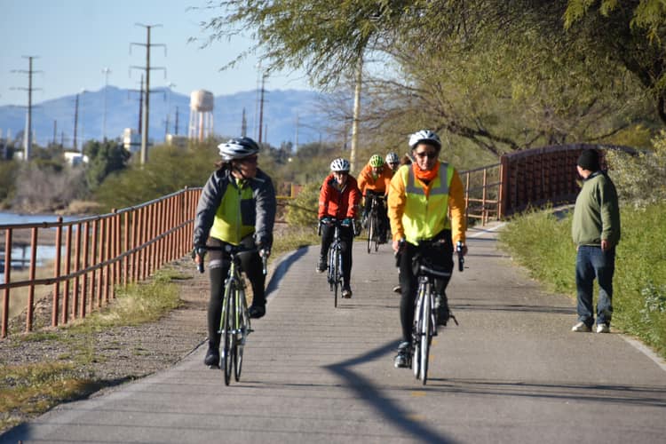
Incredible scenery
This part of the route takes us down to a bicycle path that we were all looking forward to getting on. The GPS was telling me the directions to go, but it was really confusing. We got on a really nice bicycle path, but I noticed that the path we were on didn’t seem like the path Google maps was telling us to be on. I used “Find my Friends” and saw that the group was just 0.7 miles ahead. We pedaled towards them, and noticed they were pedaling towards us. I winds up that this trail dead-ended on them and they had to turn around. I guess the good news is that the group is now back together again.
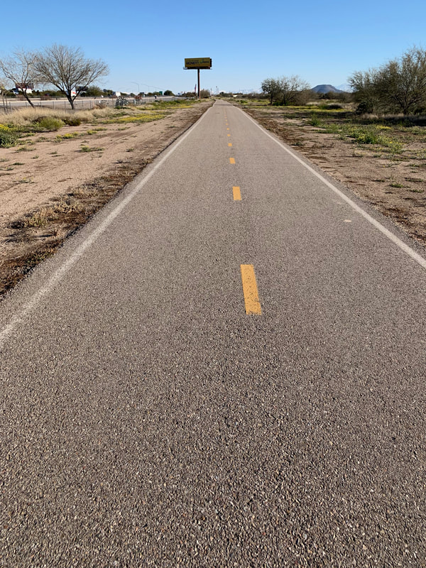
We all headed back the way we came and found the turn that we missed. We now continued on access roads along I-10 for a while and then we were back on a bicycle trail. Bicycle trails are really nice to ride on, but they are really hard to navigate using Google maps especially when the phone is in my pocket and I am trying to navigate just from listening to it. There are trails going left and right and straight and across streets and under tunnels and on and on and on are the problems with navigation.
We all headed back the way we came and found the turn that we missed. We now continued on access roads along I-10 for a while and then we were back on a bicycle trail. Bicycle trails are really nice to ride on, but they are really hard to navigate using Google maps especially when the phone is in my pocket and I am trying to navigate just from listening to it. There are trails going left and right and straight and across streets and under tunnels and on and on and on are the problems with navigation.
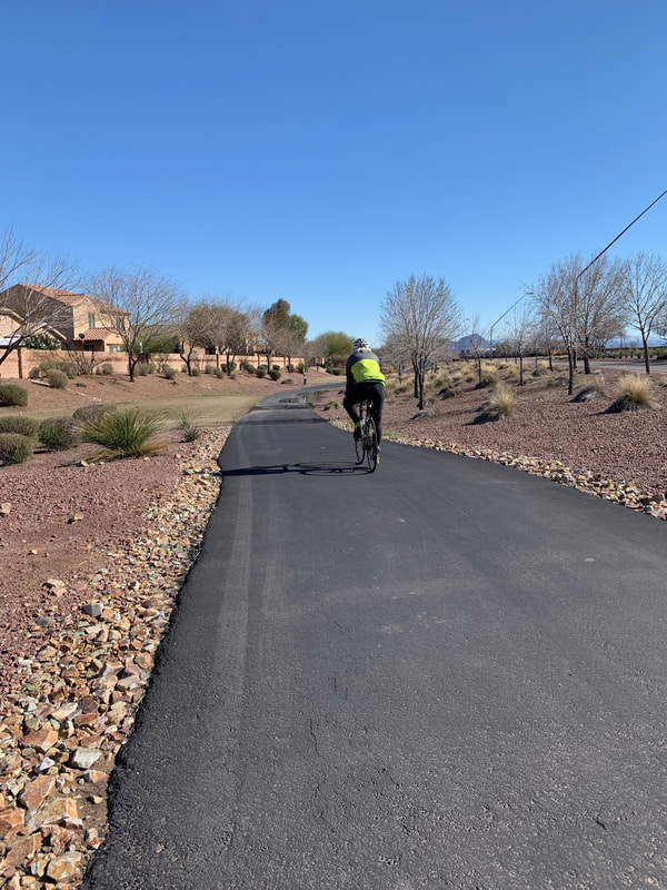 |  Awesome bicycle trail |
We made a couple more wrong turns, but eventually seemed that everything was OK. Seeing Patrick ahead of us proved that we were right. He surprised us by meeting us on the route to take these cool photos:
 Riding on the trail | 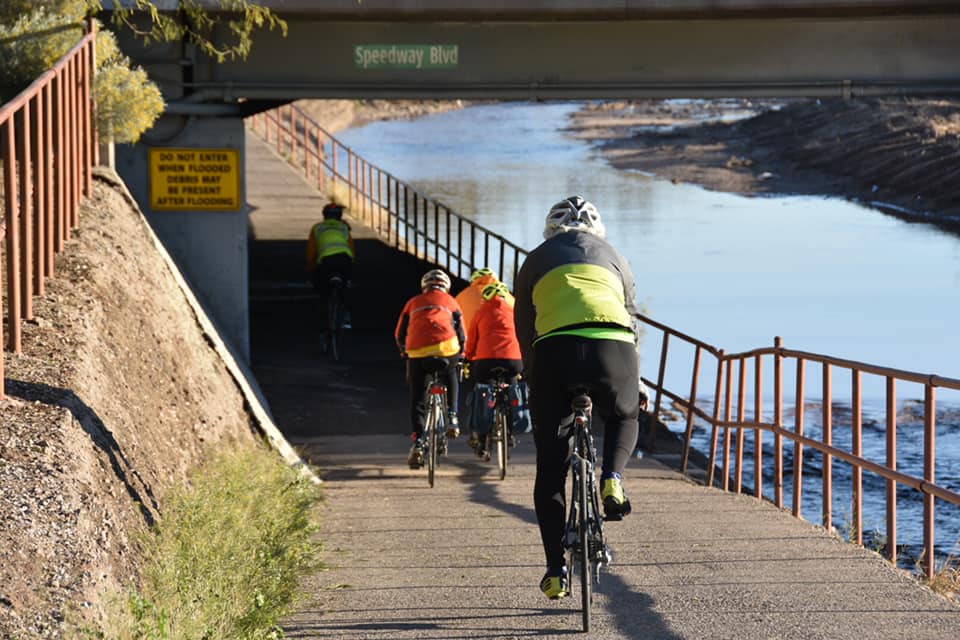 Approaching a tunnel on the trail |
Now it was around 5 PM and we had 10 miles to go. This darn bicycle path continued to give us problems. We finally popped out on a road and changed the setting on Google maps from bicycle route to car route and took roads in the rest of the way. We finally arrived at the KOA just after 6 PM. What a day!
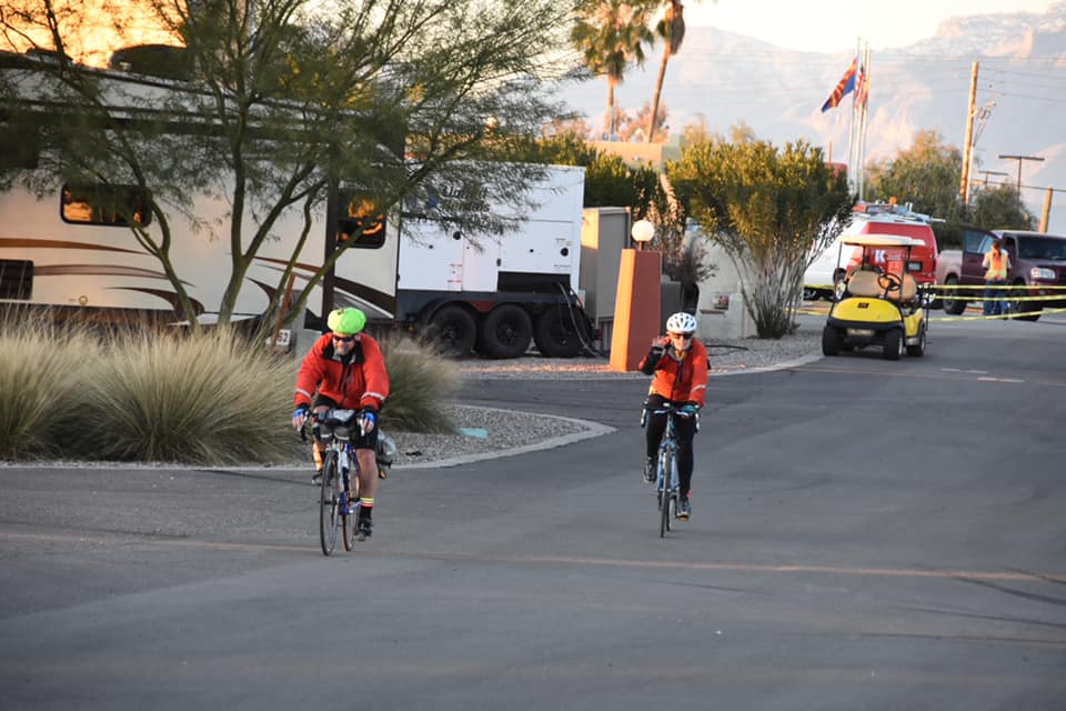 Jim and Jackie arriving | 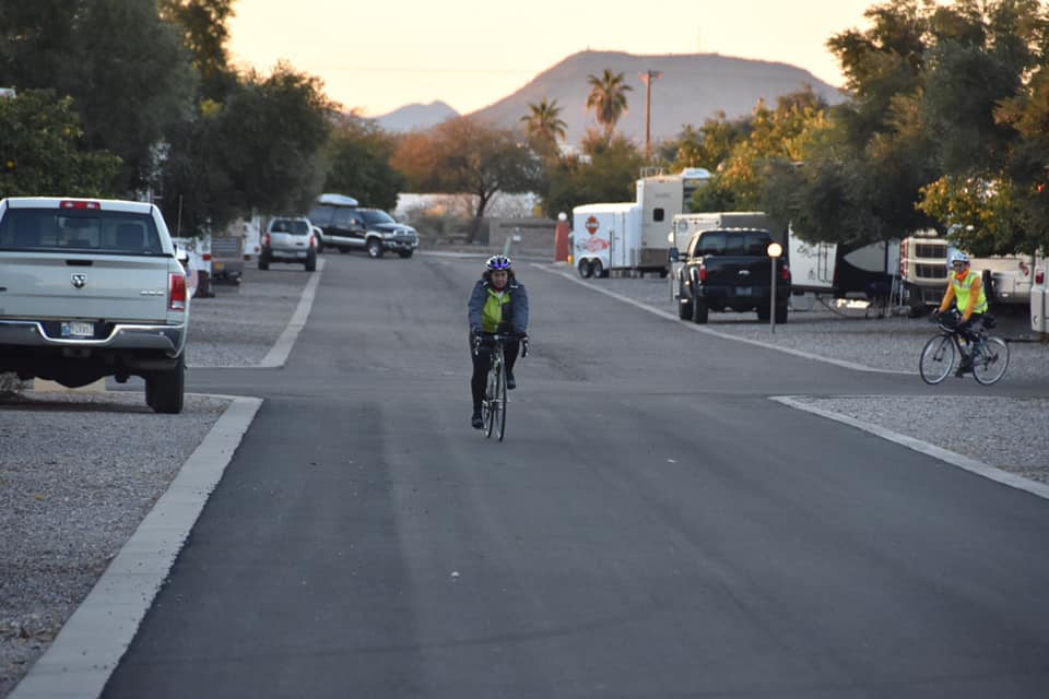 Gerri arriving |
Tim, Mary, Bill, and Mel arriving
As a bonus for the day, I have an old Air Force friend, Bob St. John, who lives nearby and offered to take Tim and I out for dinner. I couldn’t wait to see Bob. The last time I saw him was in 2000 when we were both stationed at Robins Air Force Base in Georgia. Shortly after we arrived at the KOA, Bob pulled in. It was great to see him! Tim and I quickly set up our tent, changed our clothes, and we were off for dinner. It was a great meal with great company.
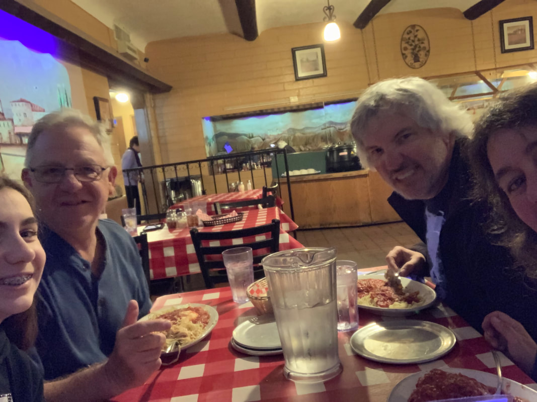 Dinner with Bob and his daughter Sophia | 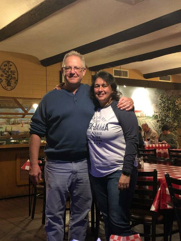 Bob and I |
We got back to the KOA and everyone was surprisingly still up. We discussed tomorrow (leave at 9 AM) and went our separate ways to our sleeping quarters. It is now 10:30 PM and it is 39 degrees. It is supposed to get down to 33 degrees tonight. Time to get into my sleeping bag and hopefully enjoy a cold night sleep.
 RSS Feed
