15 April 2018
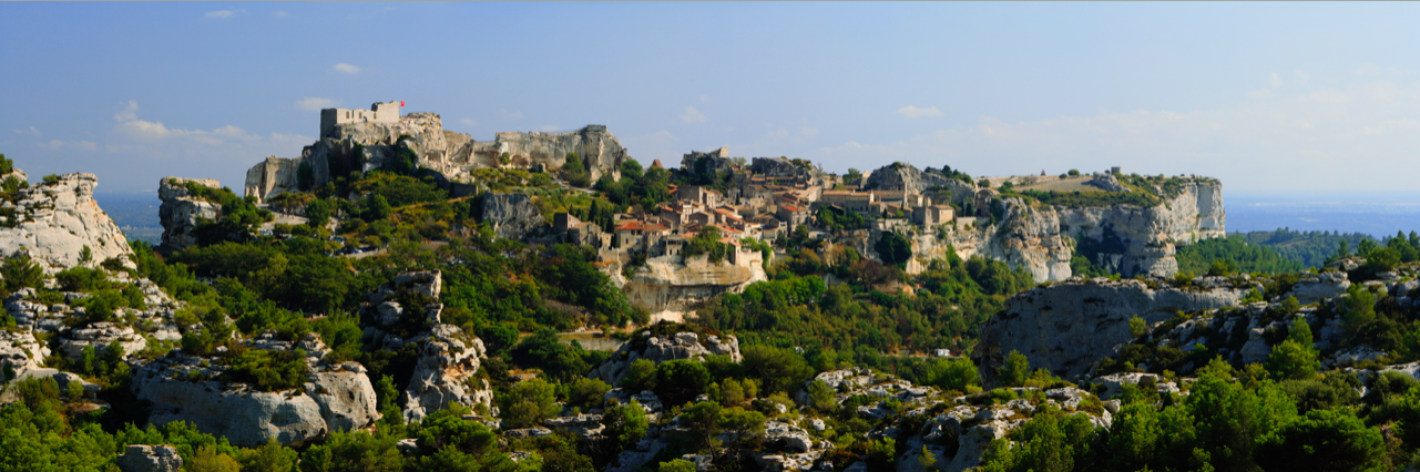
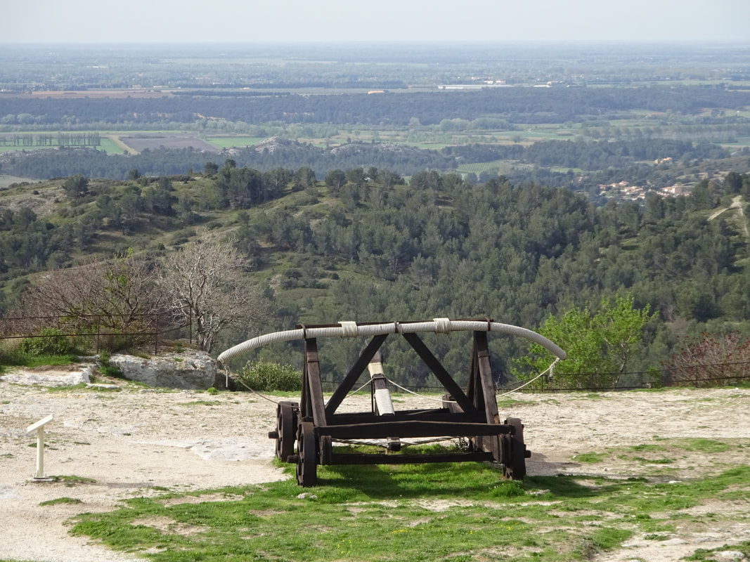
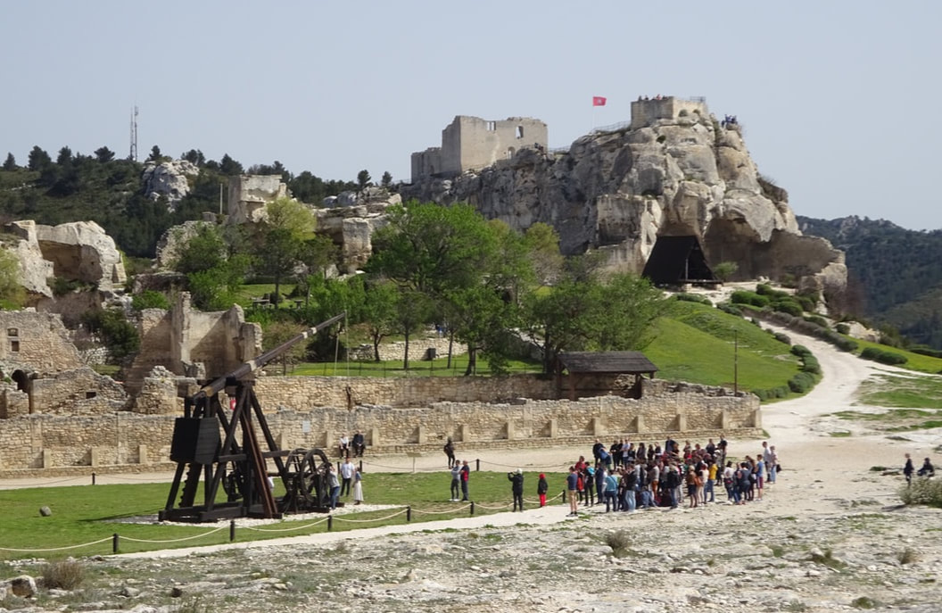
Les Baux-de-Provence is a French commune in the Bouches-du-Rhône department of the province of Provence in the Provence-Alpes-Côte d'Azur region of southern France. It has a spectacular position in the Alpilles mountains, set atop a rocky outcrop that is crowned with a ruined castle overlooking the plains to the south. Its name refers to its site: in Provençal, a bauç is a rocky spur. The name bauxite (Aluminium ore) is derived from the village name when it was first discovered there by geologist Pierre Berthier in 1821.
It has been named one of the most beautiful villages in France and has over 1.5 million visitors per year although it has only 22 residents in the upper part of the commune and 436 for the whole commune.
 |  |
 |  |
 |  |
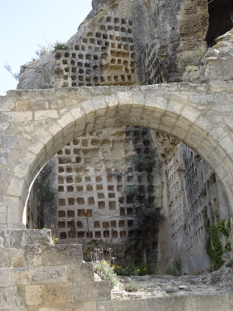 |  |
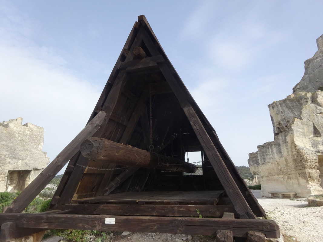
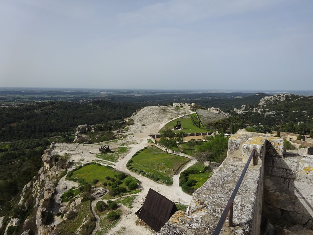
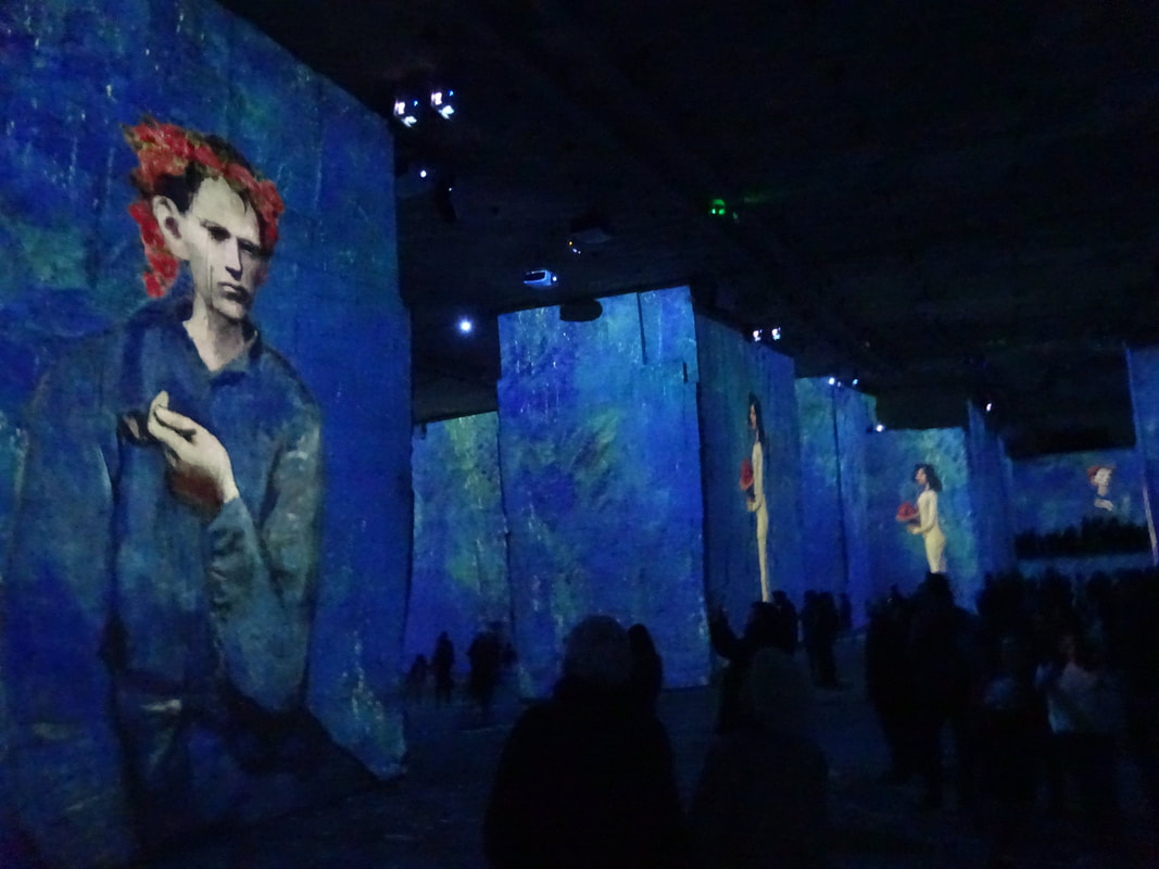
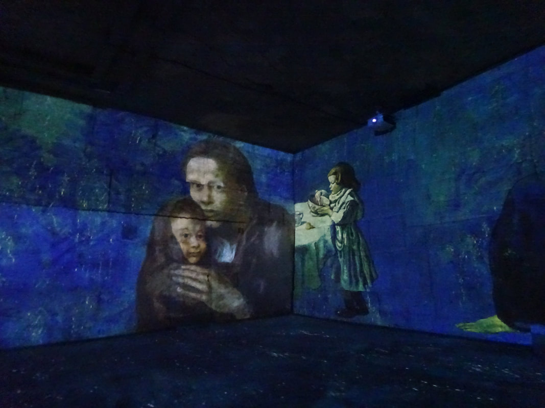
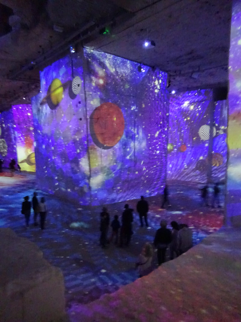
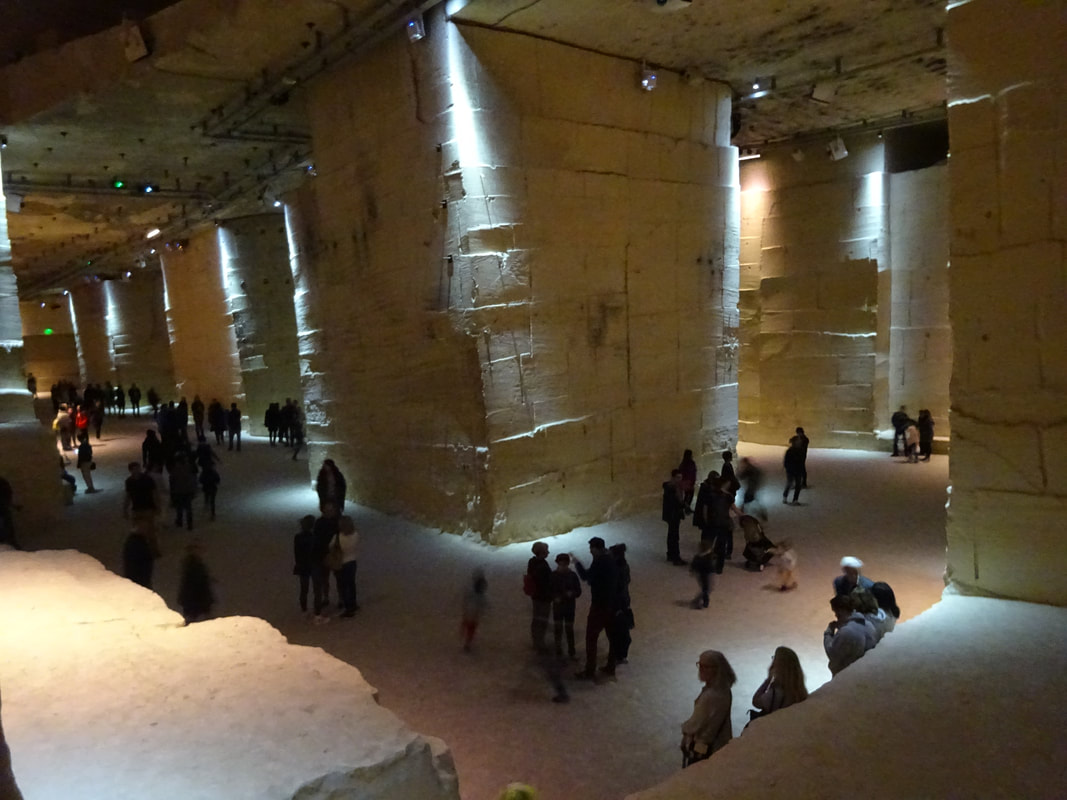
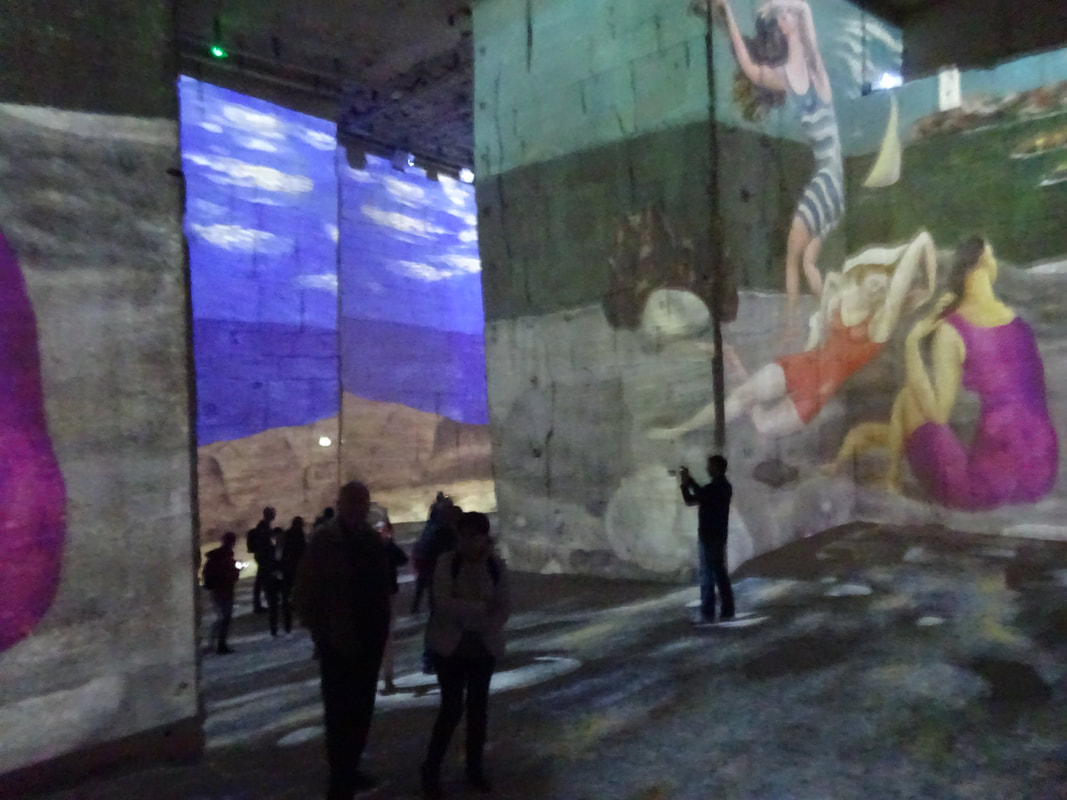
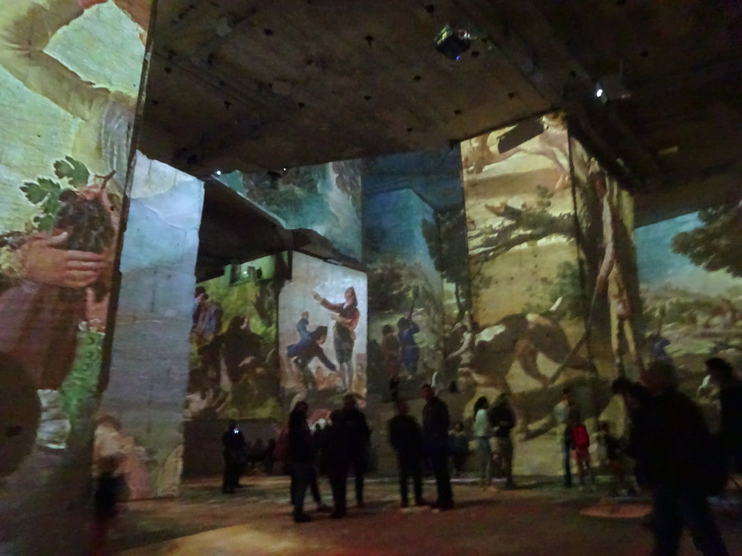
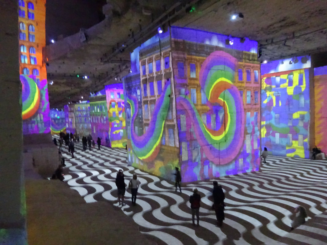
You might ask yourself...what's happening here?
 |  |
 |  |
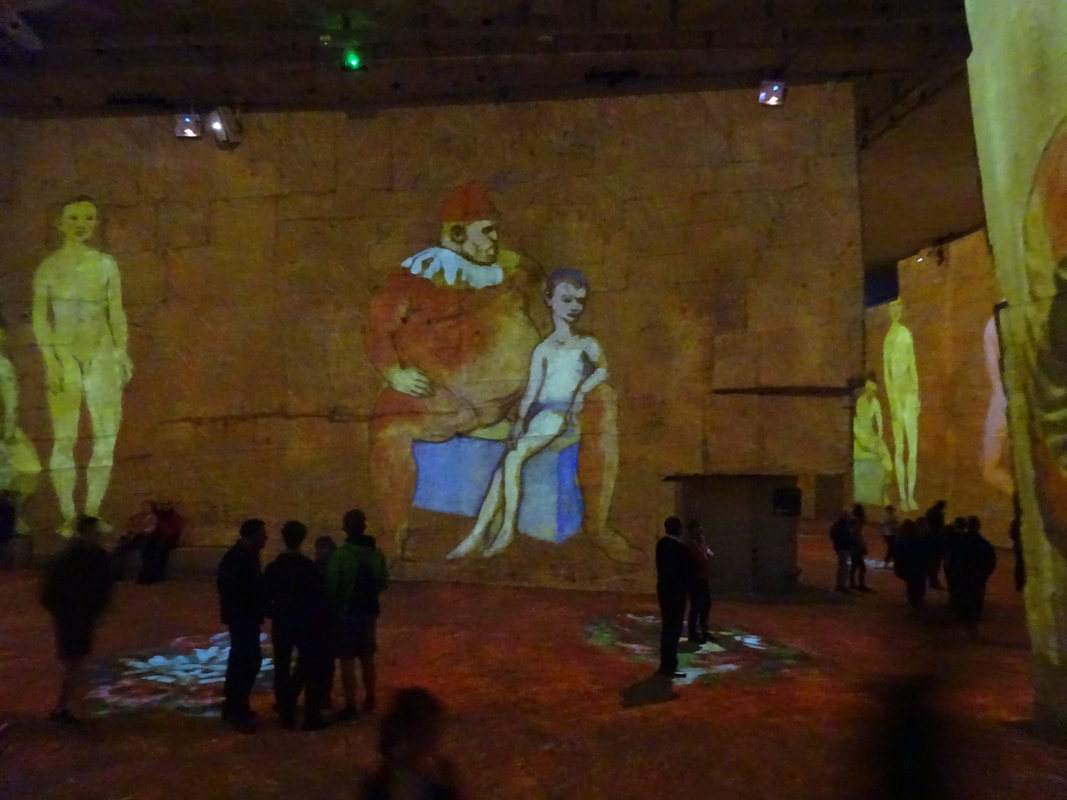 |  |
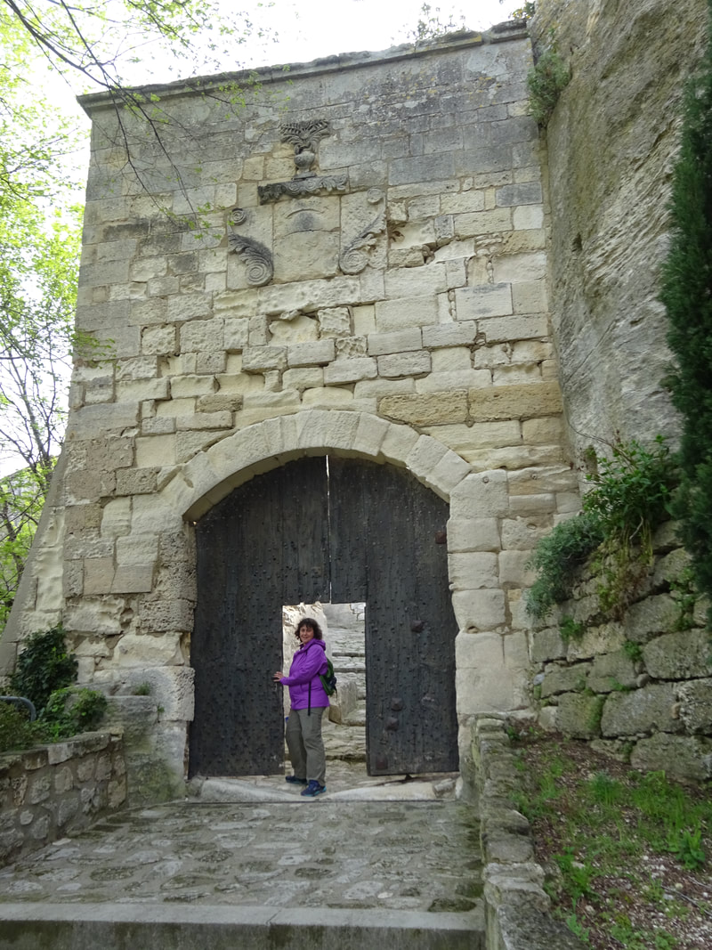
In a defunct subterranean limestone quarry, art displays are projected onto the walls, to the accompaniment of music. It is called "Carrieres des Lumieres". For us the site was convenient to our touring - we parked just outside, and initially toured the old village and ruined fortress, returning to finish with the Lumieres.
 |  |
 |  |
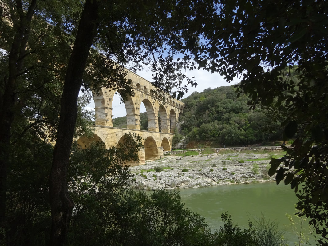
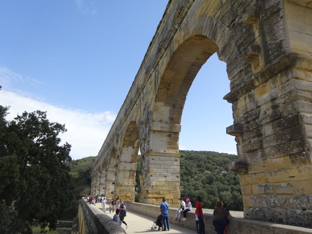
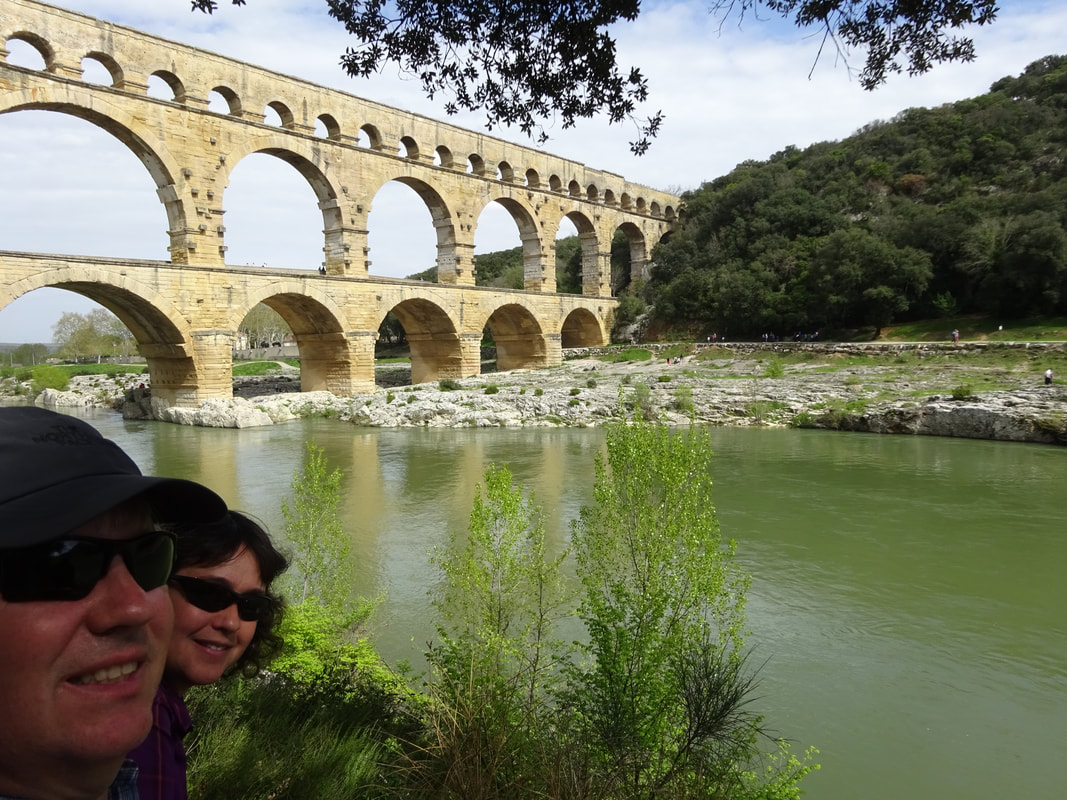
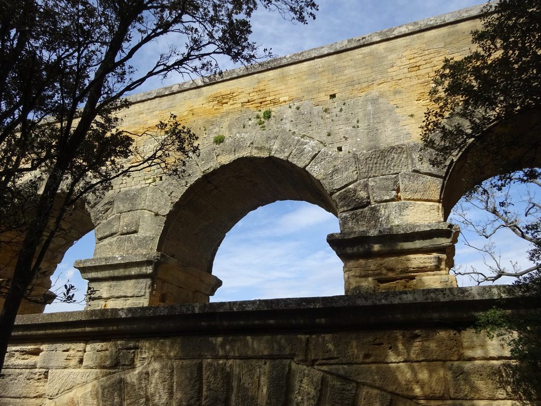
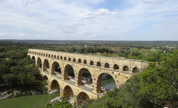
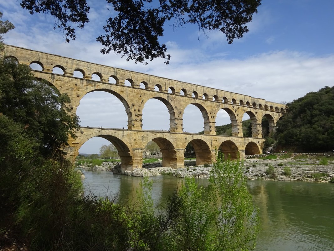
"The Pont du Gard is an ancient Roman aqueduct that crosses the Gardon River near the town of Vers-Pont-du-Gardin southern France. The Pont du Gard, built as three tiers of archways to bring water to the city of Nîmes, is the highest of all elevated Roman aqueducts, and one of the best preserved.
The aqueduct bridge is part of the Nîmes aqueduct, a 50-kilometre (31 mi) system built in the first century AD to carry water from a spring at Uzès to the Roman colony of Nemausus (Nîmes). Because of the uneven terrain between the two points, the mostly underground aqueduct followed a long, winding route that called for a bridge across the gorge of the Gardon River. The bridge has three tiers of arches, stands 48.8 m (160 ft) high, and descends a mere 2.5 centimetres (1 in) – a gradient of only 1 in 18,241 – while the whole aqueduct descends in height by only 12.6 m (41 ft) over its entire length, which is indicative of the great precision that Roman engineers were able to achieve using simple technology.
The aqueduct formerly carried an estimated 40,000 m3 (8,800,000 imp gal) of water a day to the fountains, baths and homes of the citizens of Nîmes. It may have been in use as late as the 6th century, with some parts used for significantly longer, but a lack of maintenance after the 4th century led to clogging by mineral deposits and debris that eventually choked off the flow of water.
After the Roman Empire collapsed and the aqueduct fell into disuse, the Pont du Gard remained largely intact, due to the importance of its secondary function as a toll bridge. For centuries the local lords and bishops were responsible for its upkeep, in exchange for the right to levy tolls on travellers using it to cross the river, although some of its stones were looted and serious damage was inflicted on it in the 17th century.
It attracted increasing attention starting in the 18th century, and became an important tourist destination. It underwent a series of renovations between the 18th and 21st centuries, commissioned by the local authorities and the French state, which culminated in 2000 with the opening of a new visitor centre and the removal of traffic and buildings from the bridge and the area immediately around it. Today it is one of France's most popular tourist attractions, and has attracted the attention of a succession of literary and artistic visitors."
 |  |
 |  |
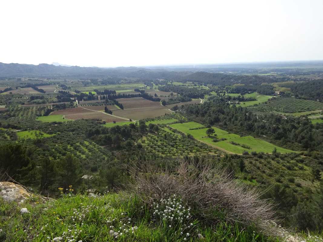
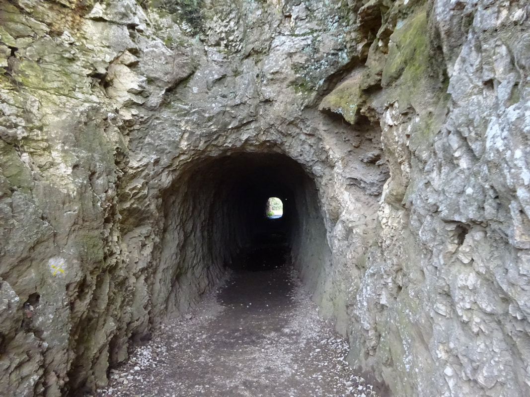
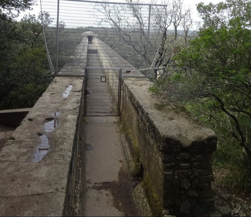
A moderately strenuous hike to the higher ground above gives more spectular views, as well as a look at a portion of the aqueduct tunnel. The narrow channel shown below is the top of the bridge where the water flowed downward (that whole inch in its length).
 |  |
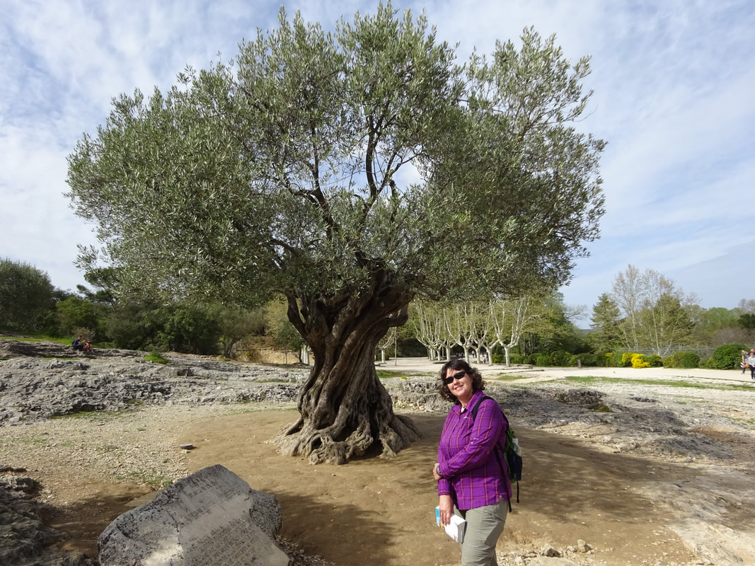
Olive trees can grow for over 2,000 years - did this example witness the construction of this amazing structure?
 |  |
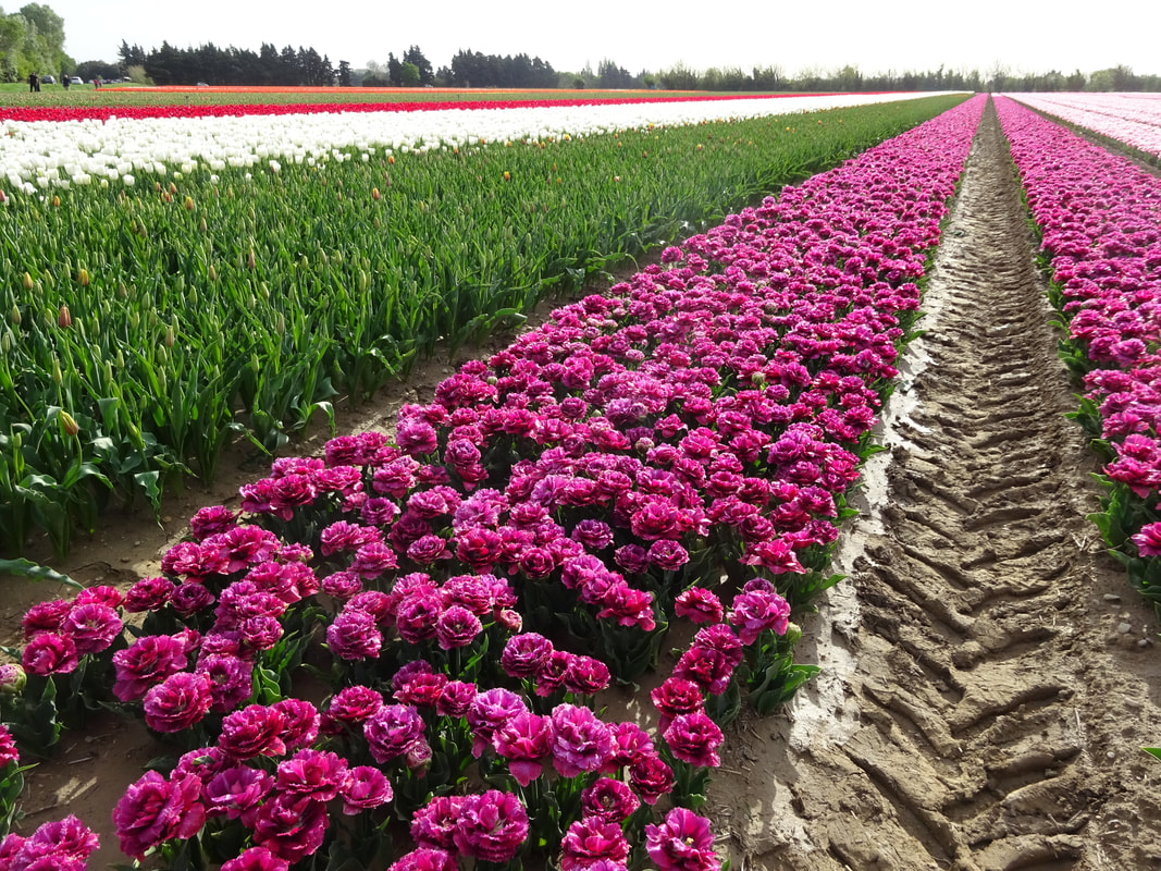
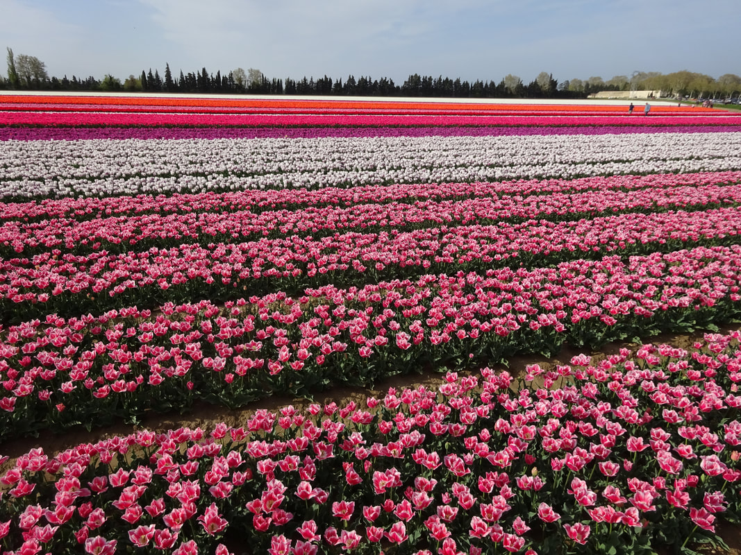
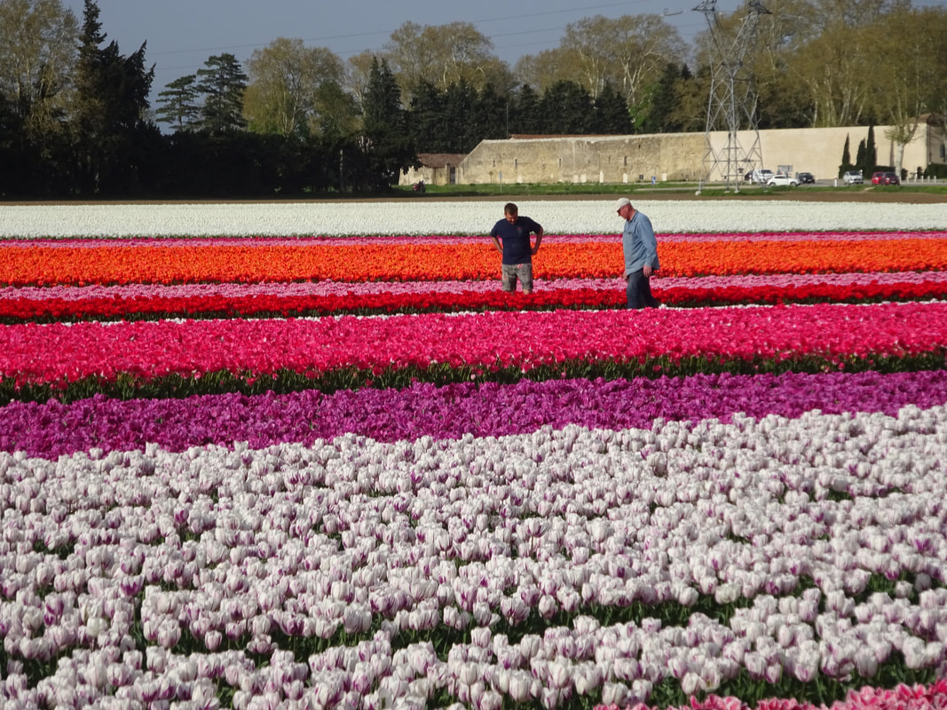
On the way to the BNB lodging, we happened across these extensive tulip fields. We were fortunate, as the next day the most of the blooms were literally shaved off and the plants harvested for their bulbs. We left the area driving back past the fields and most all the color was gone.
 |  |
 |  |
 |  |
 |  |
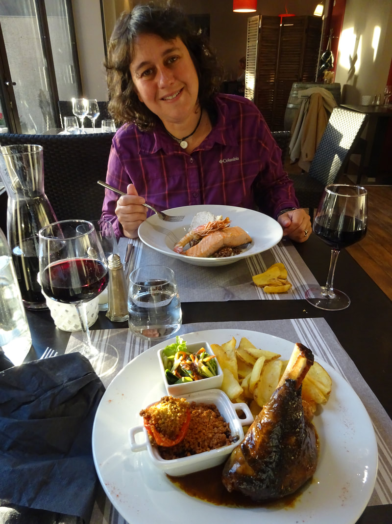
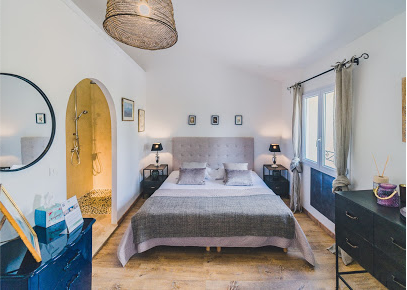
We then checked into a BNB called Maison Sadina nicely run by the male proprietor who arranged for a reservation for us at a restaurant called Côté Terrasse in Séguret (BNB less than a mile west of the restaurant).
 |   |
 RSS Feed
