Campsite at Mile 755.28 to Crabtree Meadows Ranger Station
Last night was awesome except for my air mattress kept needing air. I filled it 3 times last night. I just can't figure out if it is a slow leak or if it is the change of temperature throughout the night that is making it deflate some. See...that's the thing. It deflates to a point and then stops deflating...so weird.
I woke up right at 6:00 AM and was the first out of the tent. However, I was the last to be ready to leave because I am still having a hard time figuring out how to pack my bag with the bear canister...I really don't like this thing.
Finally, we were ready to hike just before 7:30 AM.
I woke up right at 6:00 AM and was the first out of the tent. However, I was the last to be ready to leave because I am still having a hard time figuring out how to pack my bag with the bear canister...I really don't like this thing.
Finally, we were ready to hike just before 7:30 AM.
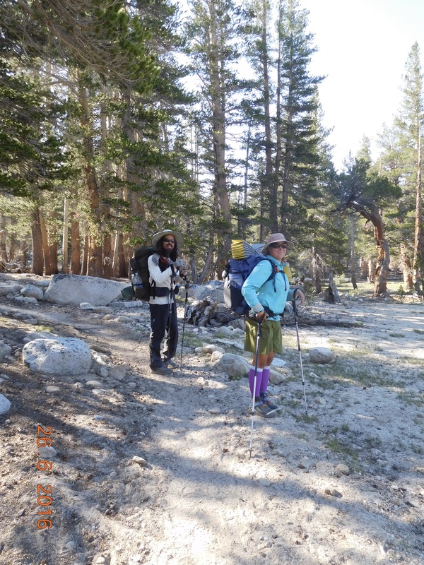
Ready to hike
Today we were all excited to get going because we are hiking to the base of Mount Whitney. The other cool thing about today's hike is that we only have to hike 12.25 miles, so we should be able to get there pretty early. However, with this view as we hike, why hurry?!?
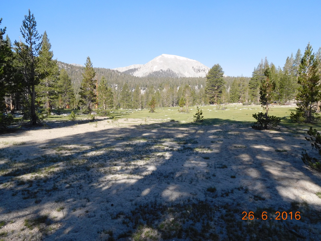
Amazing view.
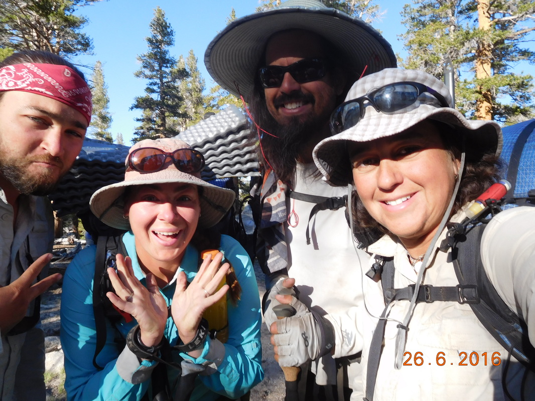
Check out Brad and Share Bear enjoying the view.
Staring in amazement.
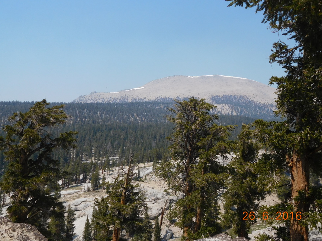
In case that view wasn't good enough, we came across this view just 30 minutes later:
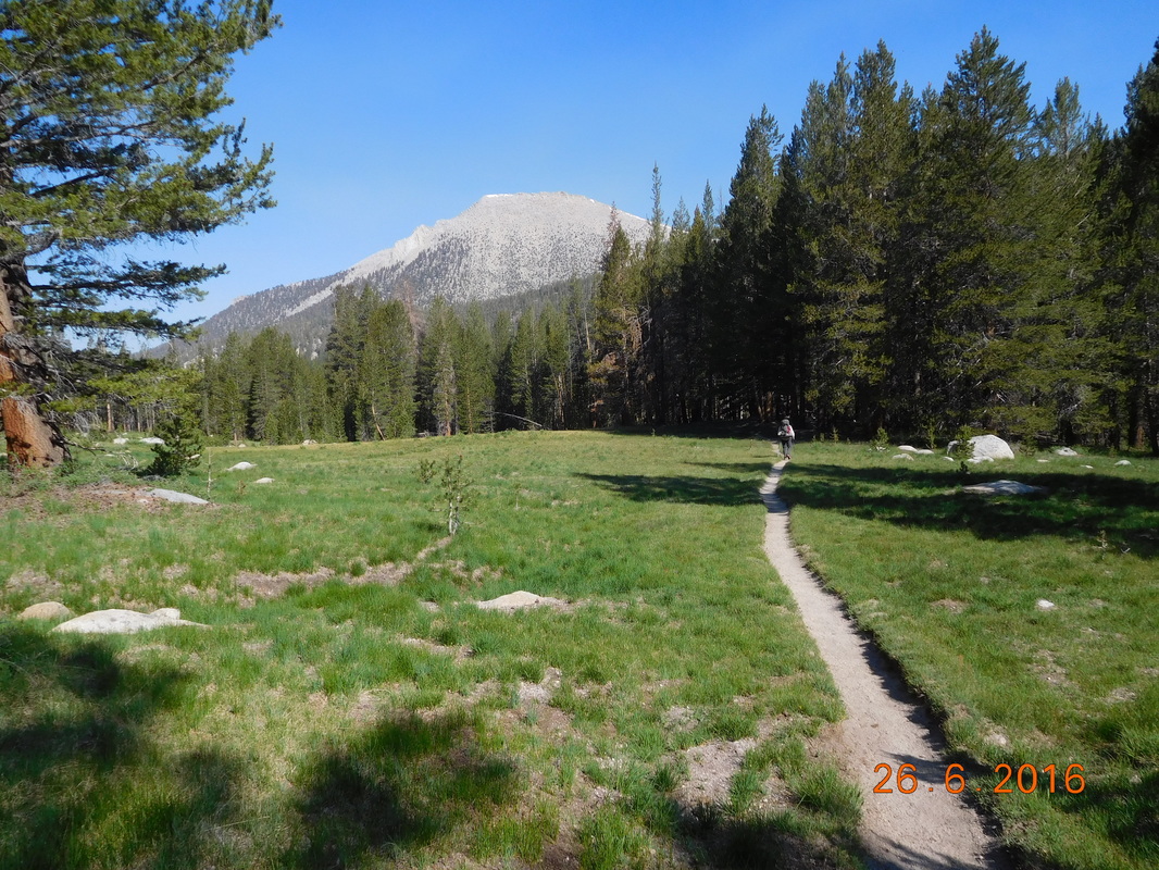
Postcard perfect.
One of the things that worry me about this part of the hike through the Sierra is the river crossings. Some of the rovers are raging and difficult to cross. Today we had our first Sierra river crossing of Rock Creek. Luckily it was calm enough that we could walk barefoot across it safely.
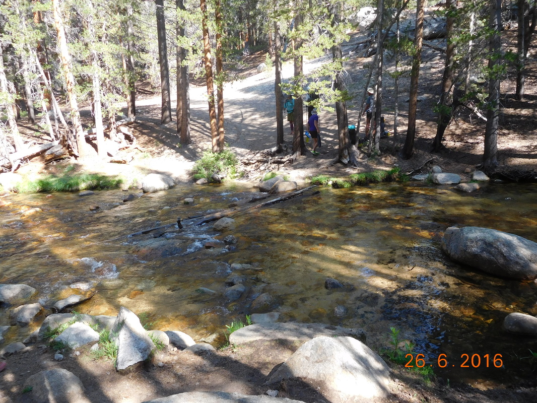
Our first river to ford.
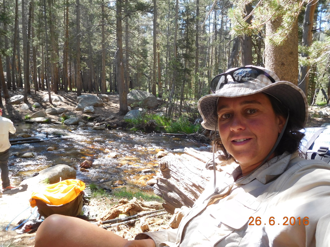
Seif-portrait "Drying out after ford of Rock Creek."
Just after leaving Rock Creek we saw two deer hanging out in the forest. They were pretty docile allowing me to actually get a photo of one of them:
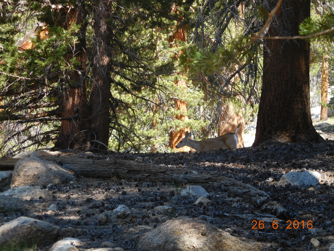
Deer sighting.
We then had the hardest climb of the day. The climb was 2.5 miles and gained 1,422 feet. Wow...it was hard, but we still managed to climb it averaging 2 miles per hour which we were all very proud of.
At the top of the climb we stopped for lunch for almost 2 hours and then were ready to hike the last 4.57 miles to the base of Mount Whitney. As we we are coming to understand, the scenery here was just incredible.
At the top of the climb we stopped for lunch for almost 2 hours and then were ready to hike the last 4.57 miles to the base of Mount Whitney. As we we are coming to understand, the scenery here was just incredible.
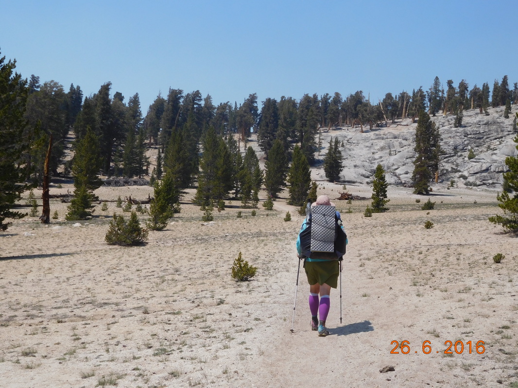
Headed towards Mount Whitney.
Finally, after hiking for one hour we got an awesome view of the mountain.
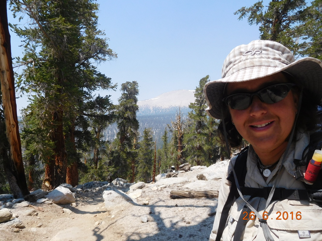
Self-portrait "Mt Whitney in background"
I can't believe we will be hiking up to the top tomorrow!
View of Mount Whitney
The crazy part of this hike is that we had to drop over 900 feet to get to the base. At the bottom of the drop was a cool wooden gate:
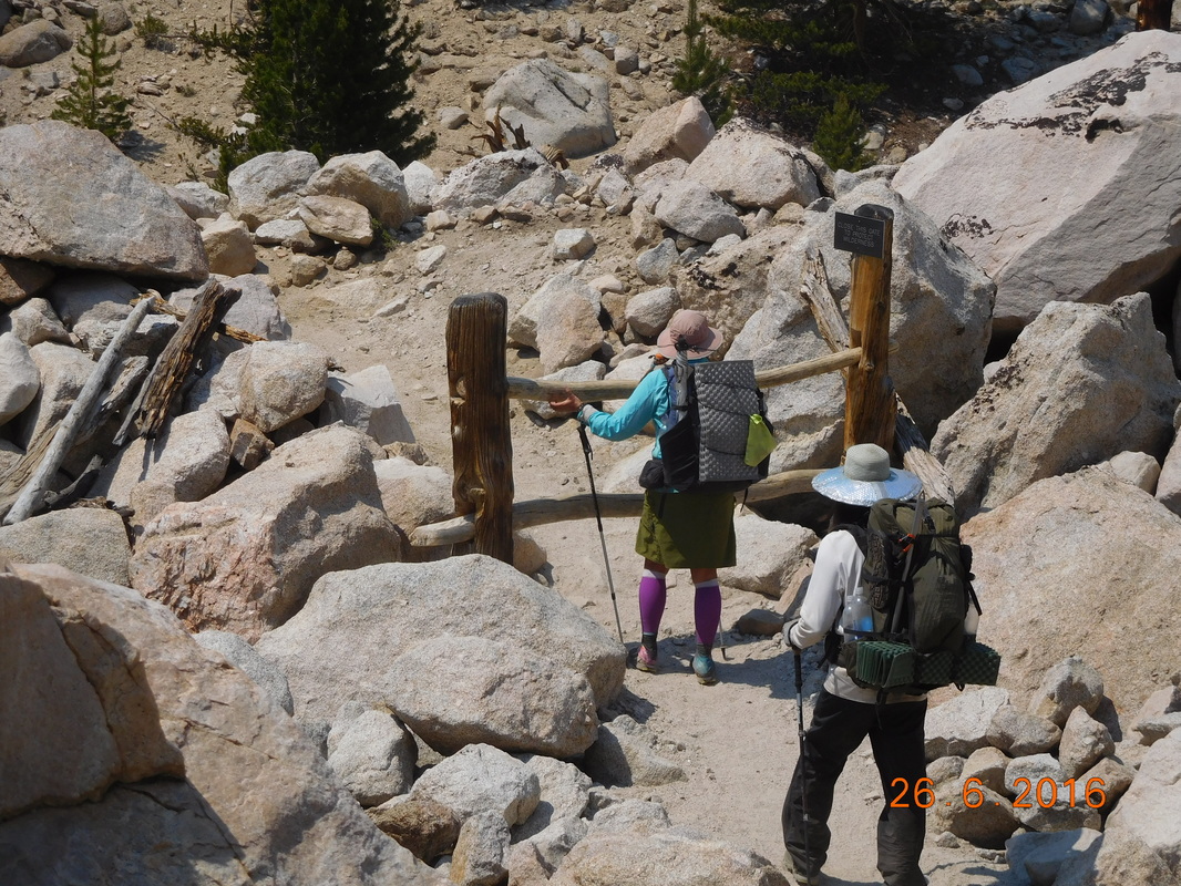
Share Bear figuring out the gate.
Just when we thought we were almost there, we reached a river log crossing. Audible went first and didn't make it look easy, followed by Brad, me, and then Share Bear.
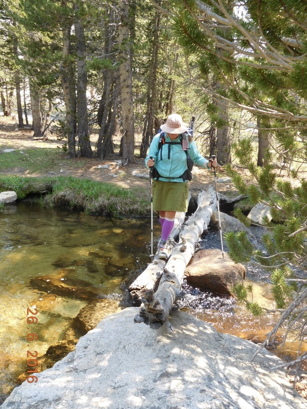
Share Bear crossing a log.
Finally, right at 3:00 PM we arrived at Lower Crabtree Meadows. Many people were camped there, but from doing research I knew that the best place to camp was by the ranger station, plus, it puts us 1.2 miles closer to the peak for tomorrow's hike.
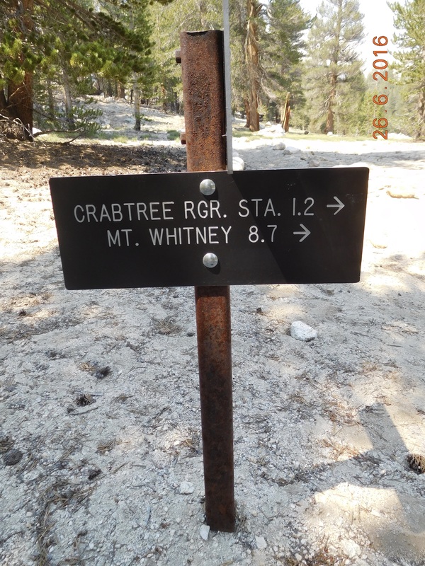
Only 1.2 miles to go.
Of course the 1.2 miles was a steep climb up, but we were following Whitney Creek so it was beautiful.
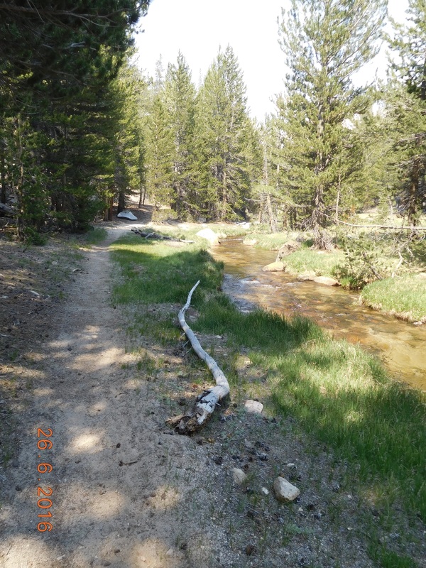
Whitney Creek along the trail.
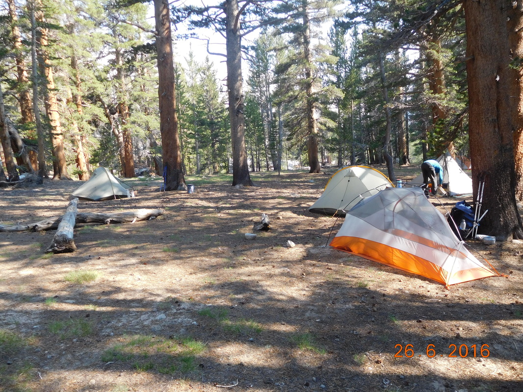
After fording Whitney Creek (it was safe crossing barefoot), we arrived at Upper Crabtree Meadow where we pitched our tents and enjoyed the early arrival just after 4:00 PM.
We talked to some people that had climbed Mount Whitney today and they said it was incredible. We saw Sunshine as she just finished the climb. She said that it was her favorite day on the trail so far. Wow...tomorrow should be incredible.
With that said, I better get to sleep since we are waking up at 5:00 AM to hopefully start the hike before 6:00 AM. Stay tuned, because tomorrow's blog should have some amazing photos.
With that said, I better get to sleep since we are waking up at 5:00 AM to hopefully start the hike before 6:00 AM. Stay tuned, because tomorrow's blog should have some amazing photos.
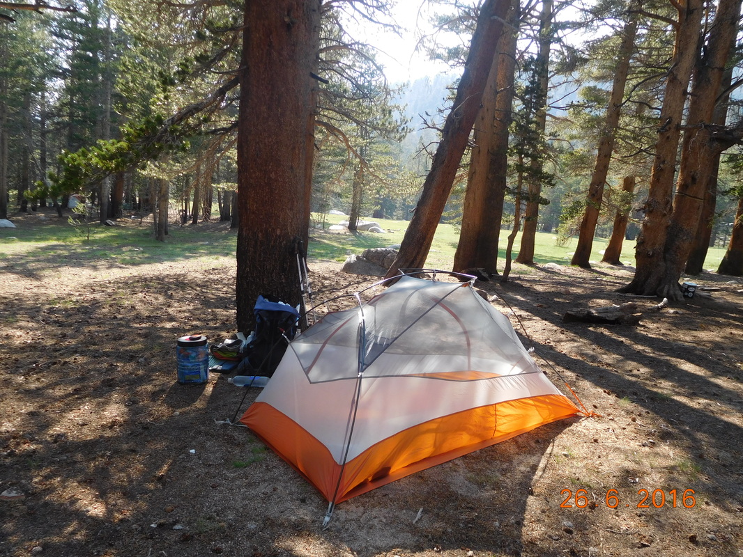
Camping at the base of Mount Whitney.
 RSS Feed
