Mariah Country Inn, Mojave, CA to Highway 58 (Staying at Mariah Country Inn, Mojave, CA)
We slept in till 8:30 and quickly got dressed so we could eat the complimentary breakfast in the hotel. Unlike yesterday, I have things to do today. I have to do laundry, shop and pack food for the next 9 days on trail, figure out the water situation coming up, and hike 8 miles. There is 8 miles between Tehachapi-Willow Springs Road and Highway 58 that I want to get done today because if I don't, then there is a 25 mile stretch without water. If I do this section today then there will only be a 16 mile stretch that I could do in one day.
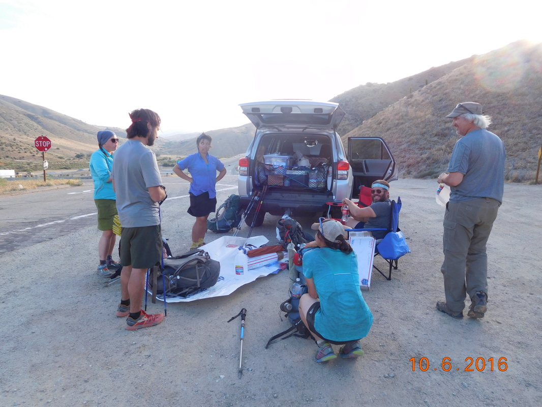
When I told the others that Tim was going to support me for the 8 miles and that I could slack pack, they all jumped on board and decided to join me. We met at the trail head at 2:30 and everyone emptied their bags into the 4Runner and happily were ready to hike at 2:47 PM:
When I told the others that Tim was going to support me for the 8 miles and that I could slack pack, they all jumped on board and decided to join me. We met at the trail head at 2:30 and everyone emptied their bags into the 4Runner and happily were ready to hike at 2:47 PM:

Heidi, Kennan, Max, Kate, Mighty Mouse, and Share Bear are ready to slack pack.
At the trailhead was this sign that made me laugh "The Pacific Crest Trail - Hike a Mile or Two-Thousand" or 2,664.
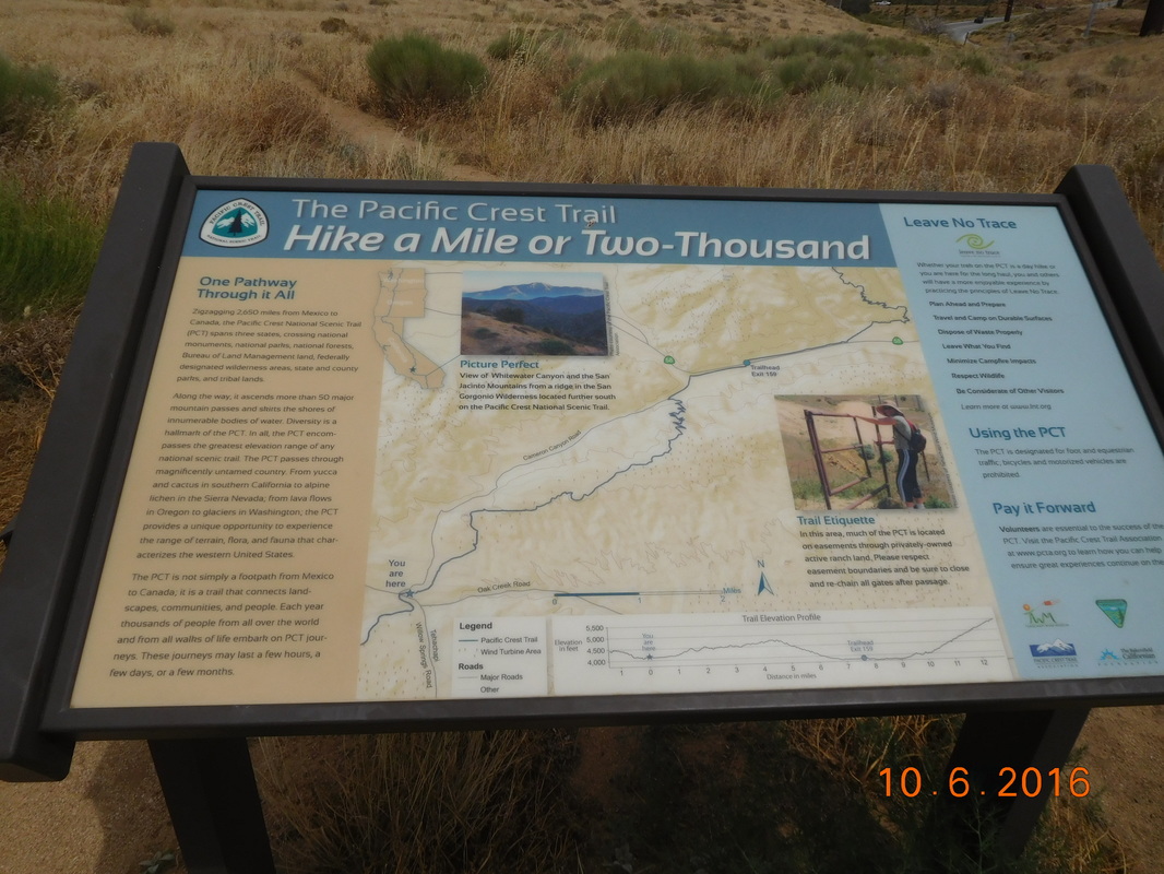
Fun headline.
Another day of hiking through a wind farm. It was cool for the first few days, but I'm almost over it.
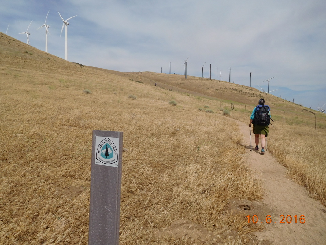
PCT sign of the day with Share Bear and Wind Turbine
While on the trail this Mexico - Canada sign was hanging on a barbwire fence. Who is responsible for putting this sign up? We don't know, but it is pretty cool.
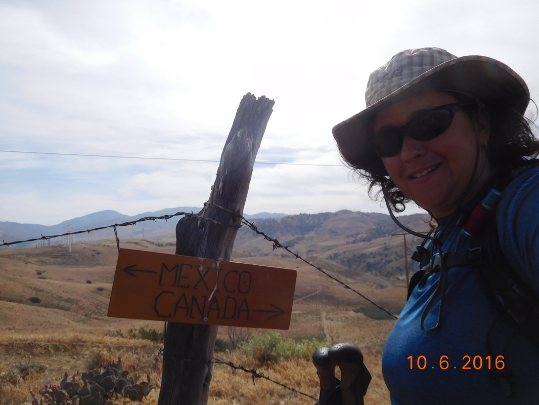
Self-portrait "Mexico - Canada"
The scenery remains pretty incredible in these short 8 miles.
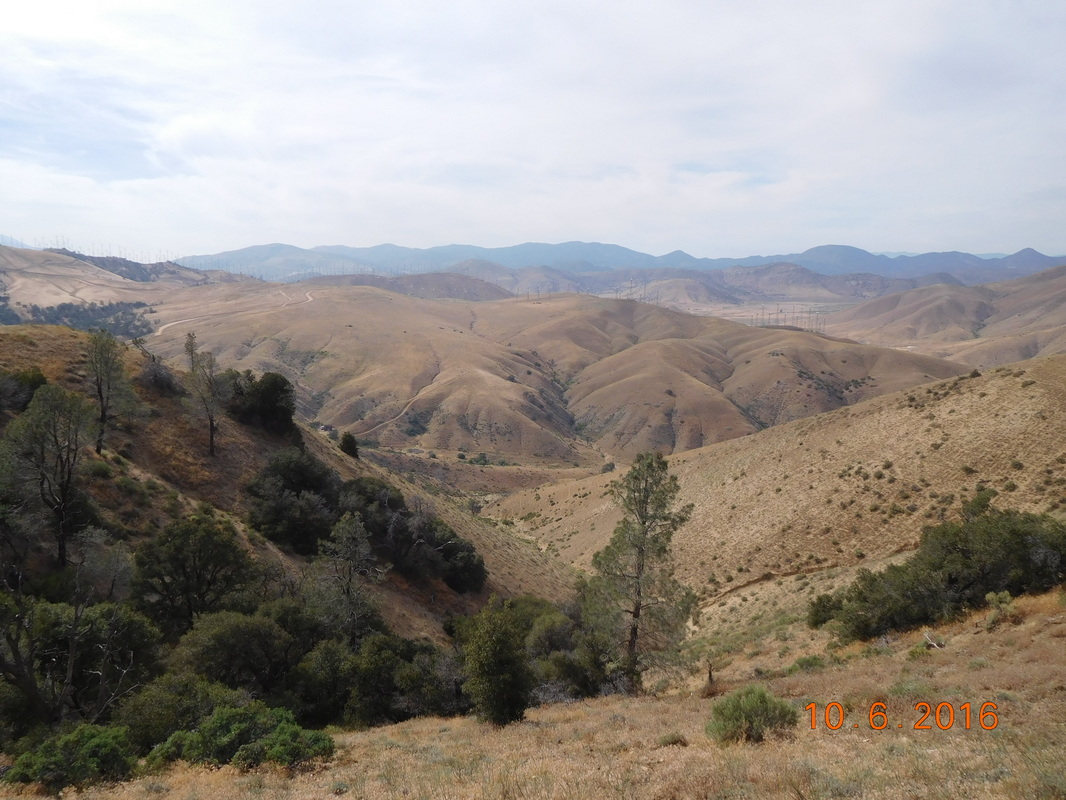
Desert mountains.
Can you believe in the middle of the hike we came across an actual bench. We had to all take a moment and try it out.
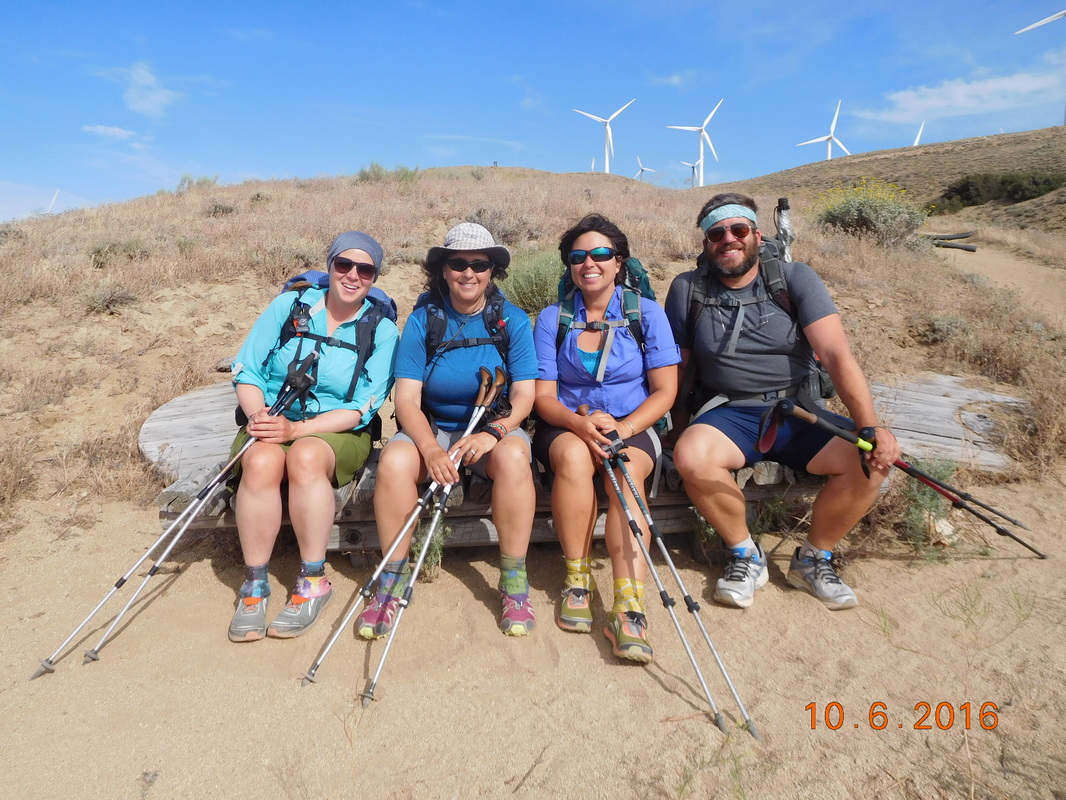
Share Bear, Mighty Mouse, Kate, and Max chilling on the bench.
This trail today is pretty cool. There were a couple of bridges like this in the 8 miles:
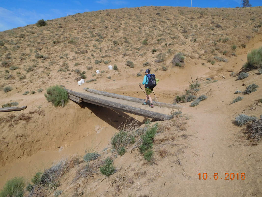
Share Bear crossing a bridge.
More amazing scenery still with wind farms in the distance:
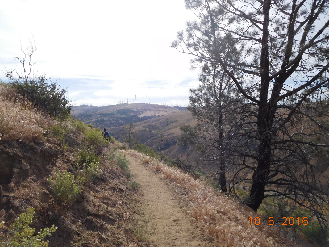
Nice!
Finally, right at 6:00 PM we made it to Highway 58 and Tim.
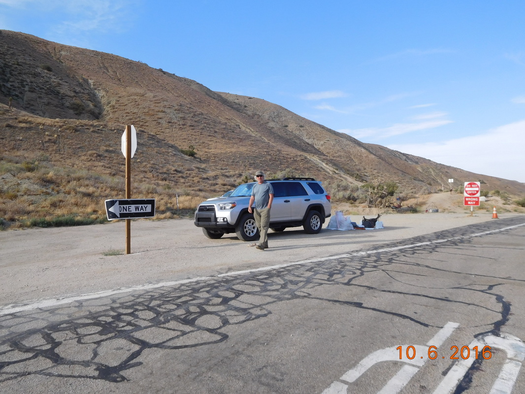
Before we got there he had laid out everyone's gear and food to make it easy for everyone to repack their bags. There was also water for everyone to refill their water bottles.
Everyone getting their gear together.
After everyone had their stuff together they headed onto the trail. You see, I will be going back to a hotel today with Tim, but the others will be staying on the trail to save money. I plan to be at the trailhead around 7:30 AM tomorrow and will catch up to the rest during the day.
Oh...one issue did occur today. About 5 miles into the hike I realized that I left my SPOT (emergency beacon device) on the hood of the car. I knew that there was a good chance I would be able to find it, but it was still worrisome. When I got to Highway 58 I went to the SPOT website and saw that someone took it to Tehachapi. You see....I turned it on to record the start of the hike and it remained on. With it on it records its location every 10 minutes or so. On the SPOT website I can see the location of it and it shows it in Tehachapi. I went on the PCT website and saw a post that someone found a SPOT and took it to Tehachapi with them. I replied it was mine and arranged to meet him in town.
Tim and I drove to Tehachapi and met them at a restaurant and got the SPOT back. We decided to join them and stay for dinner. It all worked out since I got to meet a cool group of hikers.
We arrived back at the room around 9:00 PM, did the laundry, and am now blogging at 11:45 PM. It is time to get to bed if I am really going to be back on the trail at 7:30. Tomorrow the plan is to hike 16 miles, so I need a good nights sleep. Luckily I get to have it in a comfortable hotel room in a comfortable bed.

 RSS Feed
