Guffy Campground to Campsite at Mile 377.01
Last night was freezing, even sleeping in the 4Runner. Although it was cold, it was surprisingly comfortable. In the future, I would consider sleeping there instead of pitching a tent.
We waited a bit till seeing the sun peeking through the trees, so we didn't leave the truck until around 7:30 AM. There was another thru-hiker that showed up last night, so I invited him over for a cinnamon roll and fresh fruit for breakfast which he accepted. "Hero" said that he has been hiking extremely long days and his body was exhausted. I suggested to him that he listens to his body and slow down and smell the flowers. He said that he agreed and would try. I have little hope he will.
Today I am able to slack pack the entire day. I don't even have to carry meals since Tim is going to meet me for lunch and dinner.
I left for the hike at 9:15 AM. I have 5.04 miles to get to Inspiration Point where we are supposed to eat lunch. Since I was slack packing I figured I could average 2.5 miles an hour, so I told Tim to meet me there around 11:15 AM.
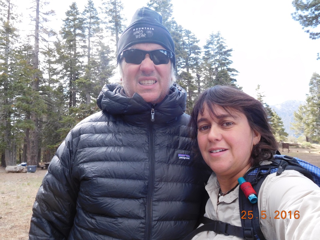
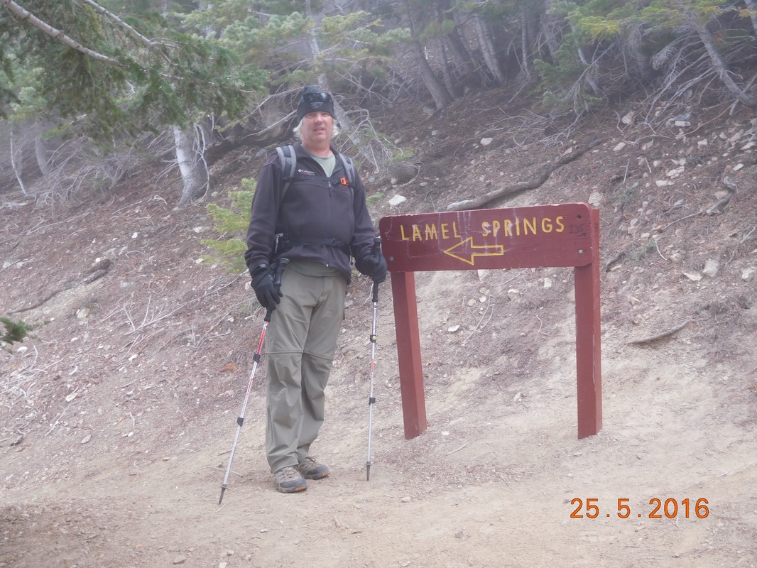
Ready for the day
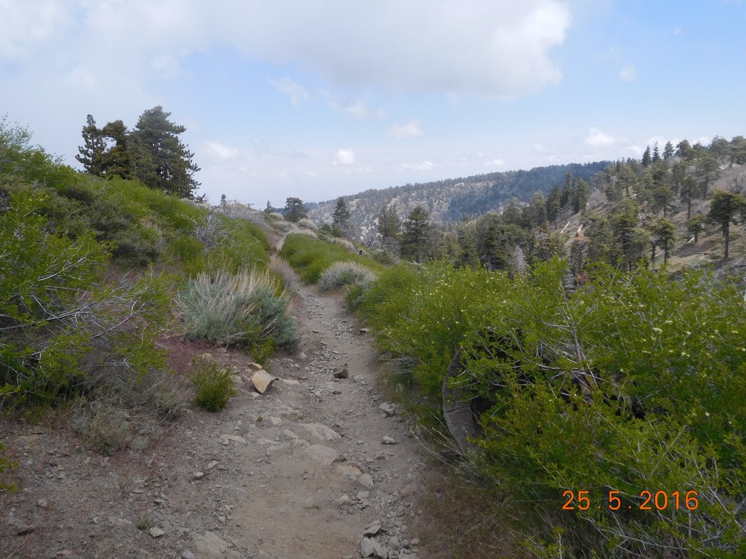
The day started out with blue skies, but I didn't expect it to last since there were low clouds in the valley below.
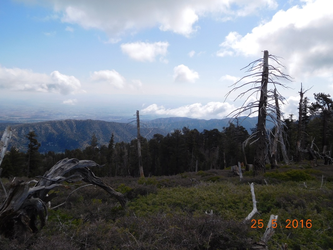
Beautiful blue skies to start the day
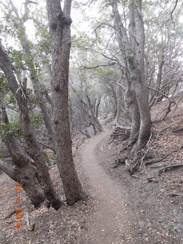
After hiking through a clearing, I entered a pine forest...my favorite.
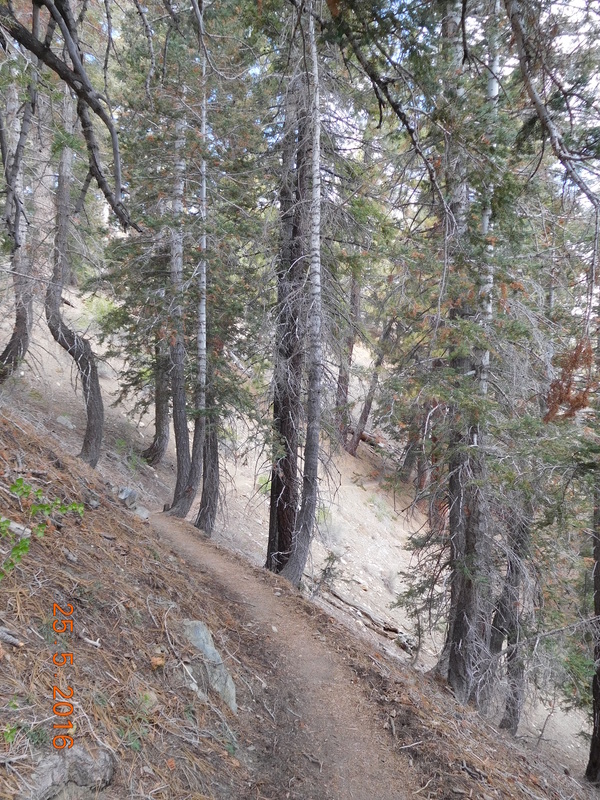
Passing through a pine forest.
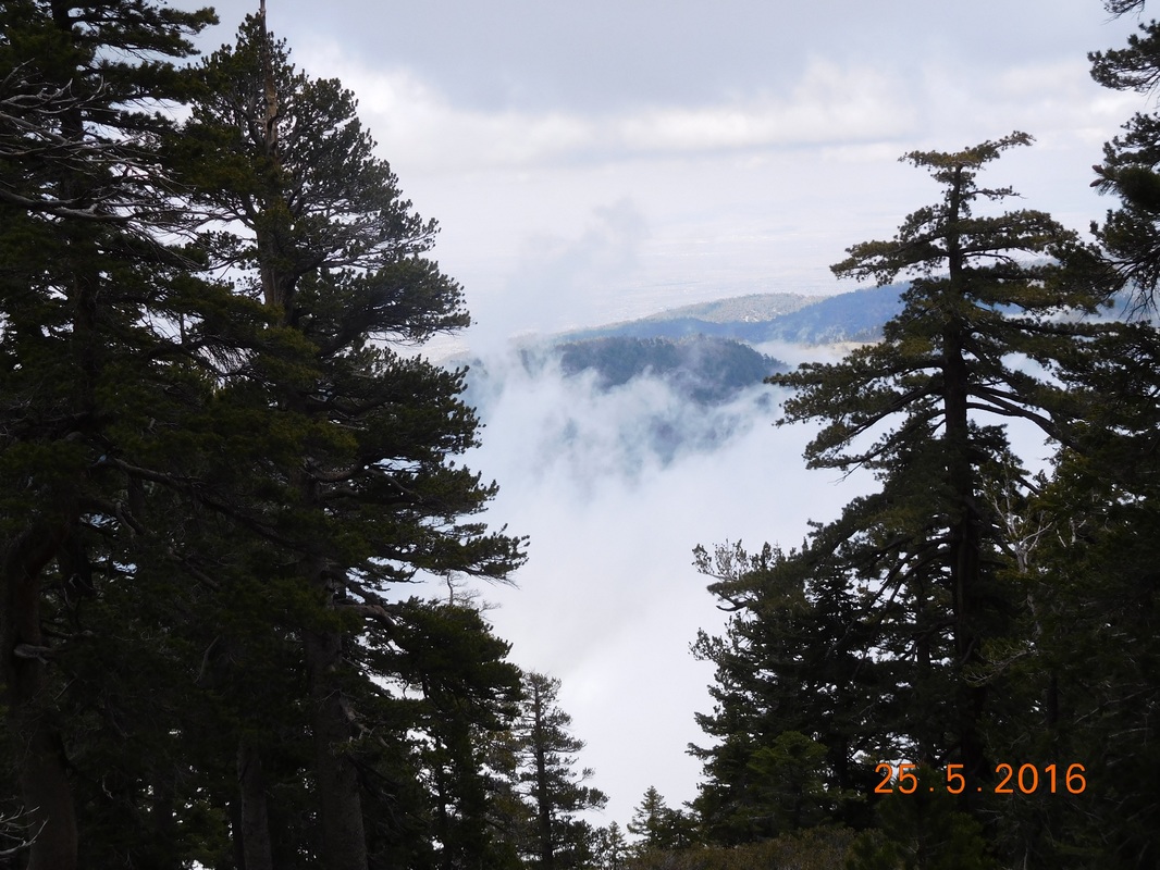
Here are those low clouds I was talking about:
Clouds over the valley
The trail went a little ways and i noticed a ski lift in the distance. It winds up that the PCT cuts right across Mountain High Ski Resort.
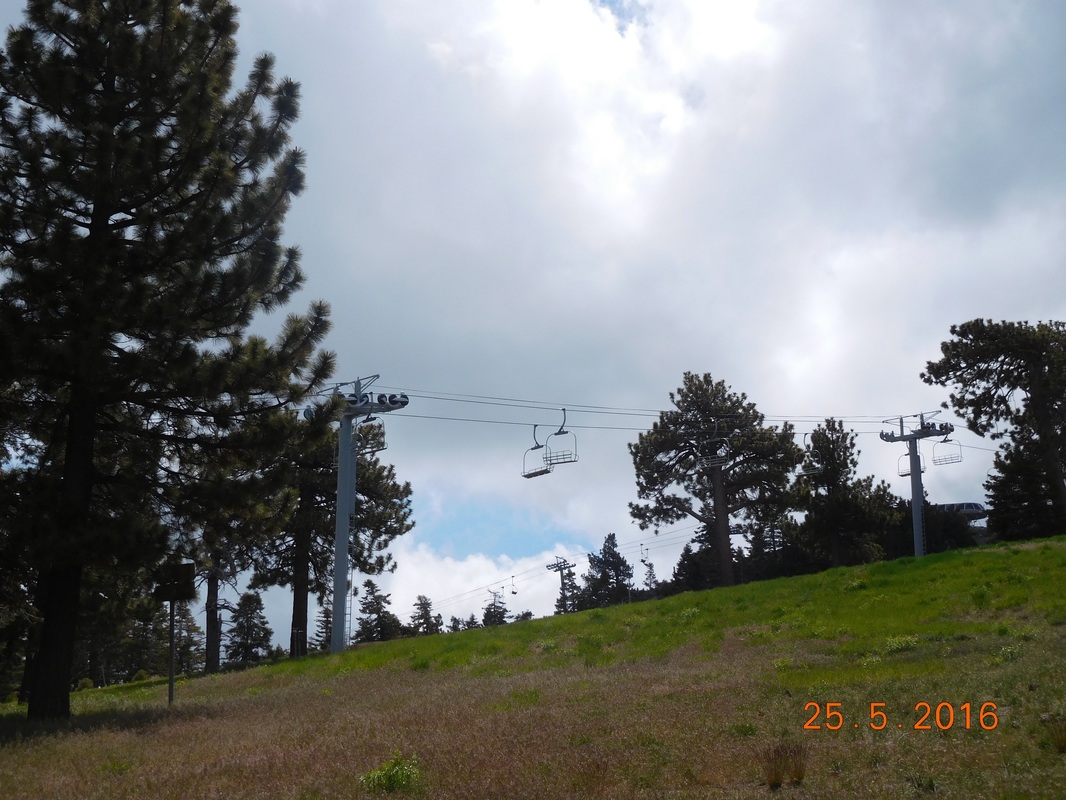
Ski lift above the PCT.
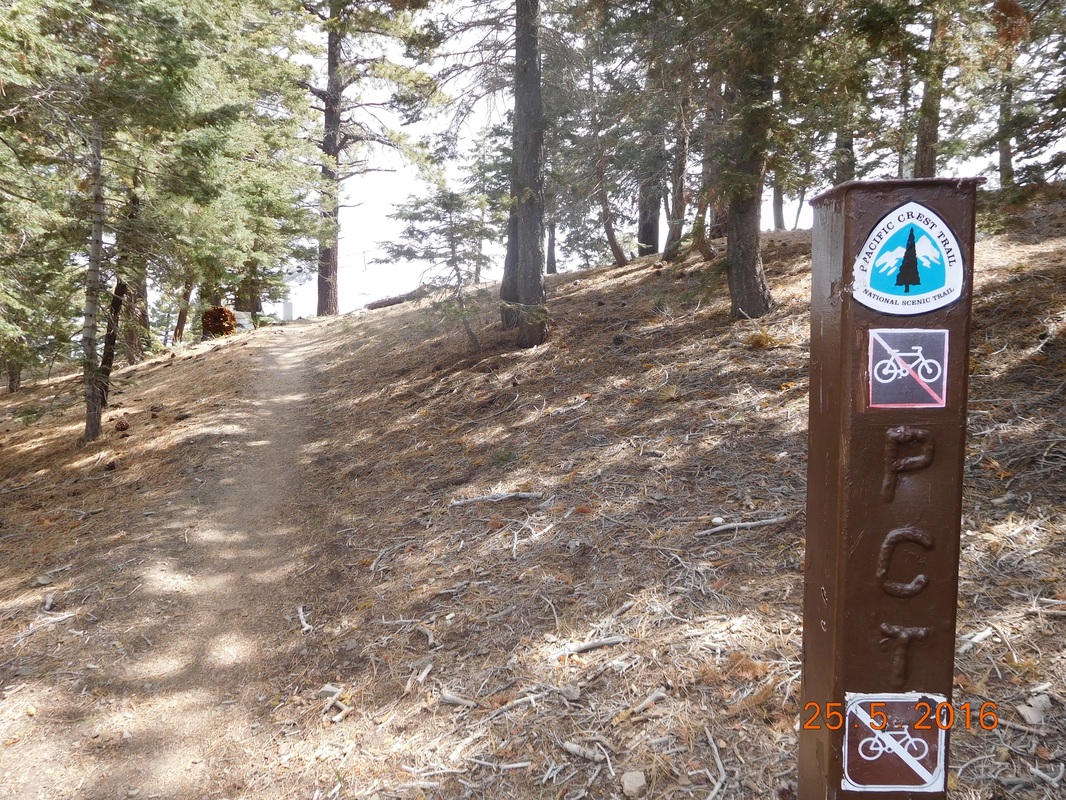
PCT sign of the day with chair lift in the background
Luckily this time I didn't have to hike down the ski hill like I had to in Big Bear. There was a trail that cut through and around the hill.
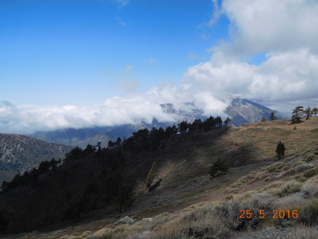
Finally, as predicted, as I hiked lower, the mist appeared.
Finally, as predicted, as I hiked lower, the mist appeared.
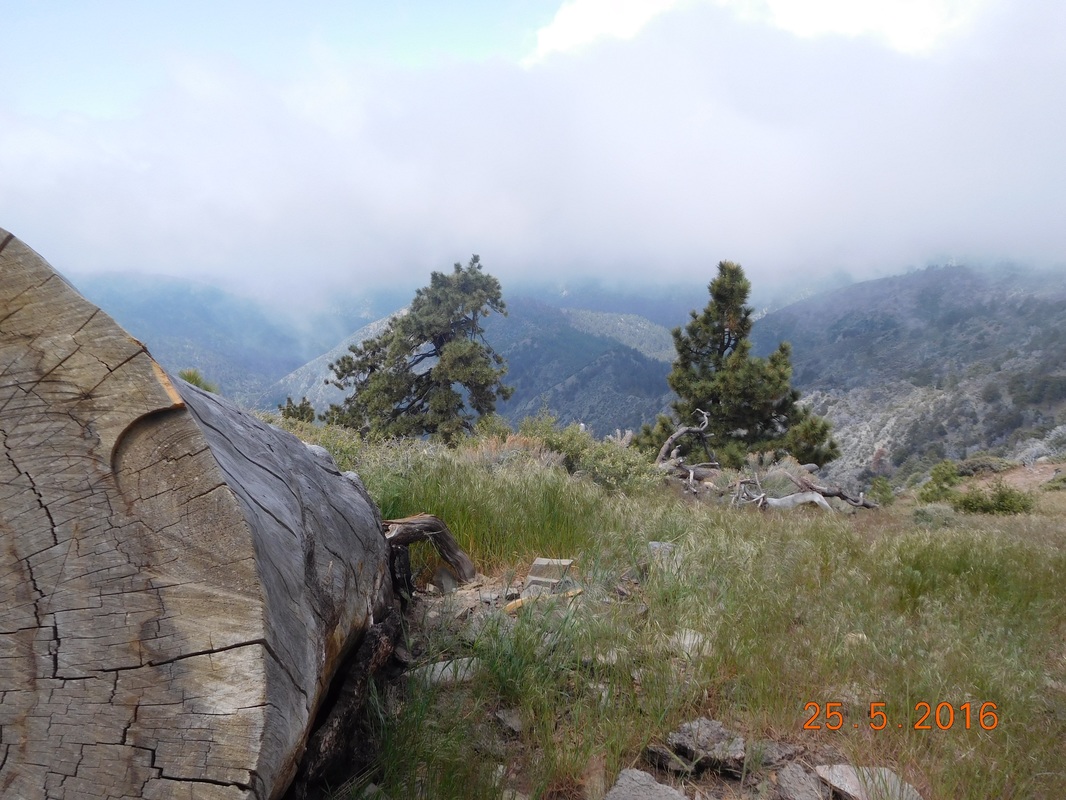
Misty mountains.
The trail surprisingly took me to the top of the ski resort:
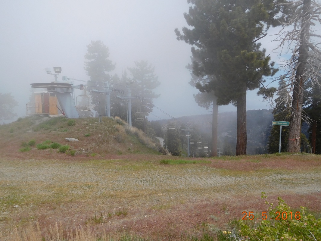
Top of Mountain High Ski Resort
My ankle actually feels pretty good today. The only tough part I have is when the trail gets rocky and I have to step on unsteady rocks. That side-to-side motion of the foot hurts a little. But, the joy of being back overpowers the little pain, so I endure.
Yucky rocky trail
Right on schedule, I arrived at Inspiration Point at 11:15 AM. This is the point where most hikers hitchhike into Wrightwood to resupply or take a day off.
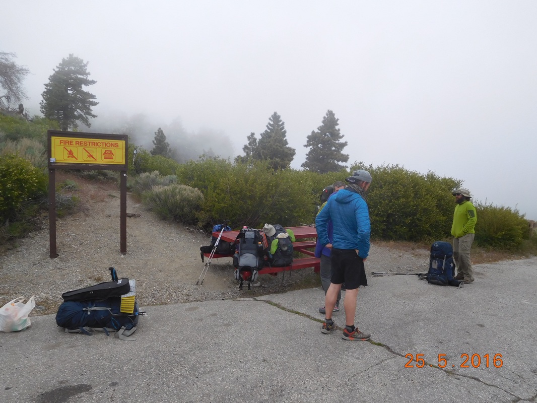
Hikers just getting back from Wrightwood
Tim wasn't here, so I suspected that he gave some hikers a ride into town. Sure enough, he arrived about 10 minutes later with 2 hikers int he truck that needed a ride from town. He found them after he dropped off 2 other hikers in town.
We were supposed to eat lunch here, but the mist rolled in and it was freezing. There is another picnic area less than 1 mile up the road, so we decided to try that one instead. As Tim was about to drive off and I was about to hike on, 3 hikers appeared and began to hitchhike. Tim decided to offer them a ride into town, so I hung out at Inspiration Point to watch some gear that had to come out of the truck so 3 other people could fit.
Tim left, and 15 minutes later appeared with 3 other hikers that needed a ride from town back to the trail. Tim really could have driven back an forth all day, be he is here to support me, so off he drove and off I hiked to the next picnic area.
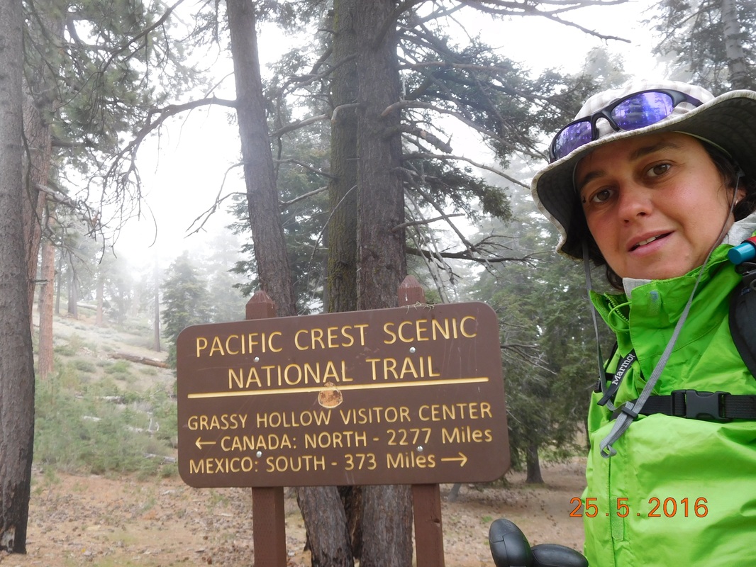
I made it to Grassy Hollow Visitors Center pretty quickly and Tim and I had lunch. They had this really cool PCT right on the trail there:
We were supposed to eat lunch here, but the mist rolled in and it was freezing. There is another picnic area less than 1 mile up the road, so we decided to try that one instead. As Tim was about to drive off and I was about to hike on, 3 hikers appeared and began to hitchhike. Tim decided to offer them a ride into town, so I hung out at Inspiration Point to watch some gear that had to come out of the truck so 3 other people could fit.
Tim left, and 15 minutes later appeared with 3 other hikers that needed a ride from town back to the trail. Tim really could have driven back an forth all day, be he is here to support me, so off he drove and off I hiked to the next picnic area.
I made it to Grassy Hollow Visitors Center pretty quickly and Tim and I had lunch. They had this really cool PCT right on the trail there:
Slowly but surely
After lunch the plan was to meet 3.66 miles up the trail at Vincent Gap where there is a parking lot for day hikers hiking up Mount Baden-Powell. This is also where we plan on eating dinner and spend the night. I told Tim that I will see him in a couple of hours and headed back out into a misty pine forest.
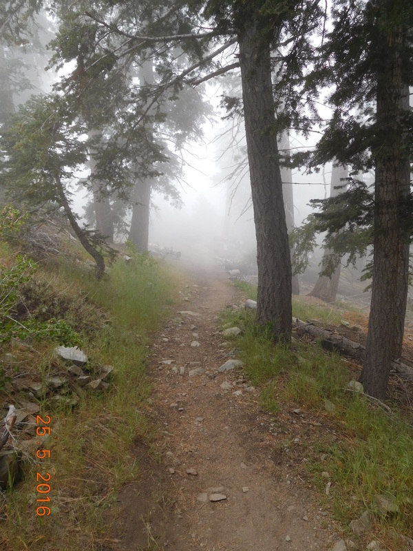
Misty pines.
The trail went down, down, down into a forest of these really cool trees.
Interesting trees.
And then I came across the perfect place for a self-portrait.
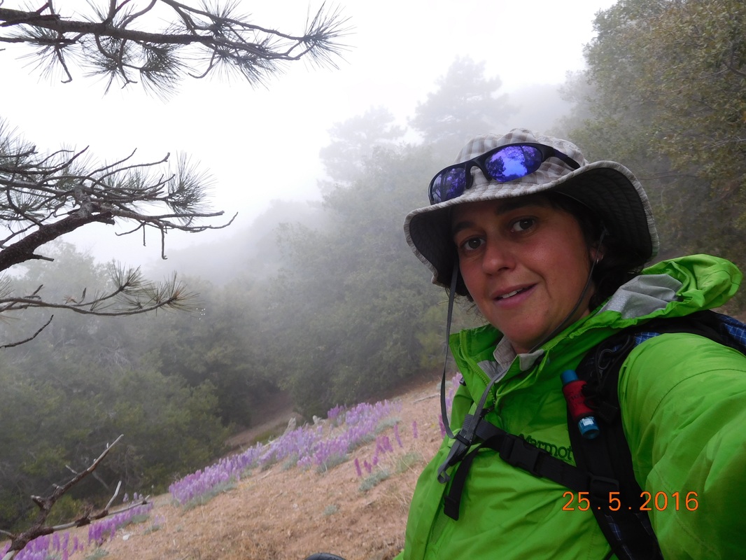
Self-portrait "Purple flowers with mist"
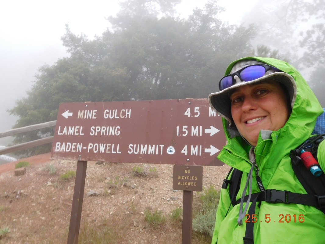
Finally, at 3:00 PM I made it to Vincent Gap. It was only 3:00 and I was feeling like I had more hike in me, so I decided to continue on. The other decision I made is that I wasn't going to rely on Tim meeting me in 5 days to resupply and that I was going to carry 7 days worth of food. My reasoning is that I didn't want to be stuck to a schedule. If I'm feeling good, then I want to be able to hike on and not worry that I had to be at a specific place in 5 days from now. The trail is about to go into a remote area and I don't know if I will be able to contact Tim to change the plan.
It took me about 30 minutes to pack my bag for the 7-day stretch. 7 days of food weighting about 18 pounds plus 4 liters of water weighing almost 9 pounds, plus all my gear...my bag must weigh around 45 pounds...OY!!
My plan is to hike up 3 miles to a marked campsite. Tim decided to hike halfway up with me and he was kind enough to carry 2 liters of my water which felt huge when he took them off my back.
These 3 miles will take me up 2,058 feet to an altitude of 8.638 feet.
Ready for the climb up Baden-Powell
Wow...the climb was steep and kind of chilly, and the mist continued.
Mist rolling in
Finally, just over 1 hour later, 1.7 miles, and 1,189 feet of climbing, we made it to Tim's turnaround point.
Tim's successful hike.
We said goodbye. It will be 7 days until I see him again. I think this is the longest stretch I will be on the trail without meeting up with him.
I got my 4.4 pounds of water back and continued to climb. I have 1.32 miles and 869 feet of climbing left. It also seemed that we climbed above the clouds.
I got my 4.4 pounds of water back and continued to climb. I have 1.32 miles and 869 feet of climbing left. It also seemed that we climbed above the clouds.
Above the clouds
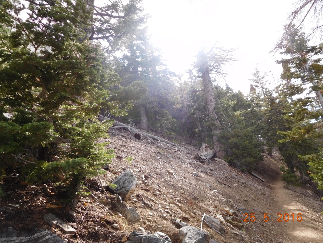
That 1.32 miles were really hard. Between my heavy pack, getting tired, and starting to feel hungry, it was difficult.
I finally pulled into camp right at 5:30...2 hours after leaving the parking lot. All in all I managed to average 1.5 miles an hour which I feel is pretty good considering the terrain and my pack weight.
When I got here there were 2 guys that we met yesterday at Guffy Campground and then Alex, who I met 2 days ago decided to stop here as well. I had dinner with Alex. He is an Aeronautical Engineering student at Purdue University. He hopes to work for Space X when he graduates. I was so happy to finally meet a young hiker who has ambitious goals.
We pretty much ate dinner and then had to get into our tents since it was really cold. I guess 8,638 feet is pretty high. It is actually really cold right now. I don't know how I continue this blog with frozen fingers, but I am glad that I am done.
Tomorrow I summit Mount Baden-Powell in only 1 more mile and then it should be downhill from there. Until tomorrow...
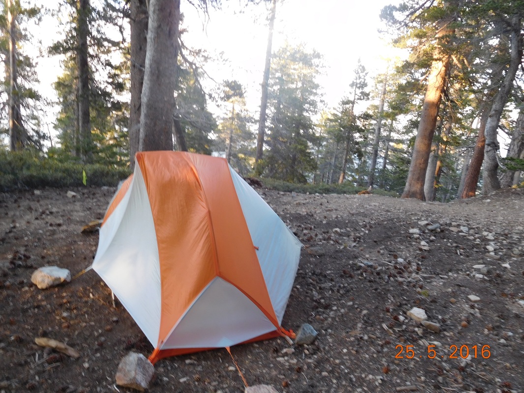
Tonight's cold campsite.
 RSS Feed
