Campsite on Fuller Ridge to Ziggy and the Bear
Last night was almost a perfect night. It was warm enough that I didn't have to wear my hat to sleep for the first time on the trail. The not so perfect part is that the site I pitched the tent on wasn't the flattest spot. I woke multiple times in the night with my back hurting, but was able to get back to sleep. I finally awoke around 7:00 AM and got up.
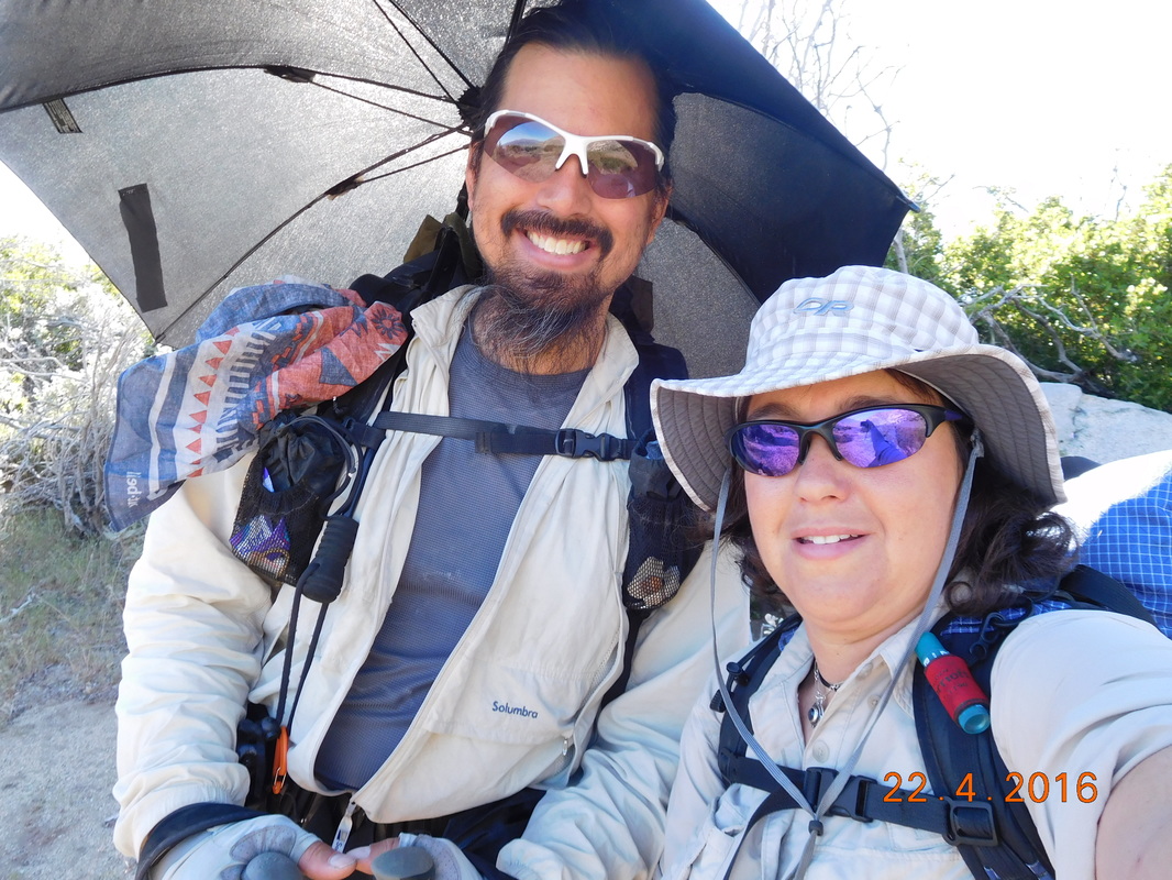
We were anxious to start hiking since we had almost 14 miles to hike. We were somehow able to break camp and start hiking just after 8:00 AM...just over one hour from when we awoke.
We were anxious to start hiking since we had almost 14 miles to hike. We were somehow able to break camp and start hiking just after 8:00 AM...just over one hour from when we awoke.
Getting an early start today.
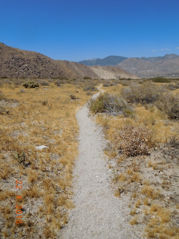
From leaving camp we had 8.56 miles to get to the water fountain at the bottom of Fuller Ridge. We each had only 2 liters of water, so it was pretty important to get down there as soon as possible. In these 8.56 miles we have to descend 3,519 feet...not an easy task. But luckily, we had some nice landscape to enjoy.
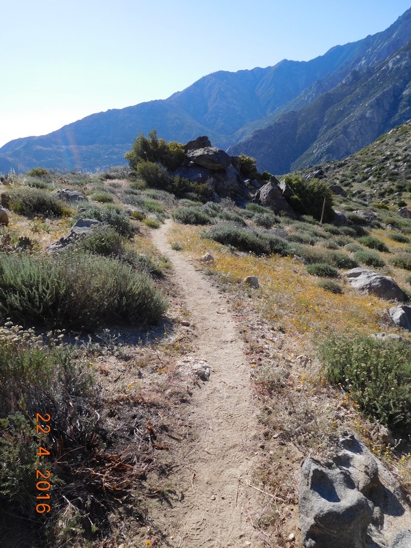
The beautiful trail
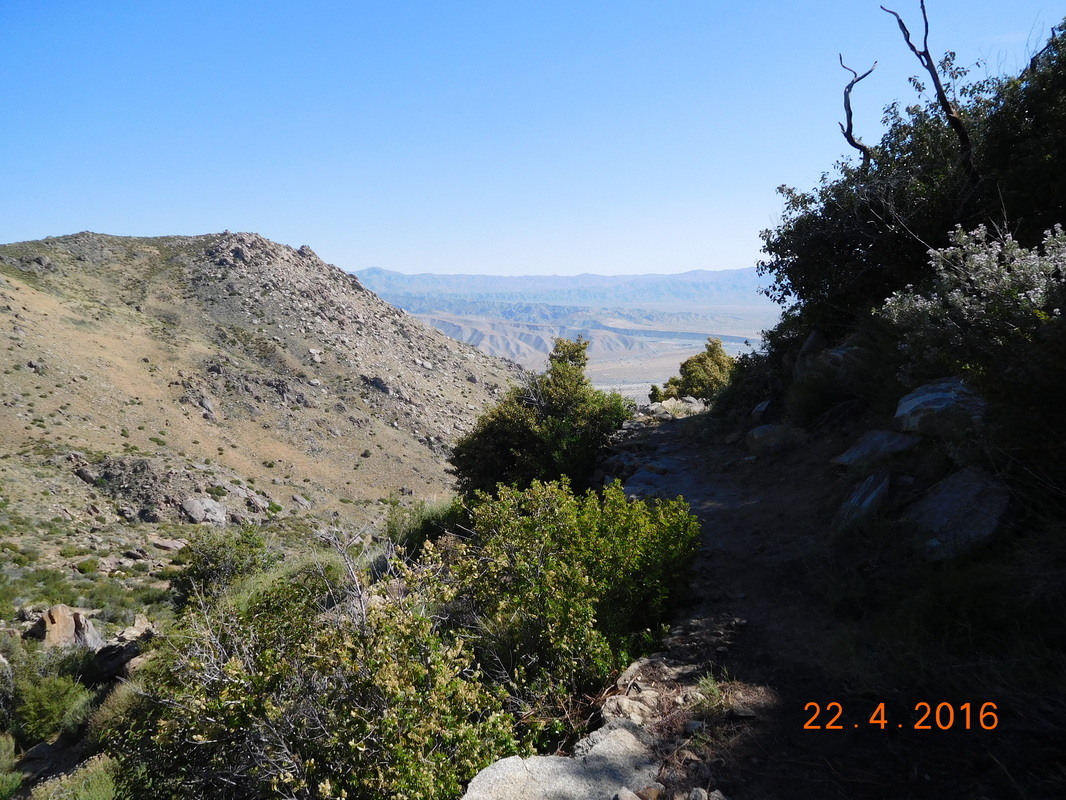
A great view down the canyon
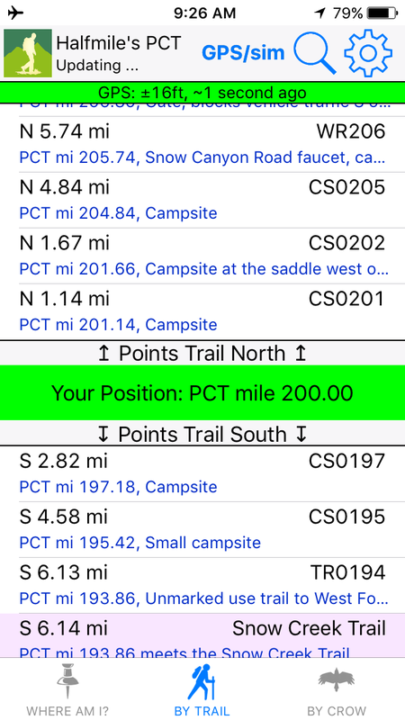
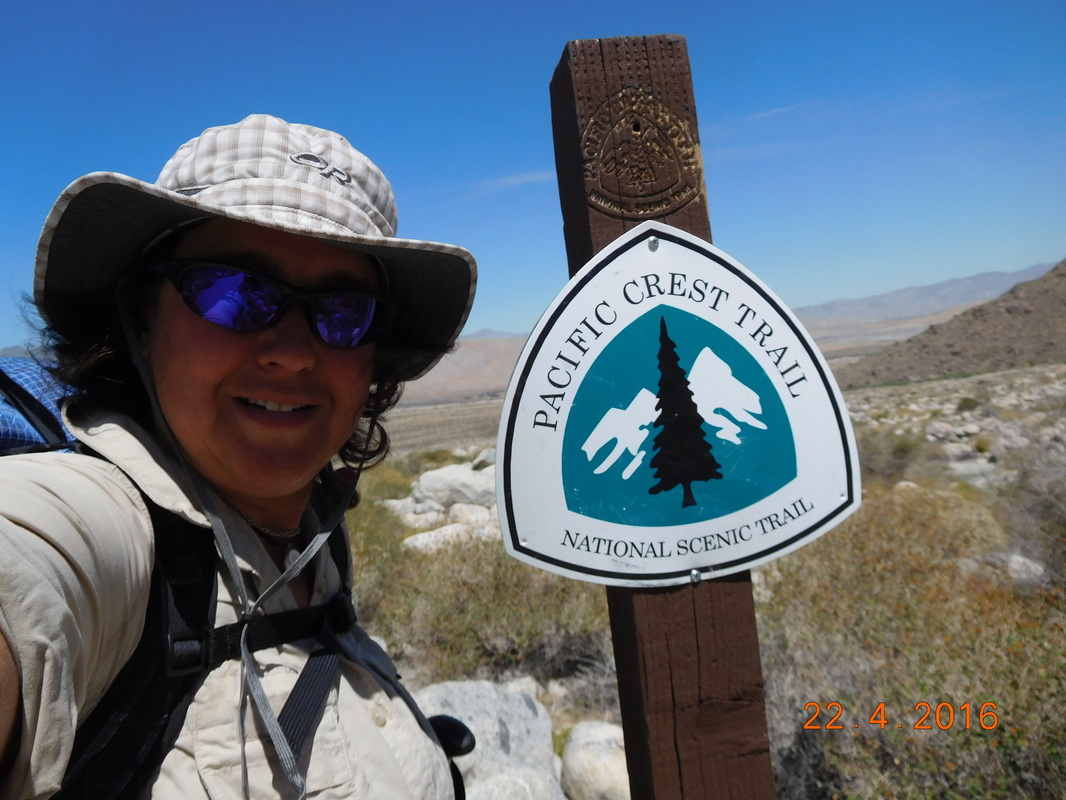
1 1/2 hours from leaving this morning we hit a milestone...the 200 mile point on the trail. WOOHOO!!!
Proof of me standing at mile 200.
It was weird. Just over 1/2 mile from the 200 mile point, there was a sign pointing out 200 miles. Since the sign was placed the PCT must have been lengthened. If you look closely you will see a lizardy creature hanging out on top of the sign.
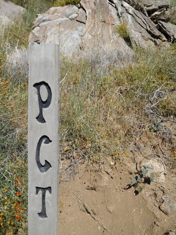
PCT sign with lizard on top.
At just about 10:00 AM we reached the dreaded campsite that Tim and I shared 2 years ago on our PCT quest. That night was the worst night we spent on the trail during a serious windstorm that kept us up all night. BLAH.
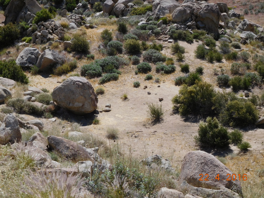
The site of a nightmare 2 years ago.
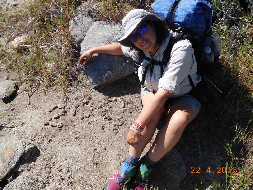
We continued down and down and down. The hike was dragging on, especially since we could see our destination just below us all day...and all of yesterday. I did however manage to get a nice picture of myself:
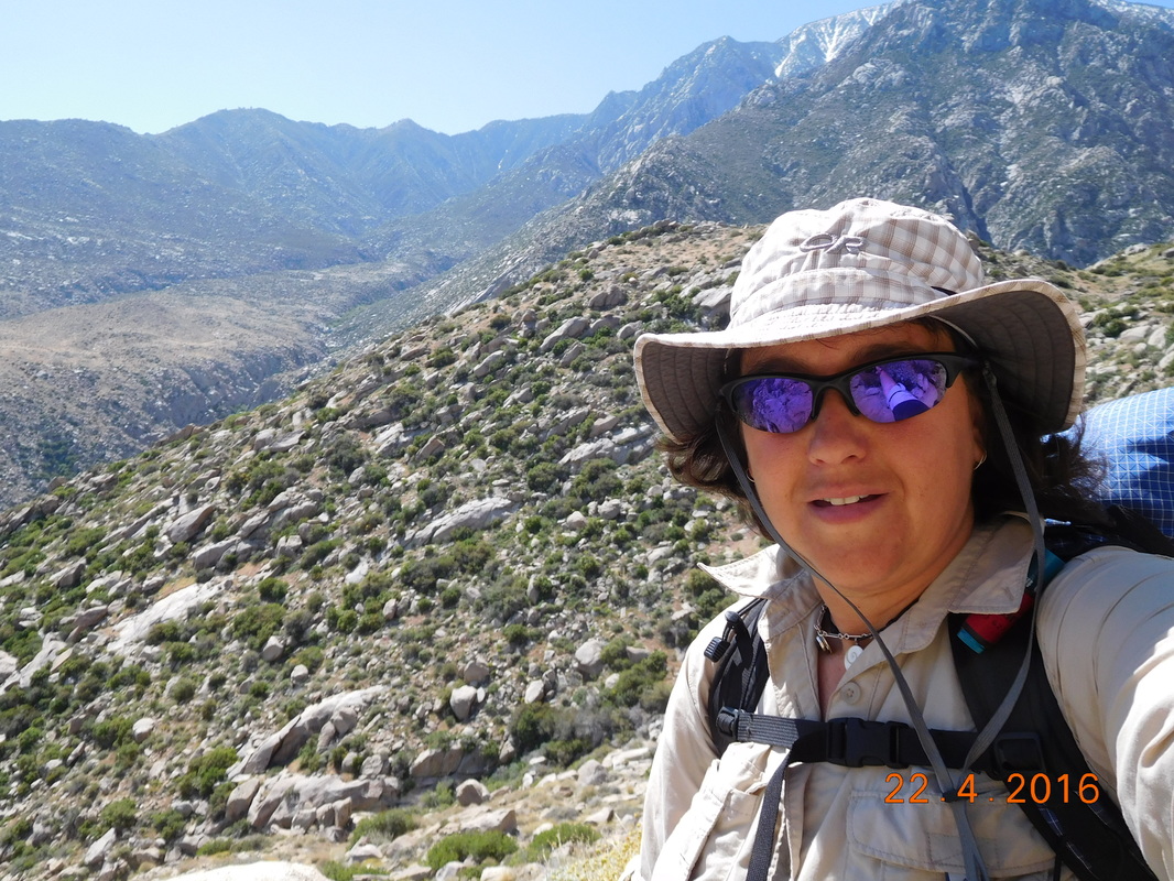
Self-portrait "Done with the down already"
We had 2 miles to go and it was 11:30 AM. We were both short on water and hungry because we didn't have enough water to drink with lunch, so we had to wait. We sped up the hike and then finally, the fountain came into view.
Finally, a view of the fountain.
We made it down to that fountain, 2 miles, in 45 minutes...yes we were motivated!
FINALLY!!
We filled up on water and was about to eat lunch when we noticed a note taped to the fountain that said "Coppertone is just 1 mile down the road with shade and ..." We knew that we had to make it there to eat since the little shade the rock gave us was really not enough. So off we went, down the road that at this point is the PCT.
Feeling better now that I have water.
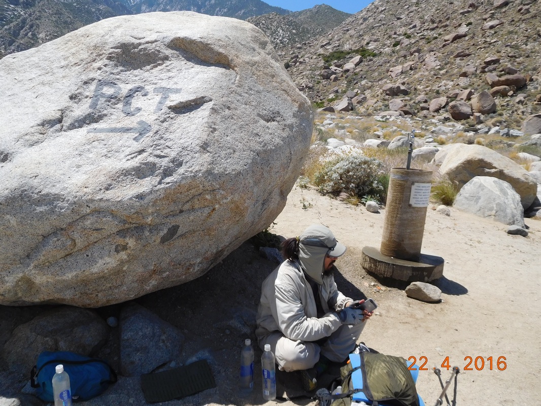
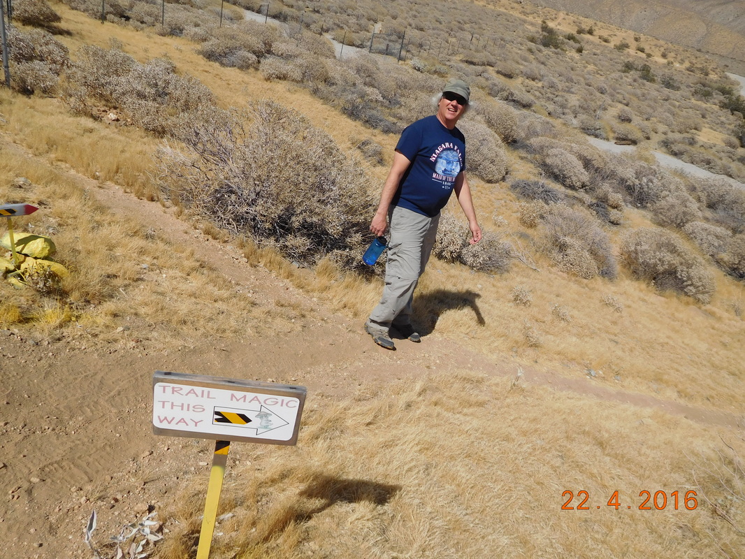
Sure enough, after 1 mile we came across a truck-like, camper-like vehicle and Coppertone. As promised he had shade, but he also had cookies, doughnuts, cupcakes, and fruit...we just missed the ice cream.
Coppertone (seen below in the red baseball hat and no shirt) thru-hiked the PCT back in 2007. During the hiking season he drives his vehicle to various spots on the trail to give back the the trail that he loves. He was at this location just yesterday and today, so we timed it just perfectly.
Coppertone (seen below in the red baseball hat and no shirt) thru-hiked the PCT back in 2007. During the hiking season he drives his vehicle to various spots on the trail to give back the the trail that he loves. He was at this location just yesterday and today, so we timed it just perfectly.
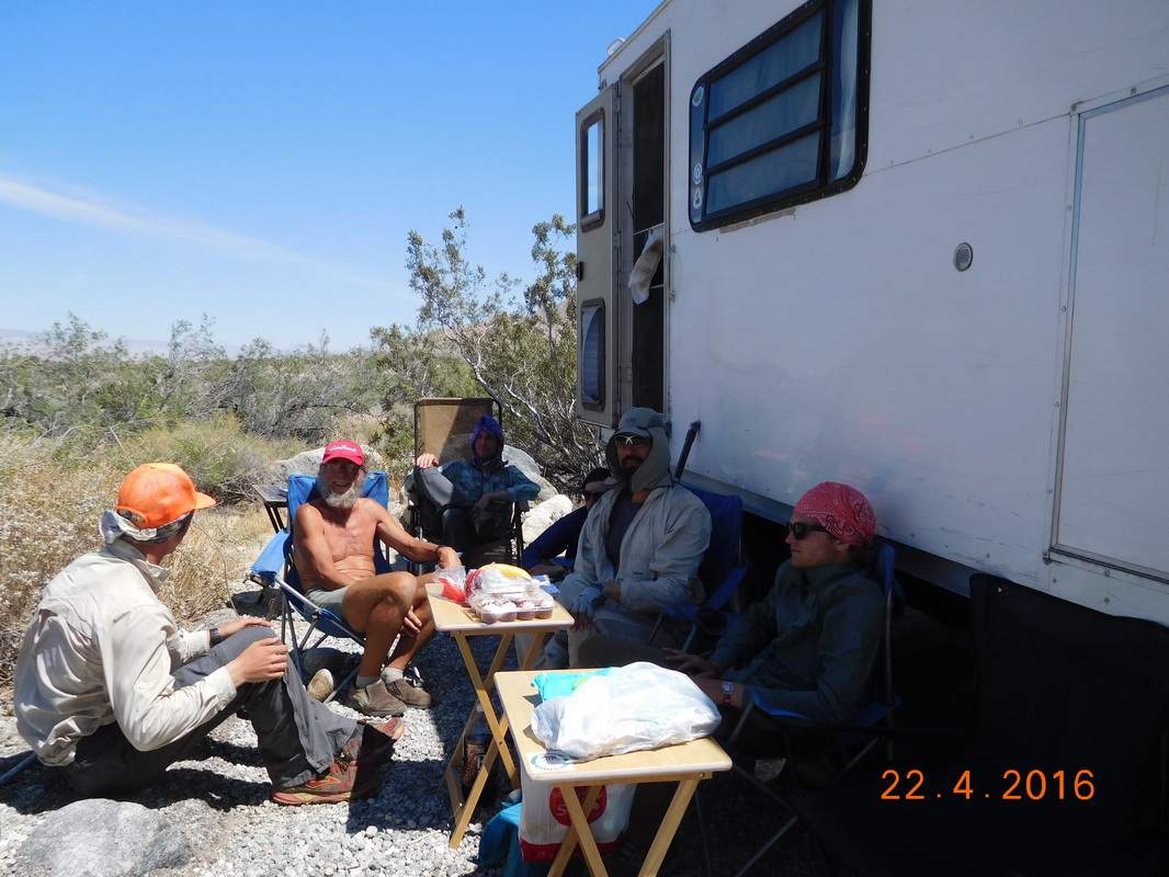
Coppertone providing magic to PCT hikers.
After eating our lunch and being forced to eat a doughnut we had to go. Although we made it to the fountain, we still had 4 miles of desert hiking to make it to our finally destination of the day were Tim and Brad's girlfriend is going to meet us.
So, off we went onto the desert floor, walking through beach-like sand.
So, off we went onto the desert floor, walking through beach-like sand.
PCT cutting across the desert floor.
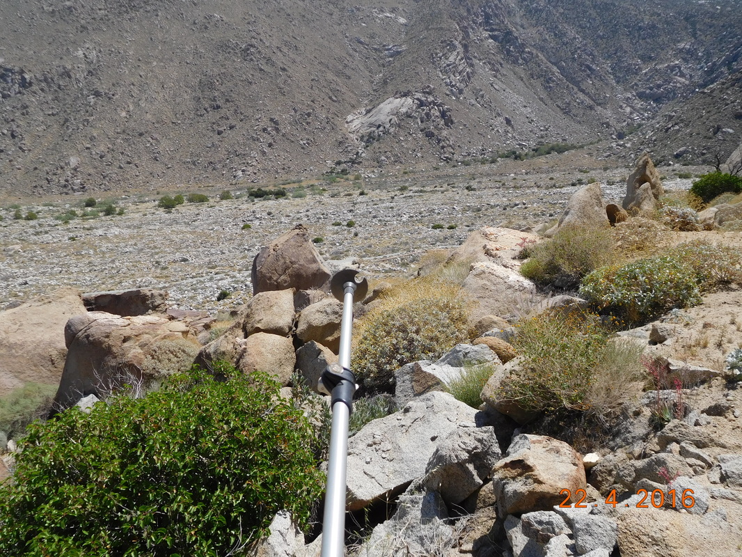
This part of the trail is easy to loose since it is a sandy trail through the sandy desert. Because of this, the trail is marked by tall poles with yellow tops. When you get to one, you look into the distance to find the next one to aim for.
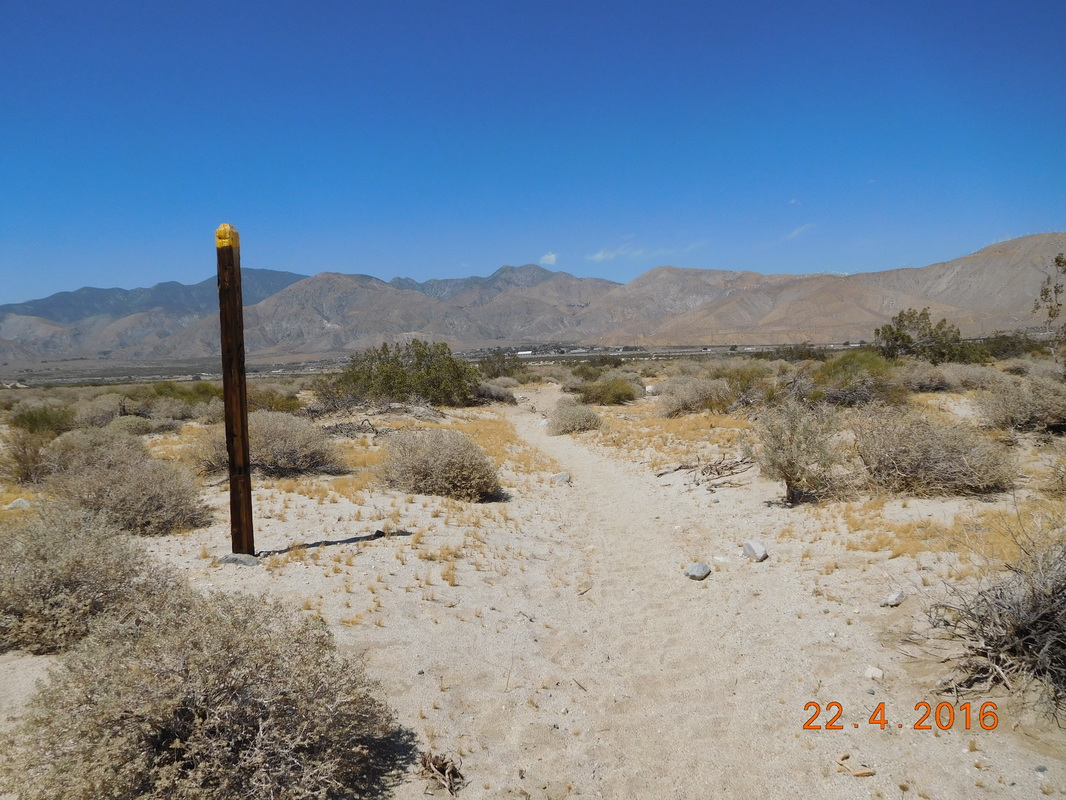
Desert pole marking of PCT.
We finally made it to another landmark I-10. Now we just have 1.5 miles to the final destination.
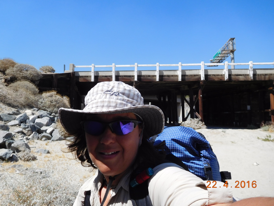
Crossing under I-10.
After walking under I-10 I turned around and looked at awe at how far we have come since yesterday. Just yesterday we stood pretty close to the top of that snow-covered peak on San Jacinto.
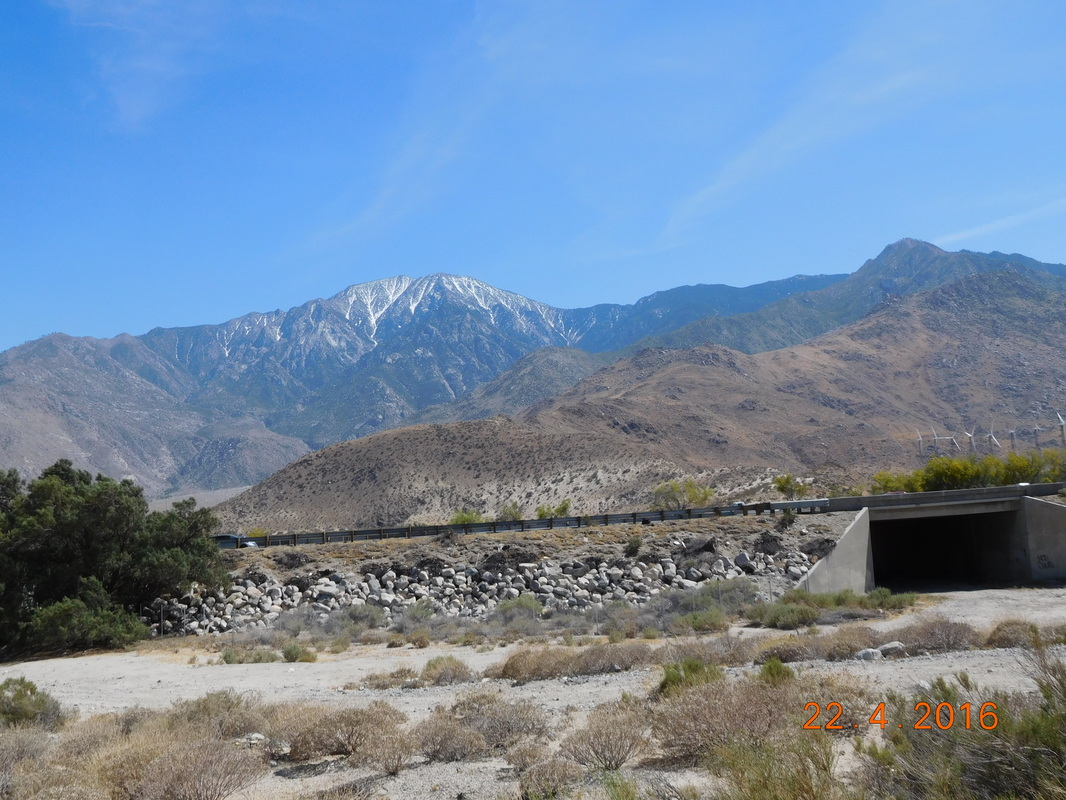
We were way up there yesterday.
Finally, Tim appeared to lead us to the trail magic of Ziggy and the Bear:
Hi Tim.
Then, at 3:20 PM, after almost 14 miles and 7 hours of hiking we made it to the Whitewater Trail House run by Ziggy and the Bear. They are an elderly couple that have been providing trail magic since 1994. They purchased this house 4 years ago because of its proximity to the PCT so they can help out hikers. When I signed in I was guest number 285. That's a lot of hikers in just the 3 weeks of hiker season.
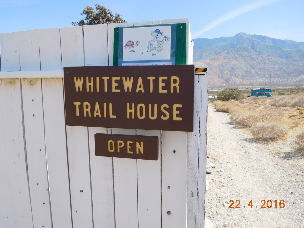
A very warm welcome.
Now comes the hard part of the trail. This is where the trail closes just north of here. The official detour is to drive to Big Bear 60 miles away. But me being me has to walk. So right now I am in a hotel in Banning, CA with Tim ready to start my 60 mile road walk tomorrow. Many parts of this road walk will be along dirt roads, but first I have to get though a 20 mile hike along an I-10 service road.
Tomorrow I will let you know how it goes.
Tomorrow I will let you know how it goes.
 RSS Feed
